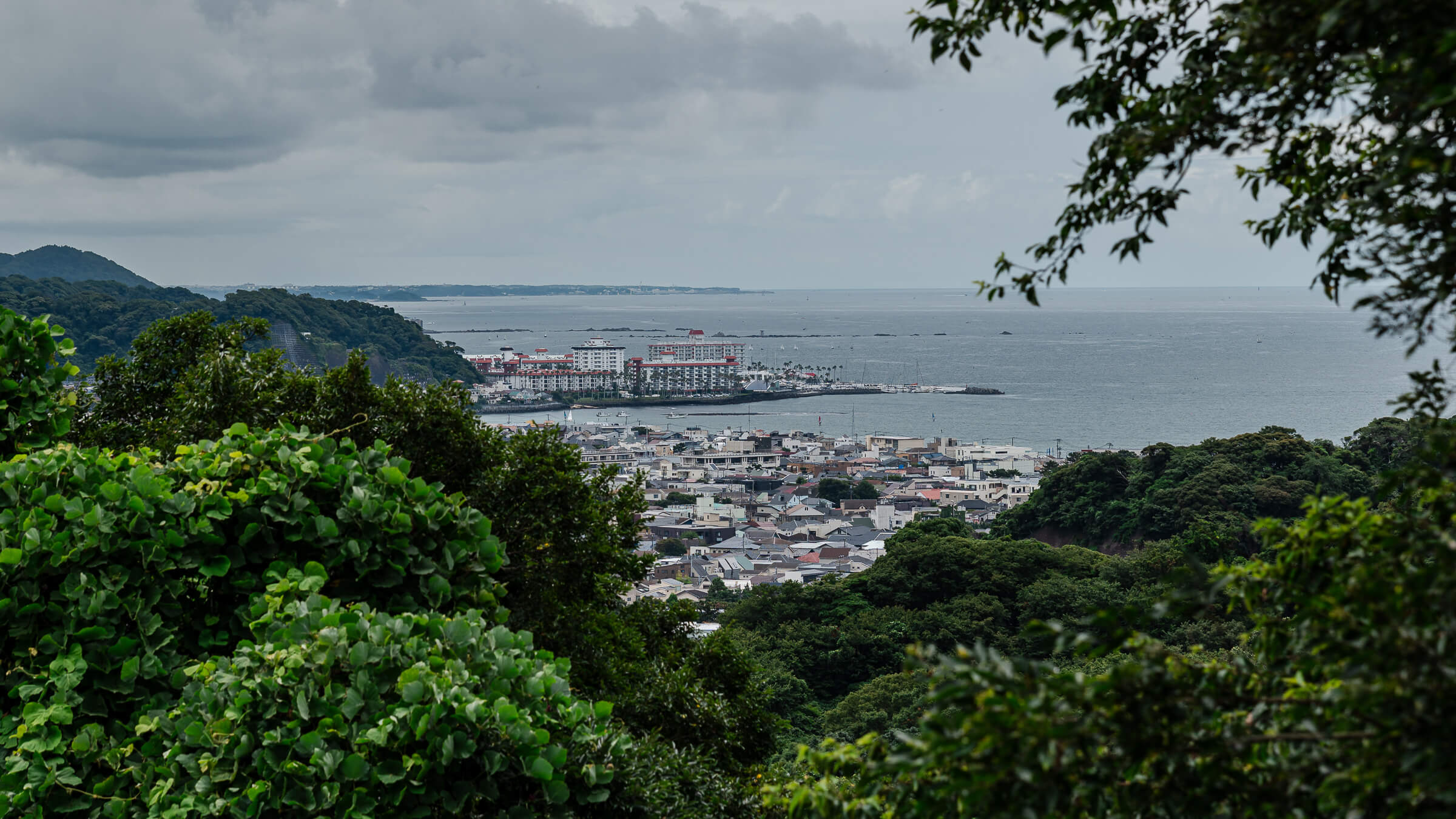
A Forest Route Across Kamakura
The Daibutsu Hiking Course links the temple district of Kita-Kamakura with the Great Buddha and Hase through the wooded hills that separate the two areas. While many visitors travel between these districts by train or local roads, the hiking course offers a scenic alternative, combining forest paths, historic sites, and opportunities to visit nearby attractions. It provides a different perspective on Kamakura while remaining close to many of the city’s best-known landmarks.
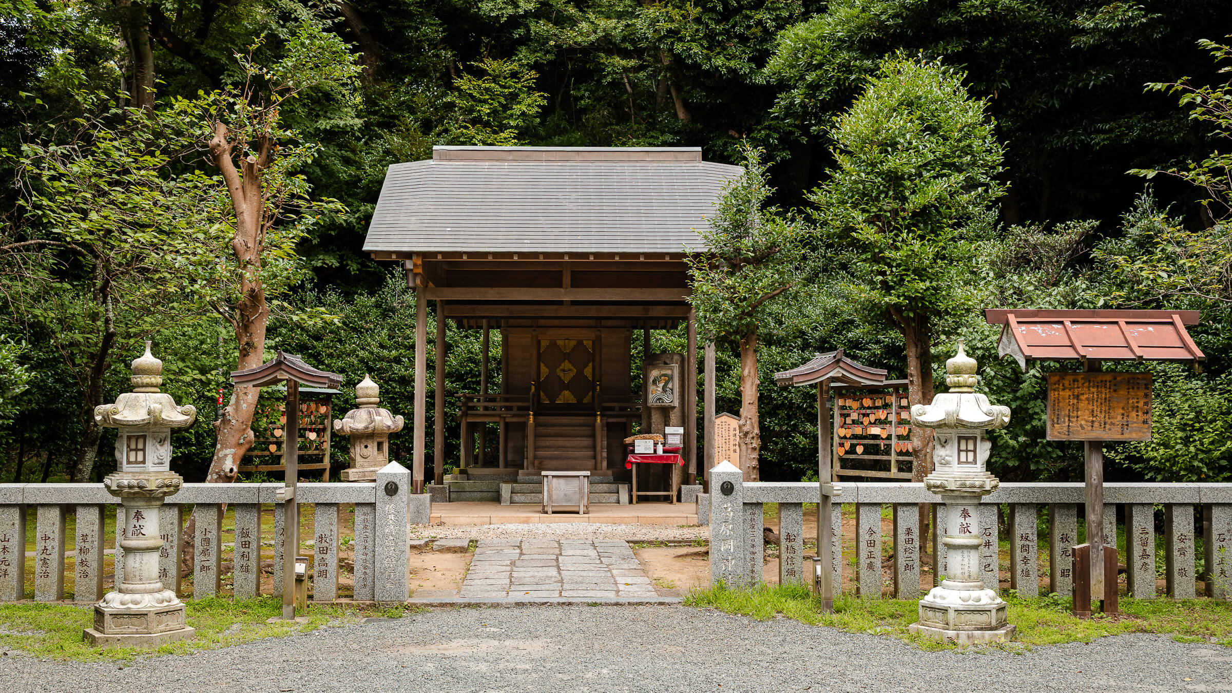
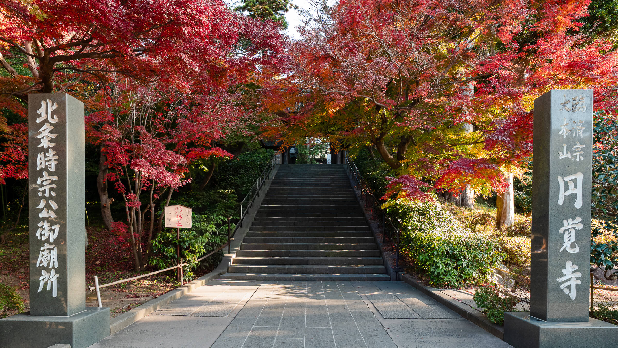
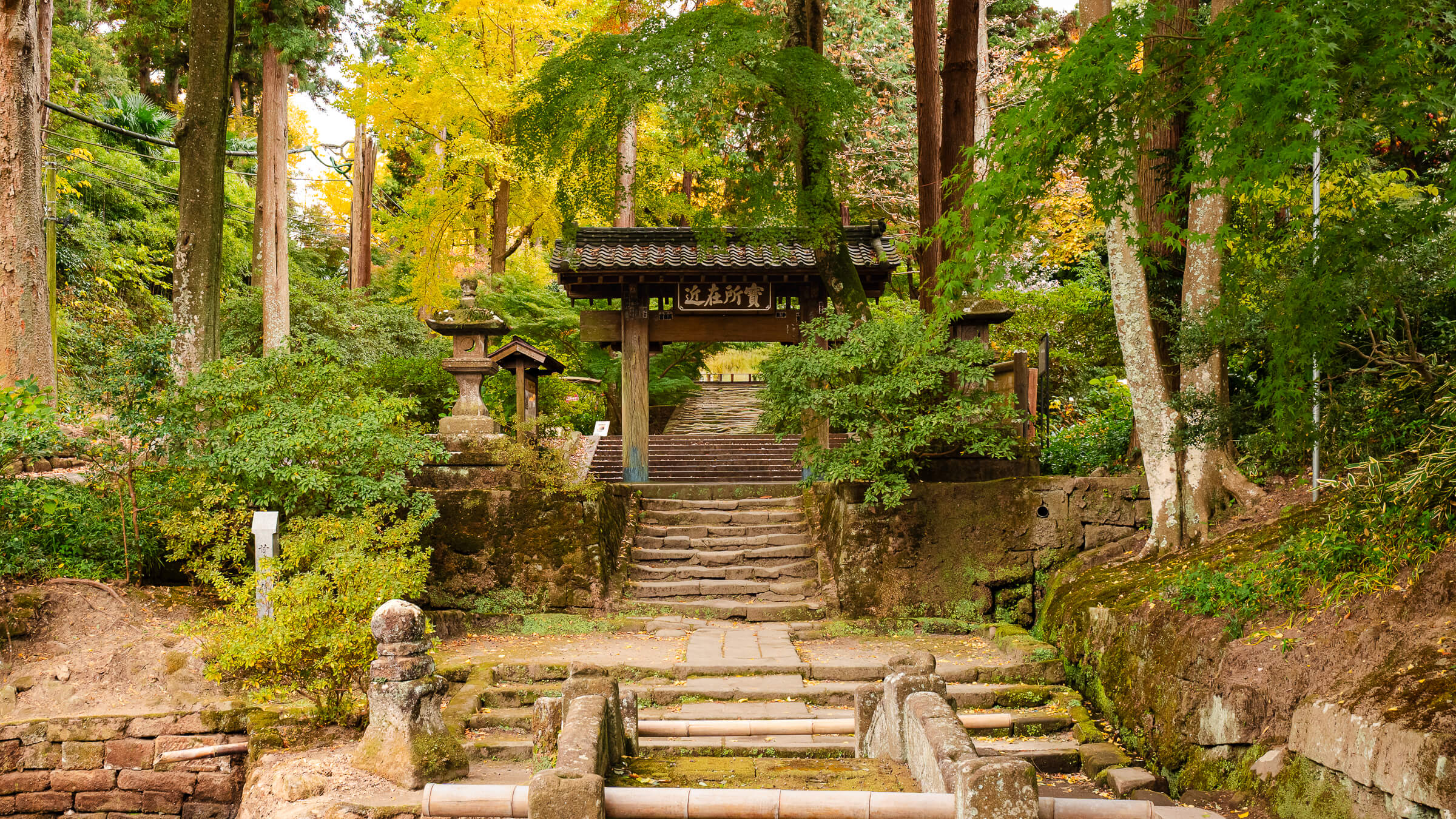
Most visitors begin near Kita-Kamakura Station, where the walk naturally passes Tōkei-ji and Jōchi-ji before reaching the trailhead. Once on the hiking course, Kuzuharaoka Shrine sits directly along the route and serves as a natural place to stop before continuing toward Hase. Visitors with additional time can also make short detours to Genjiyama Park or Zeniarai Benzaiten Ugafuku Shrine before returning to the main trail and continuing to Kōtoku-in and Hase-dera.
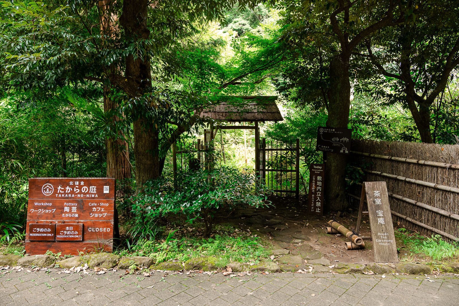
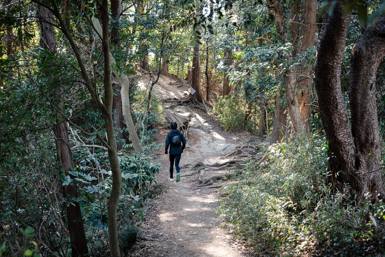
Allow around two to three hours to complete the Daibutsu Hiking Course at a comfortable pace, although optional detours and visits to nearby temples can easily extend the outing. The route includes uneven dirt paths, exposed roots, short climbs, and several flights of steps, but the trail is well maintained and clearly marked.
Why Walk the Daibutsu Hiking Course
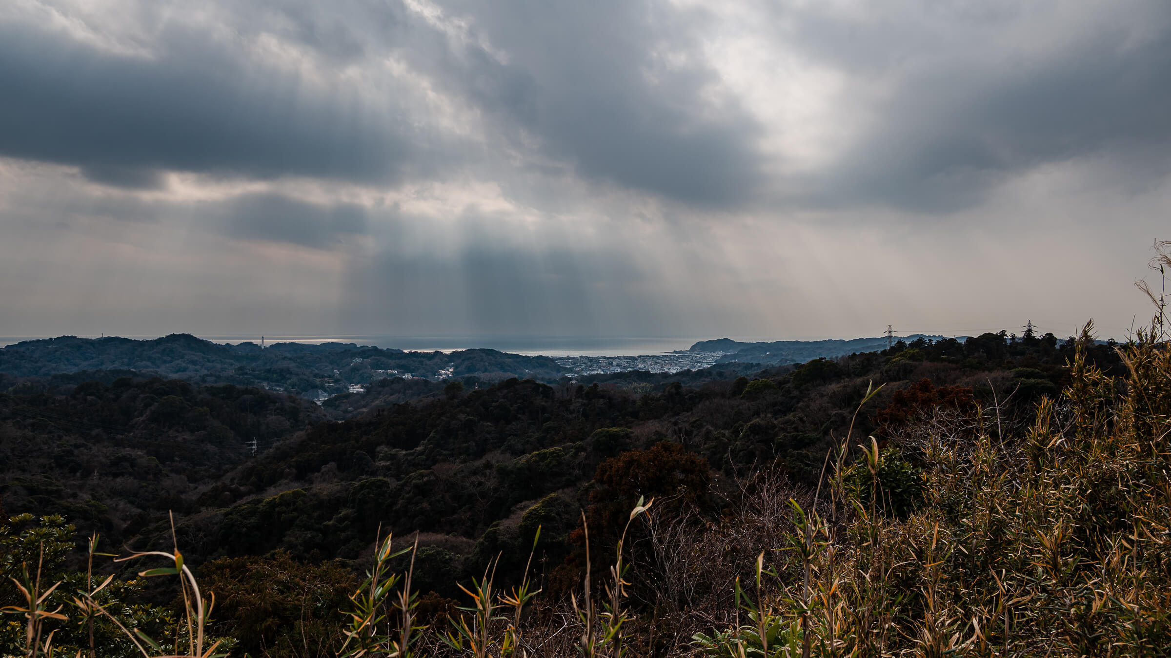
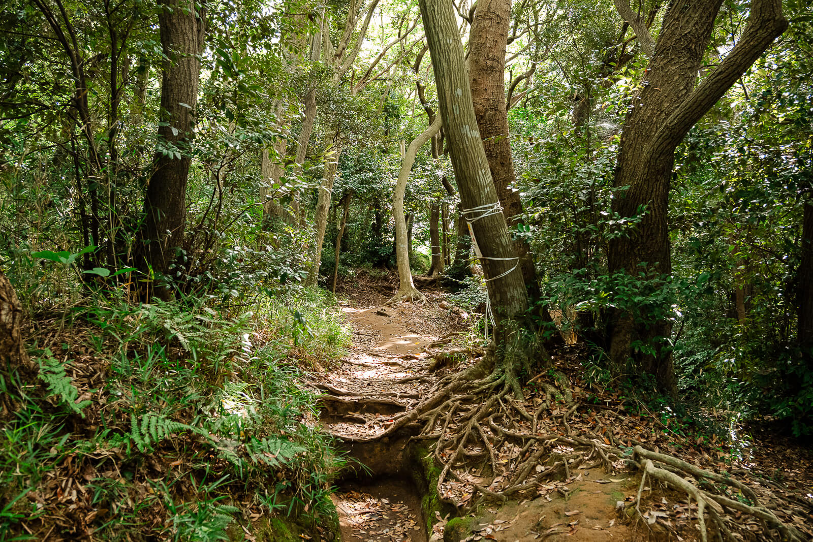
The Daibutsu Hiking Course offers an experience that is very different from Kamakura’s temple approaches, shopping streets, and train stations. The trail crosses the wooded hills between Kita-Kamakura and Hase, providing an opportunity to experience the city’s natural landscape while remaining connected to several major cultural sites.
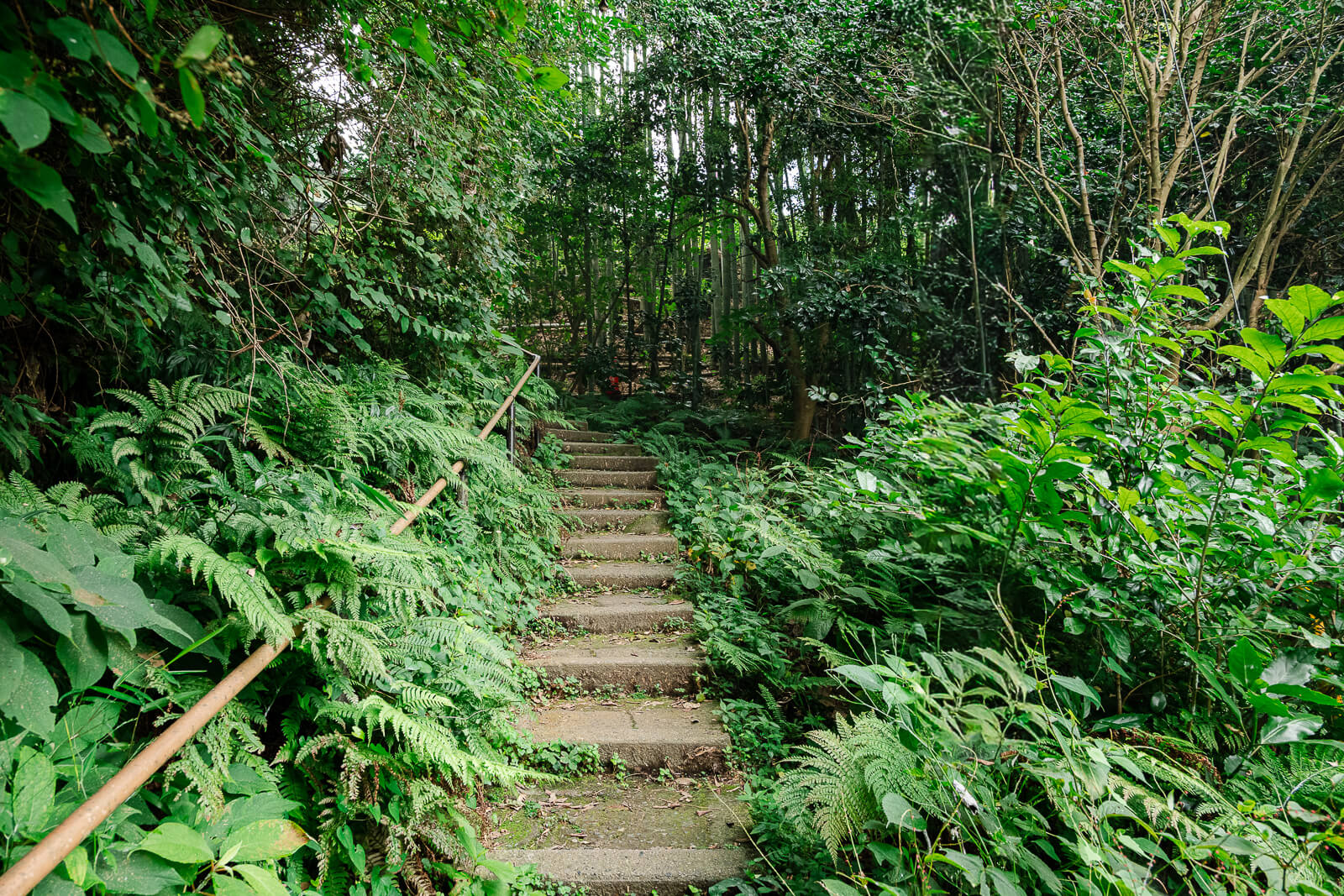
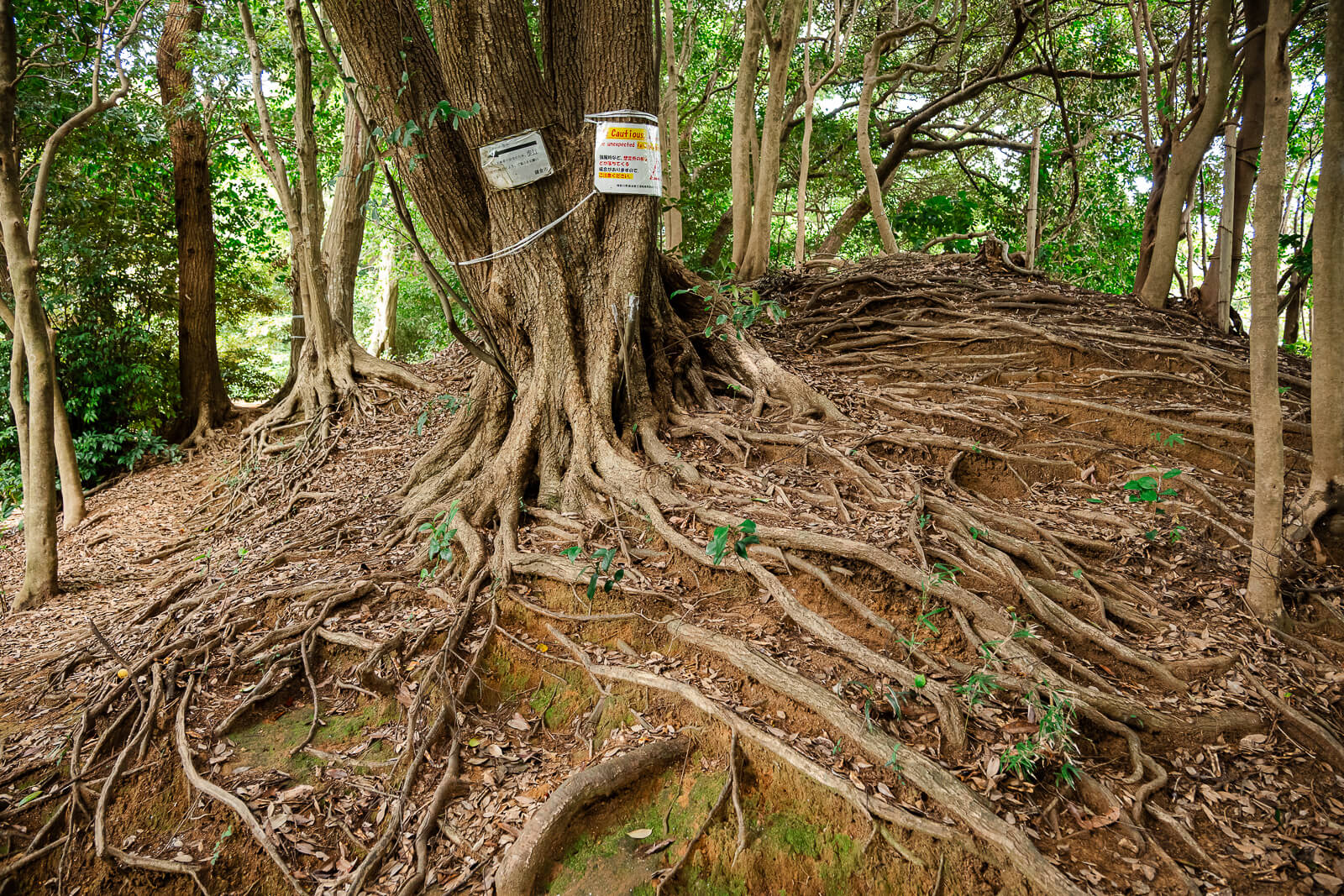
Unlike a mountain hike where the trail itself is the primary destination, this route connects places that many visitors already plan to see. Walking between Kita-Kamakura and Hase turns the journey between two sightseeing districts into part of the experience, combining forest terrain, shrines, temples, and elevated views before emerging near Kōtoku-in.
The course also gives a clearer sense of Kamakura’s geography. The city is shaped by wooded ridges and narrow valleys, and the trail makes that terrain much more apparent than traveling between the same areas by train. Moving through the hills before descending into Hase helps connect the temple districts, residential areas, and surrounding landscape as parts of the same city.
Understanding the Route
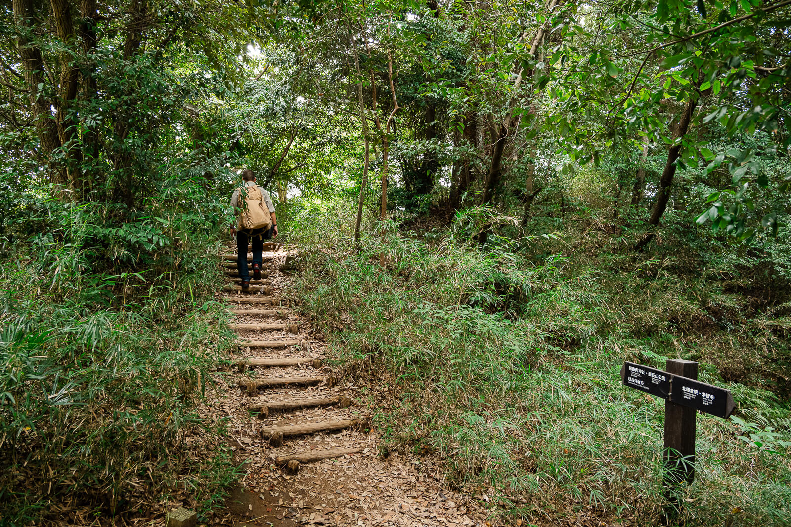
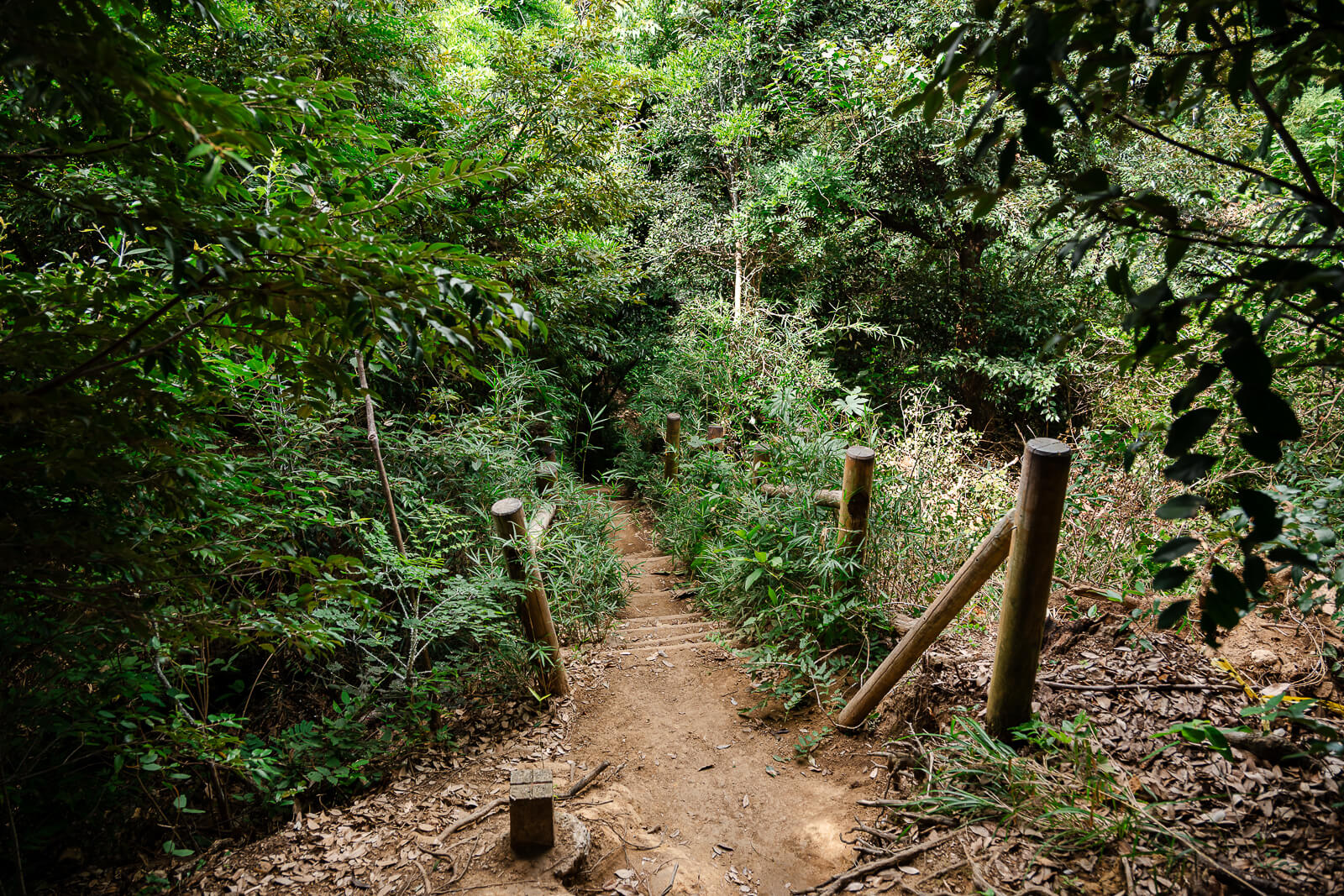
Most visitors begin the Daibutsu Hiking Course near Jōchi-ji, just a short walk from Kita-Kamakura Station. From here, the trail climbs into the wooded hills before generally following a gradual downhill route toward Hase. Although there are several short uphill sections along the way, the overall direction creates a logical route toward Hase before ending with a series of steps that descend to the main road near Kōtoku-in.
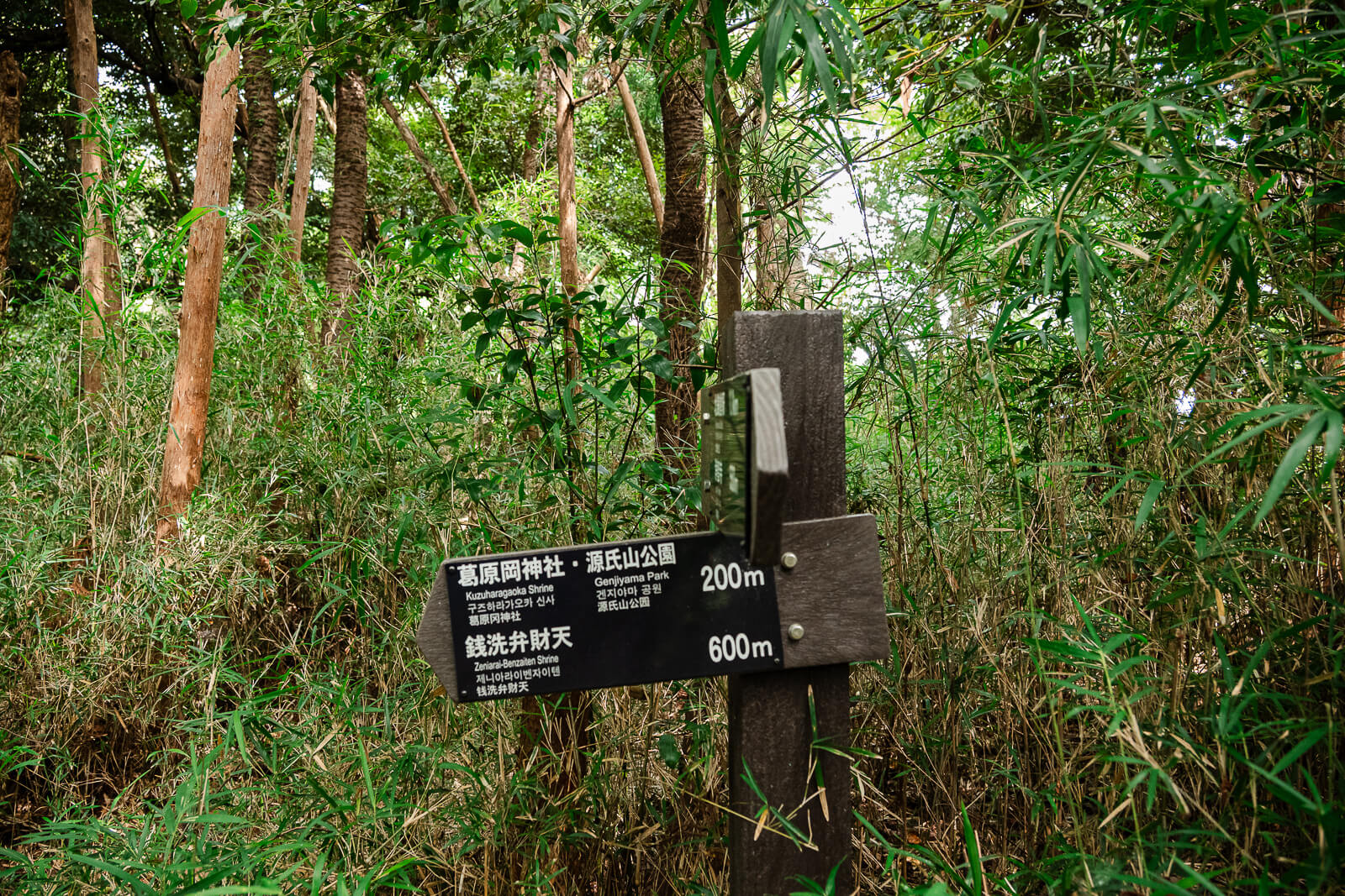
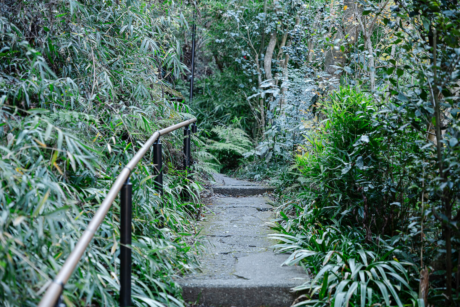
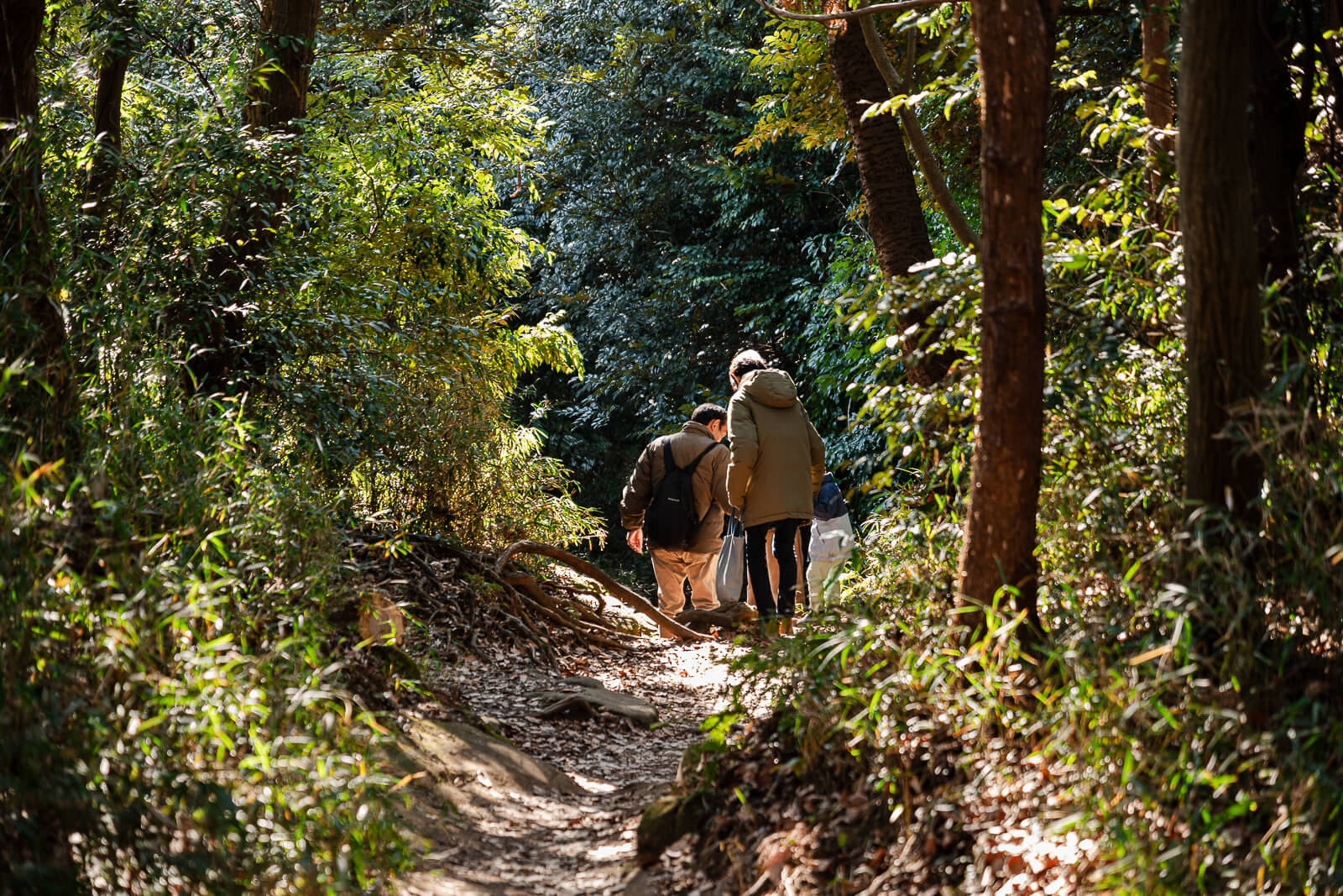
The hiking course is well maintained and clearly marked, making it easy to follow without advanced hiking experience. The path alternates between compact dirt, exposed tree roots, stone steps, and forest trails, with signposts guiding visitors at important junctions. After periods of heavy rain, some sections may become muddy or slippery, but under normal conditions the trail is straightforward for anyone with sturdy walking shoes and a reasonable level of fitness.
It is also helpful to understand that the Daibutsu Hiking Course is separate from Kamakura’s Ten-en Hiking Course, as the two are often confused. The Daibutsu Hiking Course begins near Jōchi-ji and crosses the western hills toward Hase, while the Ten-en Hiking Course starts beyond Kenchō-ji and explores the eastern side of Kamakura. Knowing which trail you intend to walk before arriving at Kita-Kamakura Station will help ensure you start at the correct trailhead and follow the route that best matches your plans for the day.
The Natural Stop and Optional Detours
One of the features that makes the Daibutsu Hiking Course unique is that it offers more than a walk through Kamakura’s forested hills. As the trail crosses the ridge between Kita-Kamakura and Hase, visitors encounter historic sites that can be enjoyed without significantly changing the overall route. Some are natural parts of the hike, while others are easy detours for those with additional time.
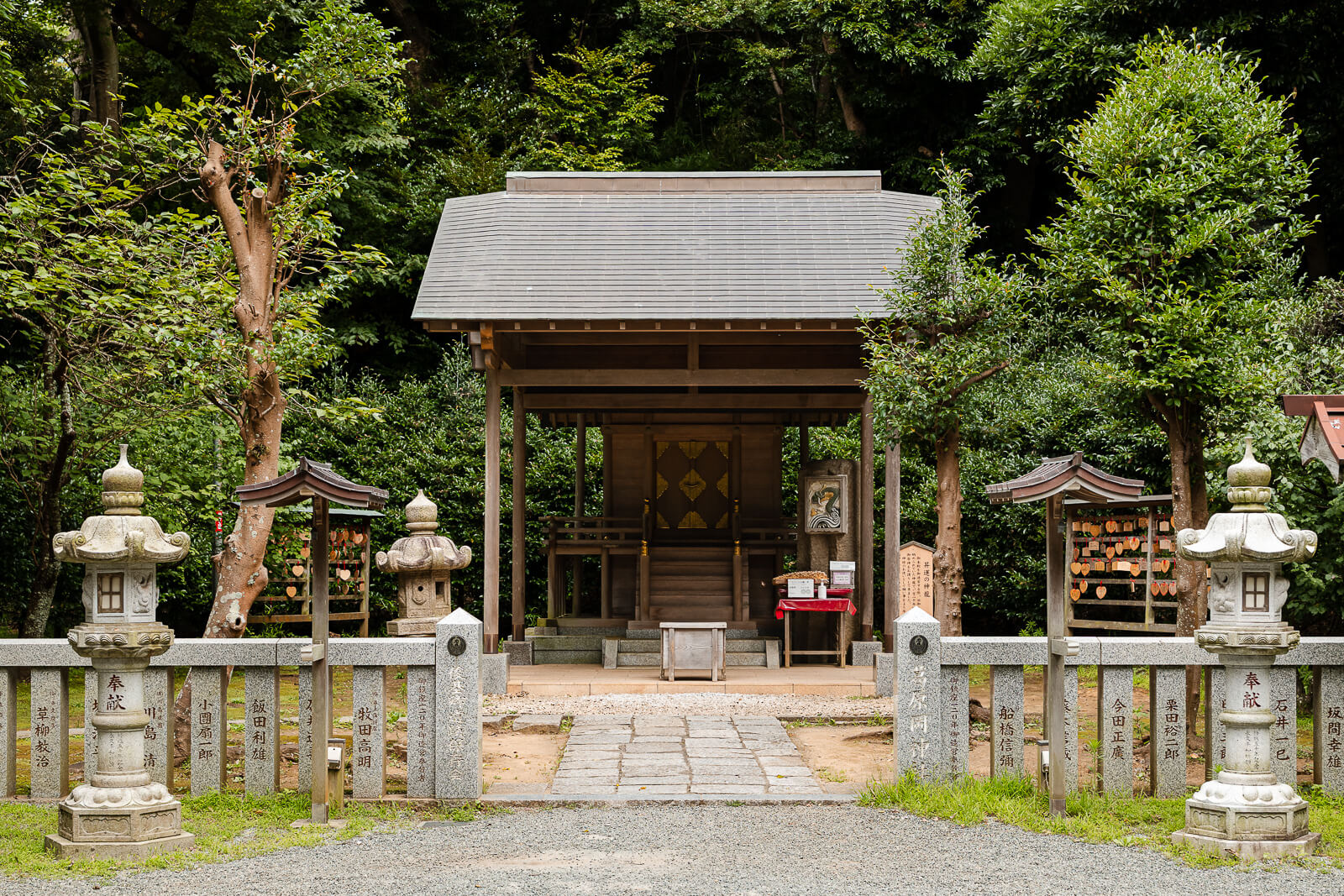
The most notable stop is Kuzuharaoka Shrine, which sits directly on the Daibutsu Hiking Course. Almost everyone walking the trail passes through the shrine grounds, making it a natural stopping point before continuing toward Hase. Public restrooms and vending machines are available here, making it the most convenient place to take a short break before continuing along the trail.
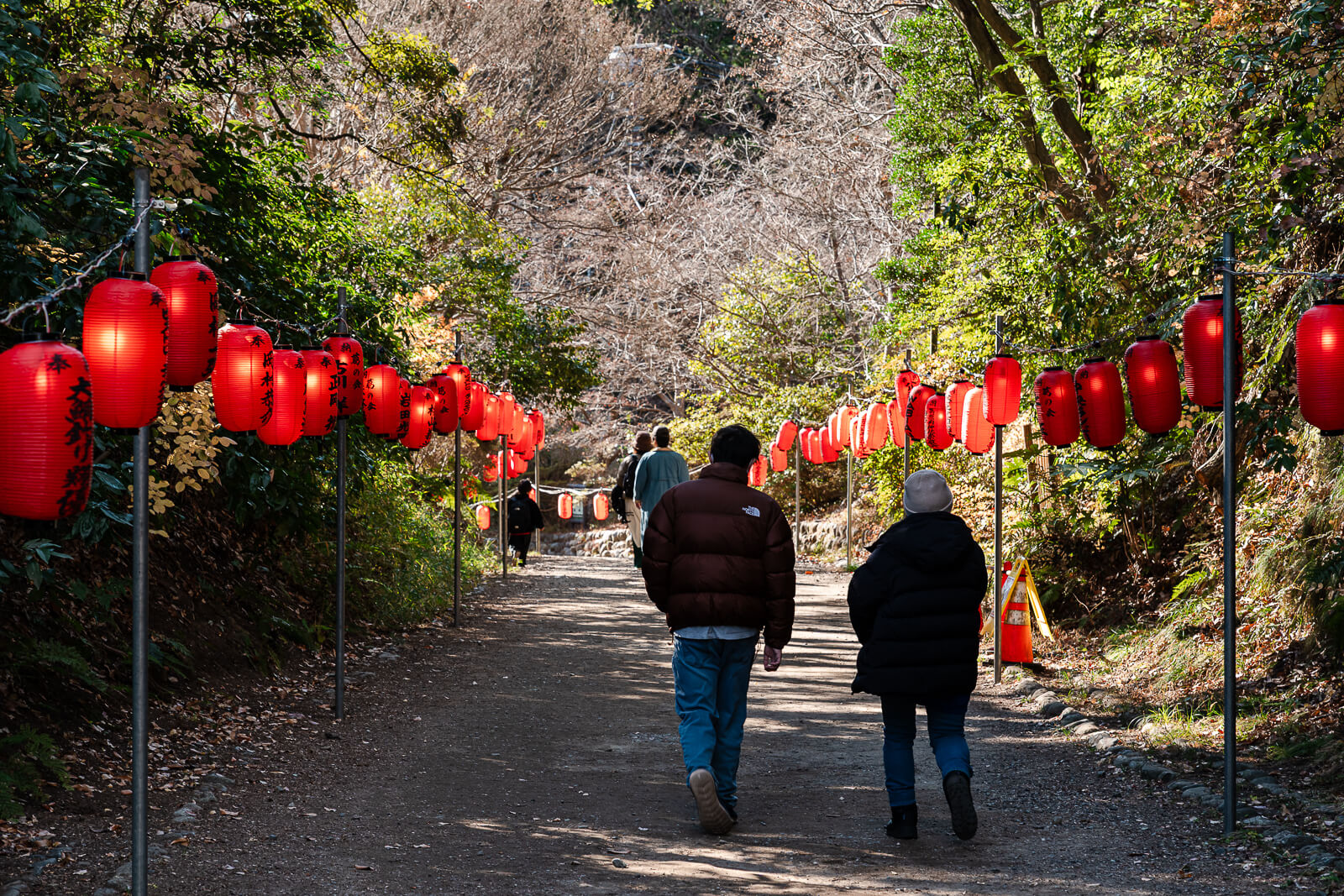

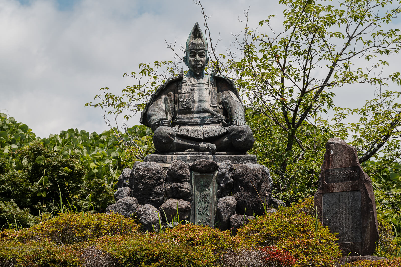
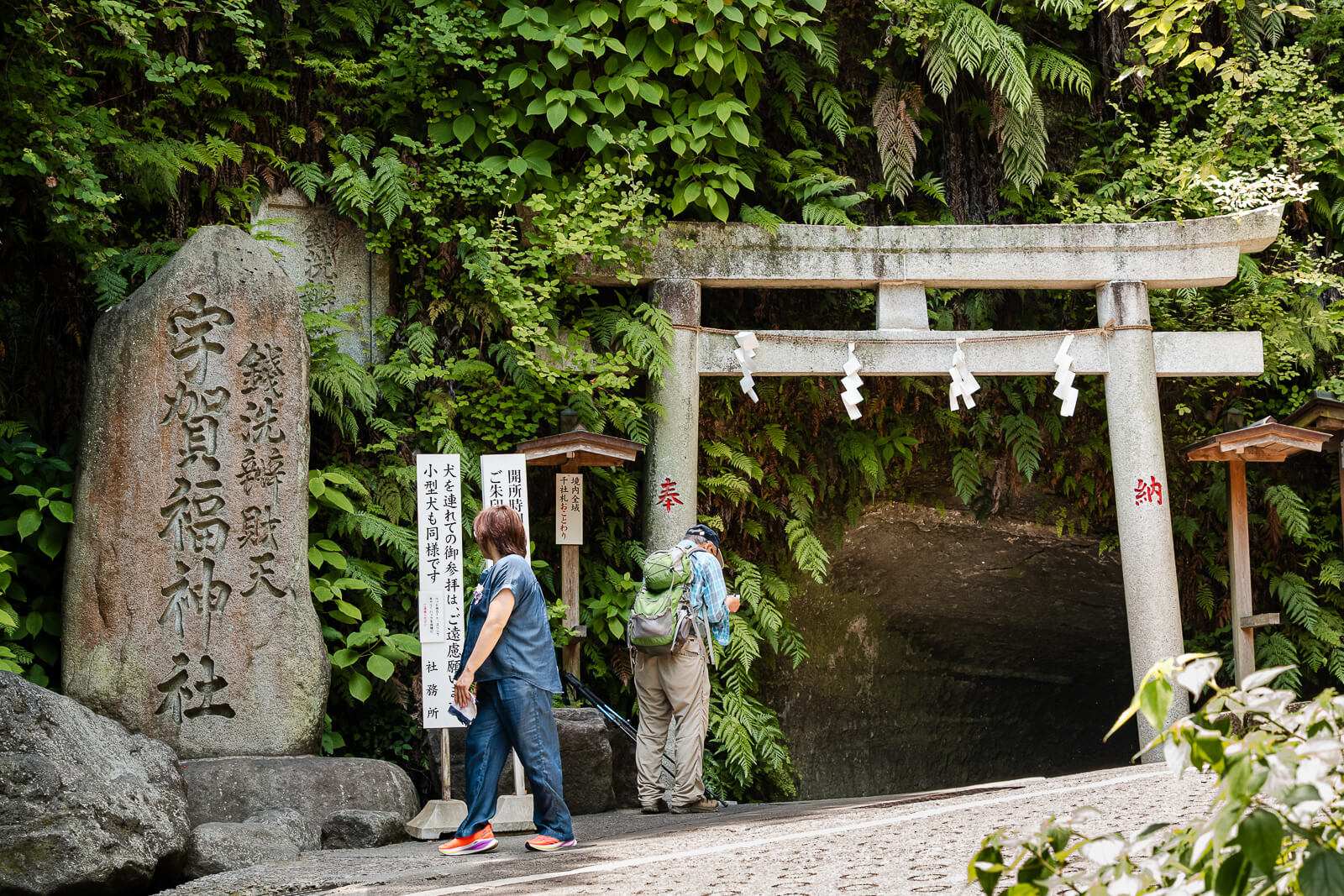
Visitors looking to extend the experience can also leave the main hiking course for two worthwhile side trips. Genjiyama Park is only a short detour away and is known for its spacious lawns, seasonal cherry blossoms, and statue of Minamoto no Yoritomo. Nearby, Zeniarai Benzaiten Ugafuku Shrine is famous for its spring where visitors wash money in the hope of bringing good fortune. Both attractions can be comfortably added before returning to the Daibutsu Hiking Course and continuing the gradual descent toward Kōtoku-in and the Hase district.
How the Daibutsu Hiking Course Fits Into a Kamakura Visit
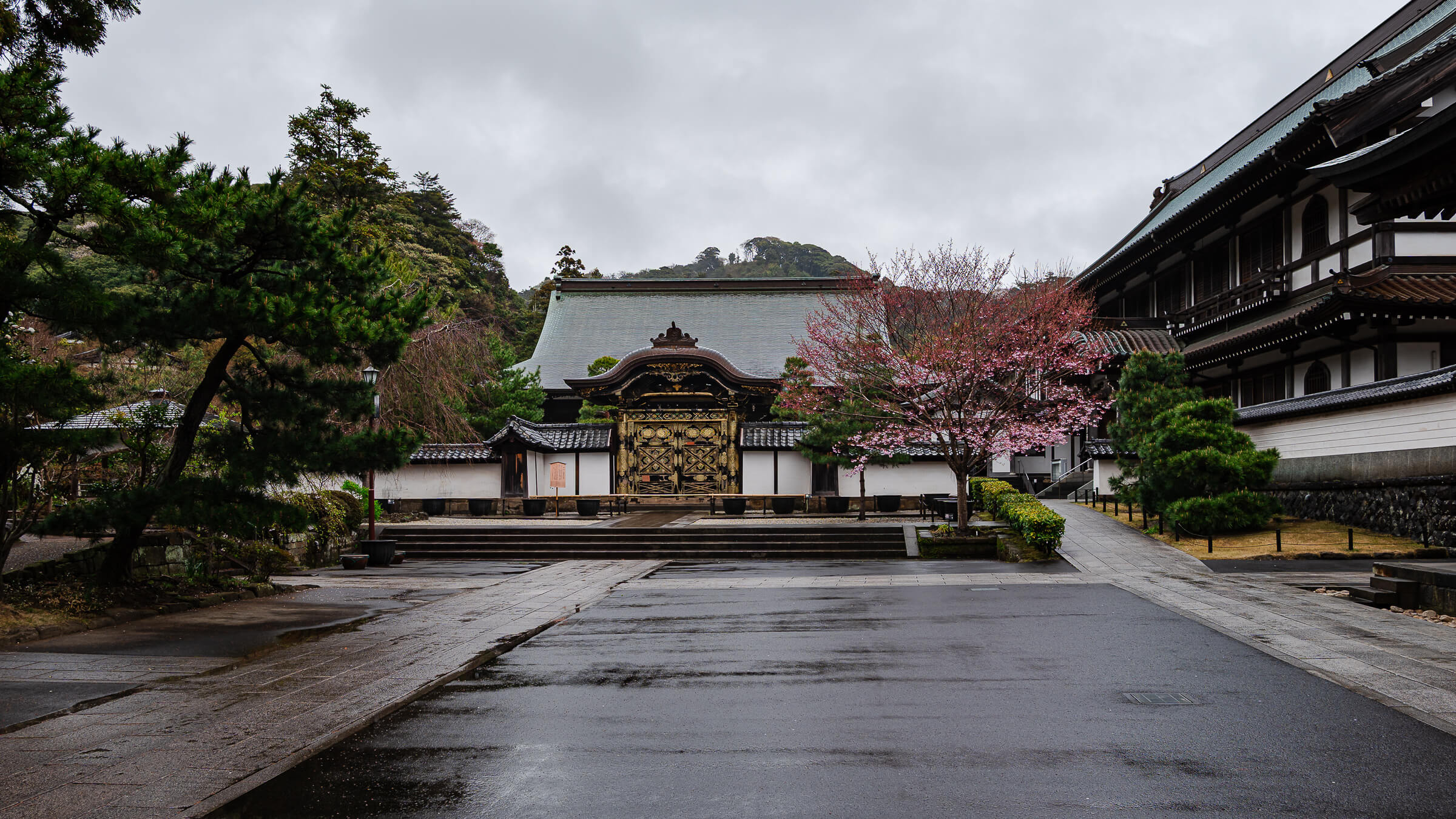
The route works particularly well as part of a north-to-south Kamakura day. Tōkei-ji and Jōchi-ji can be visited after arriving at Kita-Kamakura Station before entering the trail, while the descent into Hase places Kōtoku-in and Hase-dera within easy reach after the hike. This creates a continuous route without needing to return to the starting point.
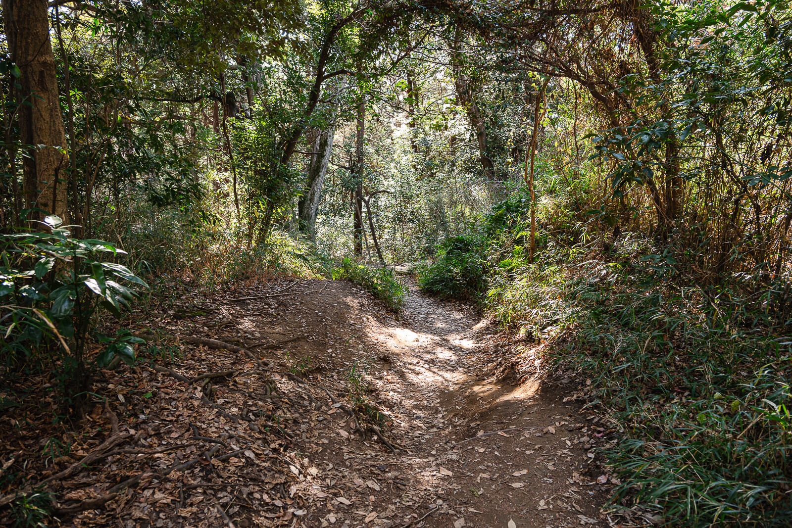
Travelers planning a longer day can use Kuzuharaoka Shrine, Genjiyama Park, and Zeniarai Benzaiten Ugafuku Shrine to extend the middle portion of the route before continuing toward Hase. These stops add flexibility without changing the overall direction of travel, allowing the hiking course to function as either a direct connection between the two districts or the backbone of a longer walking route through western Kamakura.
Once the trail reaches Hase, the day can continue beyond the Great Buddha and Hase-dera rather than ending with the hike itself. Hase Station provides an easy connection along the Enoden Line, while travelers continuing on foot can explore more of the surrounding district or work their way back toward central Kamakura. This makes the hiking course easy to incorporate into a broader day without requiring a separate trip solely for the trail.
Practical Tips Before You Go
Sturdy walking shoes are recommended, particularly after rain when dirt sections, exposed roots, and stone surfaces can become slippery. The course does not require technical hiking equipment, but footwear with reasonable grip is useful on the uneven sections and during the stepped descent toward Hase.
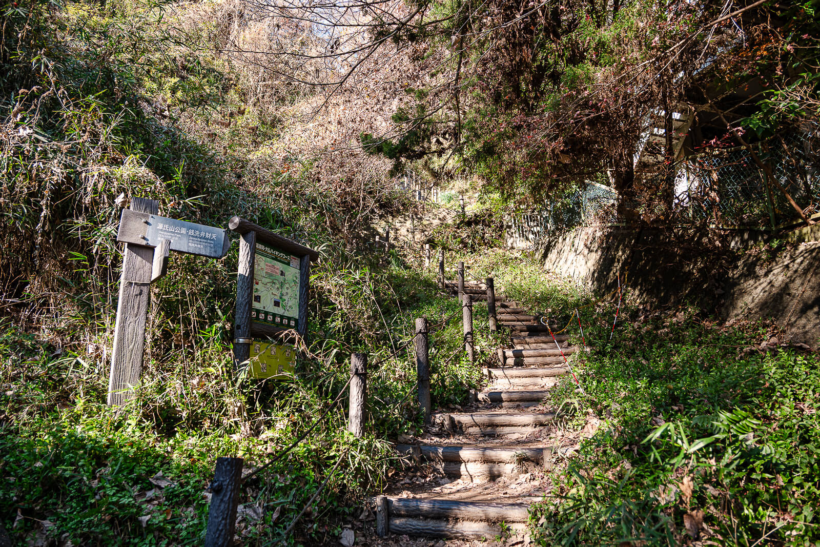
Carrying water is advisable during warmer months, especially through the longer forested sections of the route. Drinks and public restrooms are available at Kuzuharaoka Shrine, making it the most convenient place for a break before continuing toward Hase. There are fewer facilities once back inside the wooded sections of the trail.
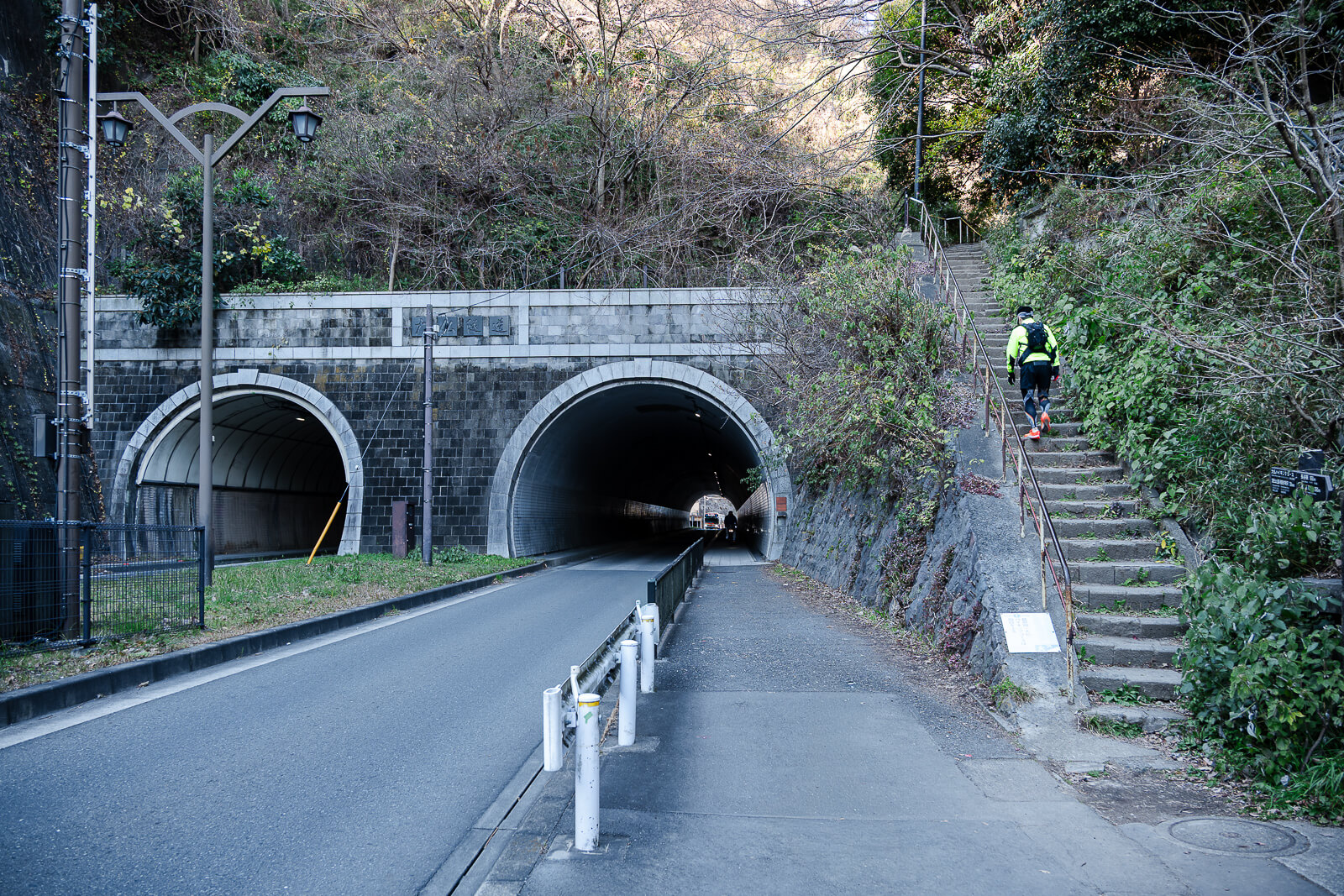
Allow additional time when including Genjiyama Park or Zeniarai Benzaiten Ugafuku Shrine, particularly when the hike is combined with temple visits at either end. The trail itself is manageable within a few hours, but a route beginning with Tōkei-ji and Jōchi-ji and finishing around Kōtoku-in and Hase-dera can easily develop into a full day in Kamakura.
Getting There
Most visitors begin the Daibutsu Hiking Course from Kita-Kamakura Station, which is around a five-minute walk from the trail entrance near Jōchi-ji. Starting from the northern end allows the route to follow its natural downhill direction toward Hase while making it easy to visit Tōkei-ji and Jōchi-ji before entering the forest. This is the recommended direction for most first-time visitors because it creates a logical progression through Kamakura’s historic districts without requiring you to retrace your steps.
The trail finishes near Kōtoku-in in the Hase district, placing you within a short walk of Hase-dera, Hase Station on the Enoden Line, restaurants, cafés, and local shops. Whether you decide to end your visit there, continue exploring Hase, or return to Kamakura Station, public transportation is readily available once you leave the hiking course.
Hours & Fees
Daibutsu Hiking Course: Open access; hike during daylight hours.
Kuzuharaoka Shrine: Shrine grounds are accessible along the hiking route.
Kōtoku-in (Great Buddha): 8:00–17:30 (Apr–Sep); 8:00–17:00 (Oct–Mar). Last admission 15 minutes before closing. Great Buddha interior: 8:00–16:30.
Hase-dera: 8:00–17:30 (Apr–Jun; last admission 17:00); 8:00–17:00 (Jul–Mar; last admission 16:30).
Daibutsu Hiking Course: Free.
Kuzuharaoka Shrine: Free.
Kōtoku-in (Great Buddha): ¥300 adults; ¥150 children ages 6–12. Great Buddha interior: additional ¥50.
Hase-dera: ¥400 adults; ¥200 children ages 6–11.
Plan your start time around Kōtoku-in and Hase-dera if you intend to visit them after the hike. Both close in the late afternoon, and optional stops along the course can significantly extend the walk.
Confirm current visitor information with the official source above before your trip.
Plan Your Kamakura Hiking Day
Turn the Daibutsu Hiking Course into part of a wider Kamakura trip with places to stay, rail planning, local experiences, and travel essentials for exploring Japan.
Make More Time for Kamakura
Stay locally to combine Kita-Kamakura, the hiking courses, Hase, and central Kamakura without building the entire day around the return trip to Tokyo.
Find Kamakura Hotels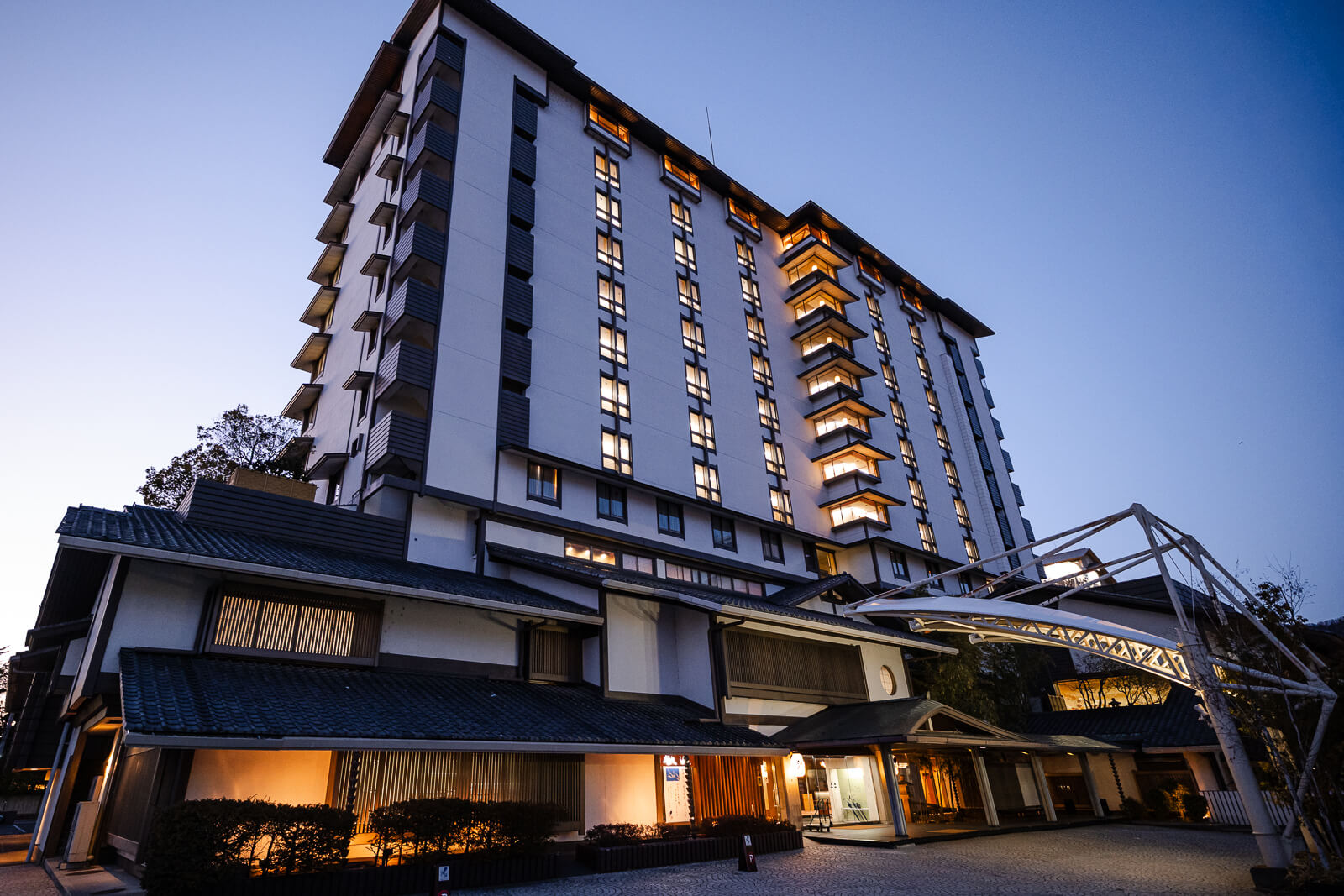
Get to Kamakura by Train
Kita-Kamakura Station provides access to the northern end of the route, while the Enoden from Hase makes it easy to continue through Kamakura after the hike.
Check Japan Rail Options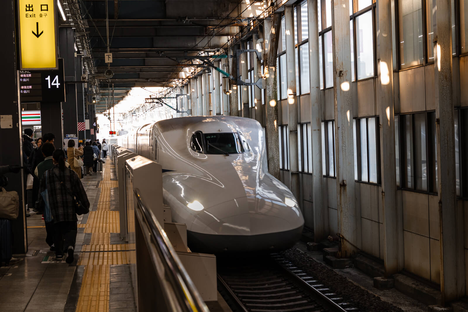
See More Around Kamakura
Browse guided walks, cultural experiences, and local tours that can add another side of Kamakura before or after exploring the hiking course independently.
Browse Kamakura Experiences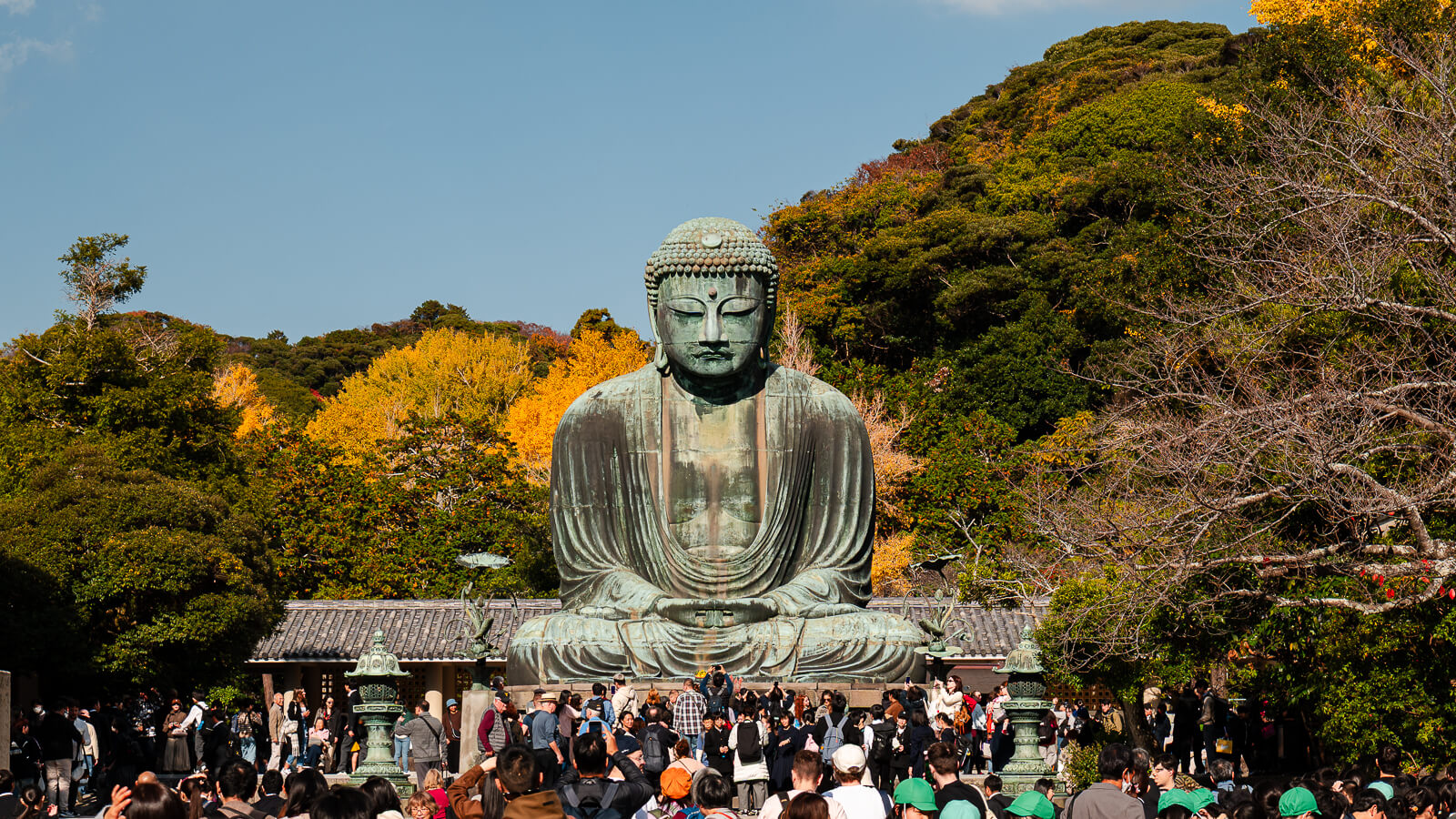
Keep Maps and Trains Within Reach
Mobile data helps with trail orientation, maps, train connections, opening hours, and last-minute planning while moving between Kita-Kamakura and Hase.
Compare Japan eSIMs
Reader note: Japan Unfolded may earn a commission from some links at no extra cost to you.