The Full Ten-en Route Through the Kamakura Alps
The full Ten-en Hiking Course crosses approximately five kilometers of the Kamakura Alps from Kenchō-ji to the Zuisen-ji trail entrance. The route climbs through Hansōbō to Shōjōken Observatory before continuing past Jūō-iwa, Mt. Ōhira, the Ten-en summit area, and Kaifuki Jizō. Hikers then descend toward Zuisen-ji in Kamakura’s eastern Nikaidō district.
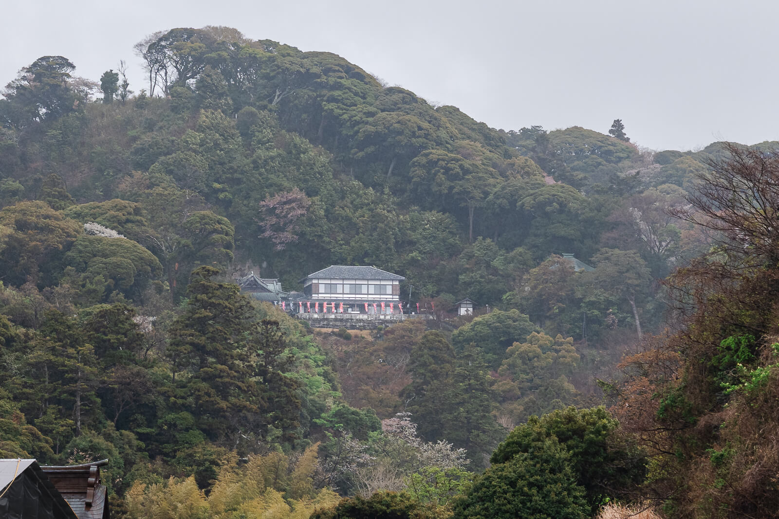
The most demanding ascent comes at the beginning, where hundreds of steps connect Kenchō-ji with Hansōbō and the upper viewpoint. The ridge that follows still includes exposed roots, uneven rock, narrow passages, and repeated changes in elevation. Mt. Ōhira reaches 159.2 meters and marks both the highest point on the course and the highest natural point in Kamakura.
The official hiking time is approximately two and a half hours, but can extend longer when including viewpoints, photographs, rest stops, and difficult terrain. Time spent exploring Kenchō-ji or visiting Zuisen-ji should be calculated separately. Continuing through Kamakuragū, Tsurugaoka Hachimangū, and Komachi-dōri can turn the hike into a full one-way day ending at Kamakura Station.
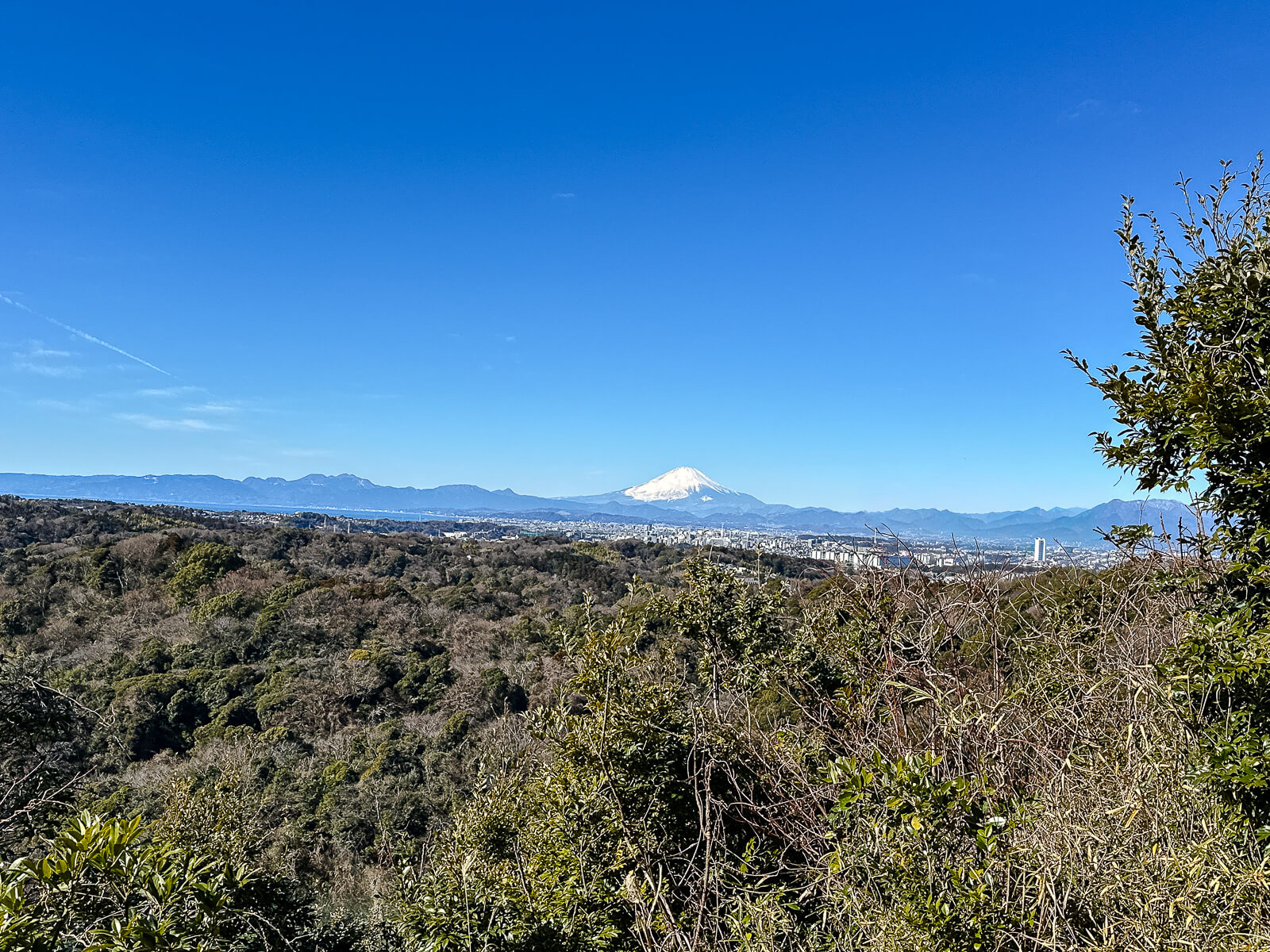
This route fits travelers who want a substantial forest hike combined with temples, historical features, and elevated views across Kamakura and Sagami Bay. Supportive footwear and reasonable fitness are necessary, especially after rain or during summer heat. Completing the route from Kenchō-ji to Zuisen-ji also avoids backtracking and creates a natural progression from Kita-Kamakura into the city center.
Beginning Inside Kenchō-ji
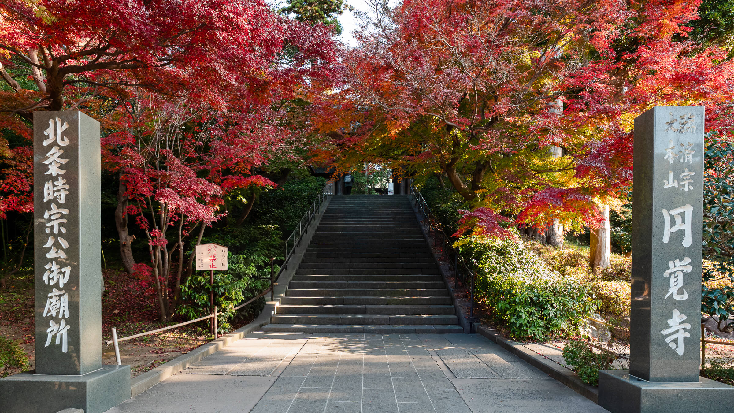
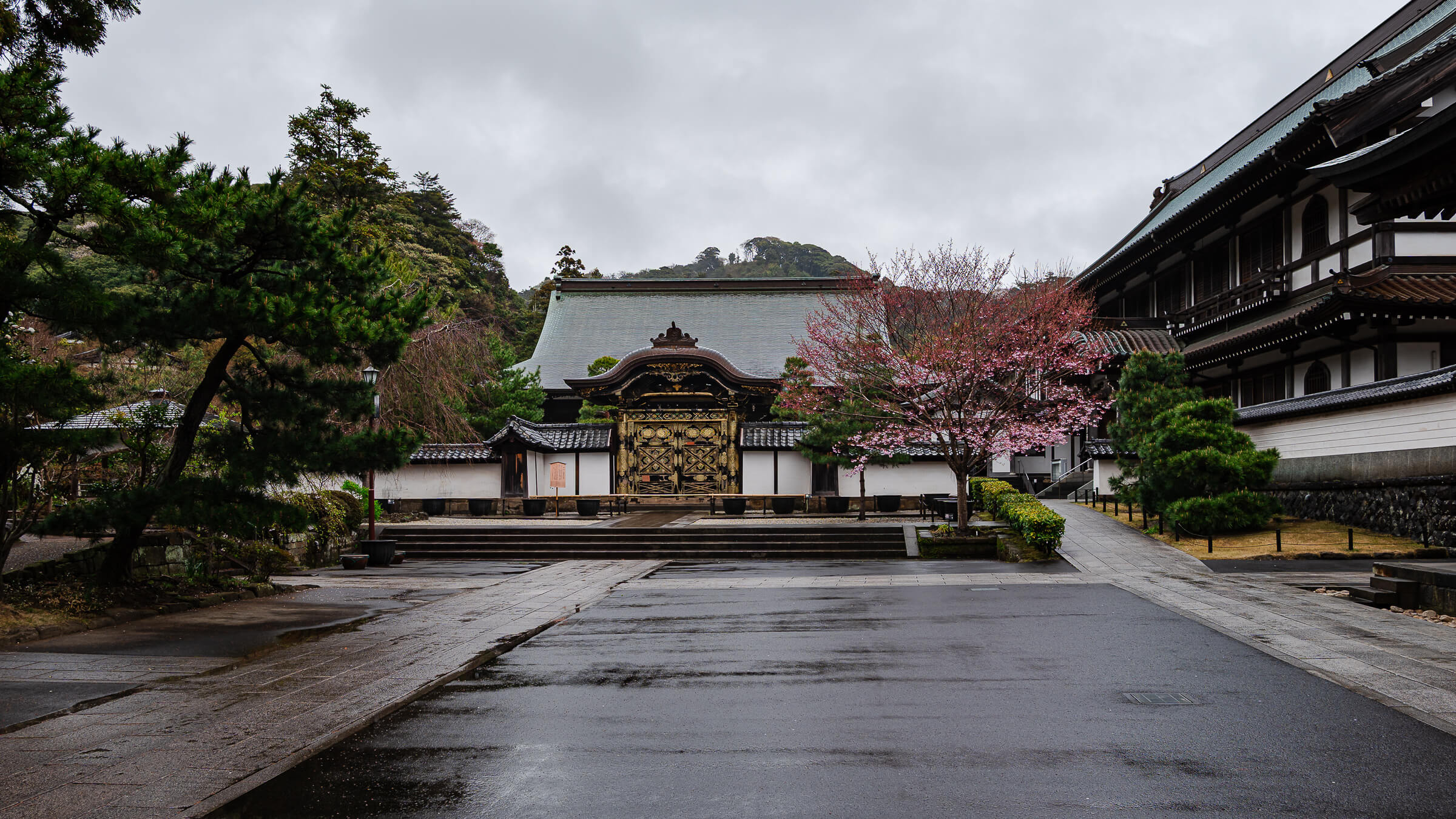
The Ten-en Hiking Course begins inside the paid grounds of Kenchō-ji, with no separate entrance that bypasses the temple complex. Hikers enter through the main admission gate and follow the route past the Sanmon, Butsuden, Hatto, and other major buildings. Signs toward Hansōbō lead deeper into the grounds and eventually to the hillside behind the temple.
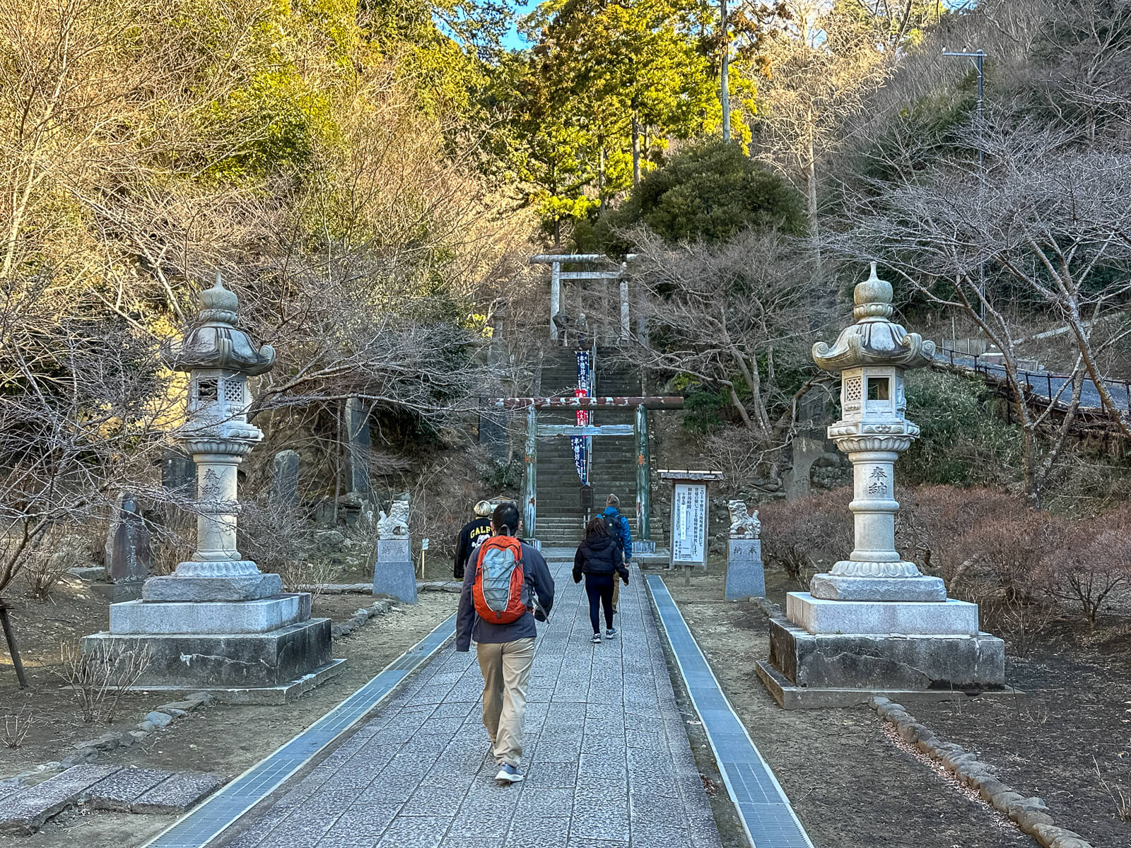
Visitors can either move directly toward the trail or explore Kenchō-ji before beginning the climb. Allowing 60 to 90 minutes provides time to see the principal buildings, garden, and historical features without rushing. The Kenchō-ji Temple guide covers the full complex for travelers planning a more complete visit.
The paved approach rises gradually beyond the central temple area before reaching the stairway to Hansōbō. Restrooms and vending machines should be used before continuing because facilities are unavailable along the natural ridge. From this point, the temple visit transitions into the steepest sustained climb of the Ten-en course.
Climbing Through Hansōbō to Shōjōken Observatory
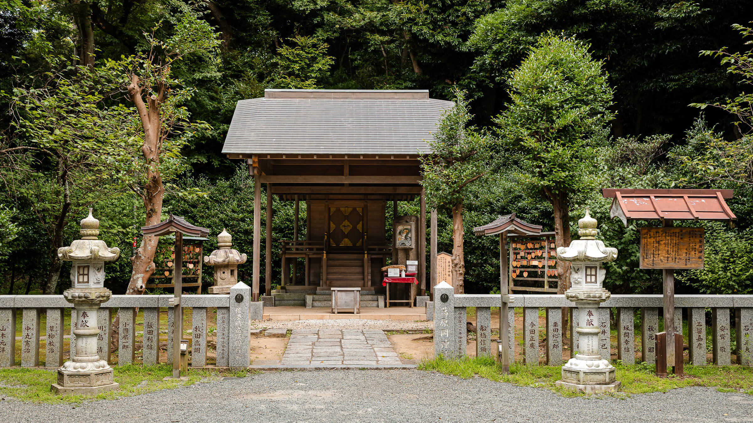
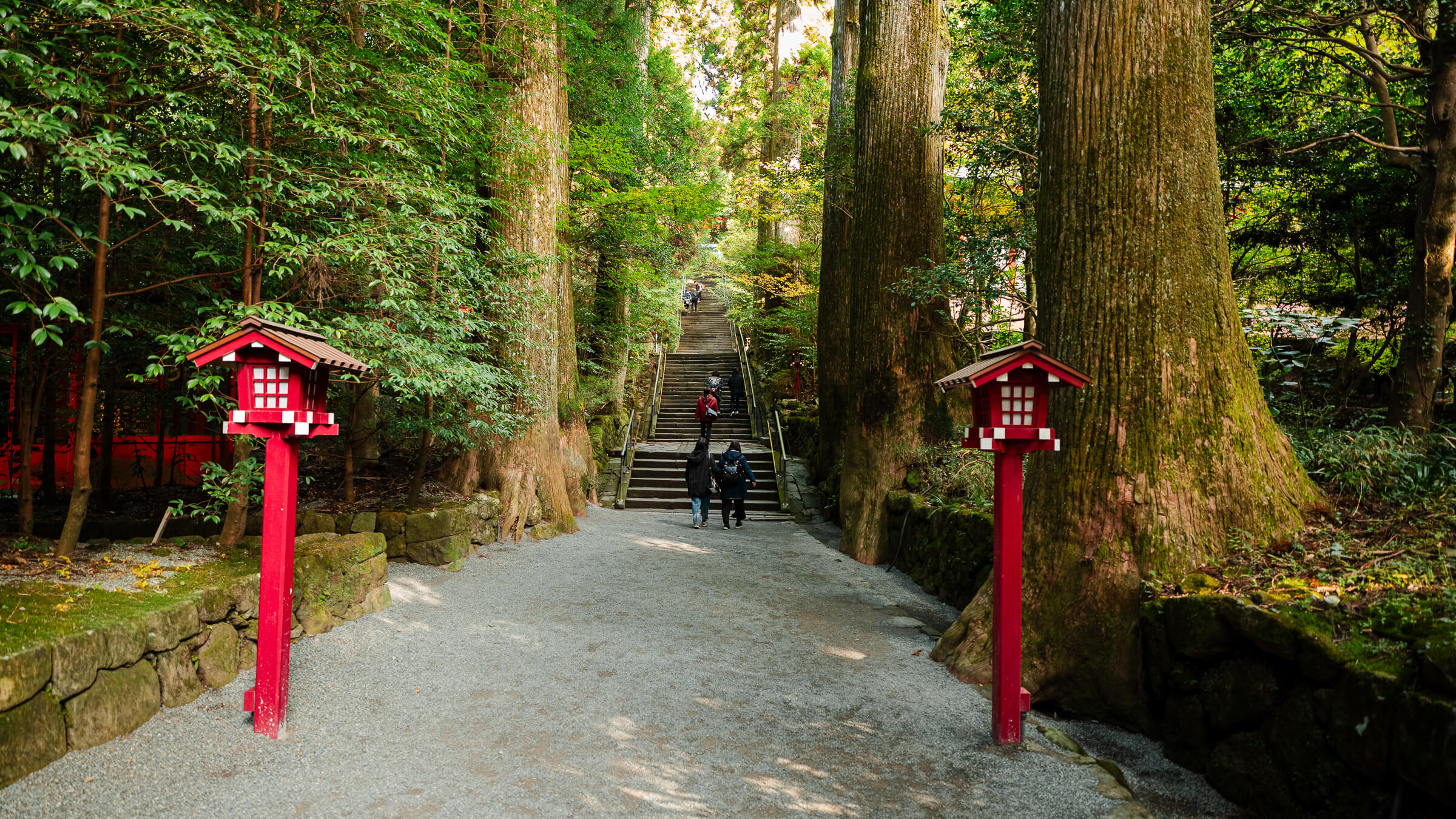
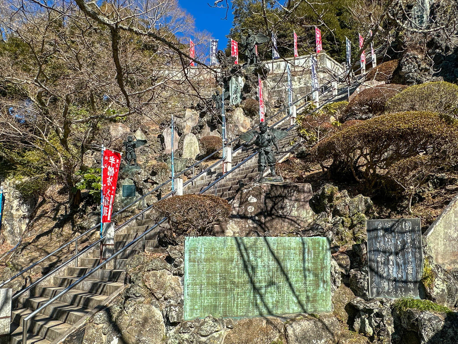
The climb to Hansōbō follows a long staircase through the wooded hillside behind Kenchō-ji. Tengu statues line the upper approach, reflecting the shrine’s association with Hansōbō Daigongen. Several landings provide places to rest and look back toward the temple complex below.
Hansōbō is a natural stopping point before the final ascent to the ridge. Views open across Kamakura’s surrounding hills, while the shrine buildings occupy several levels of the slope. The route then continues above the shrine on another steep series of stairs toward Shōjōken Observatory.
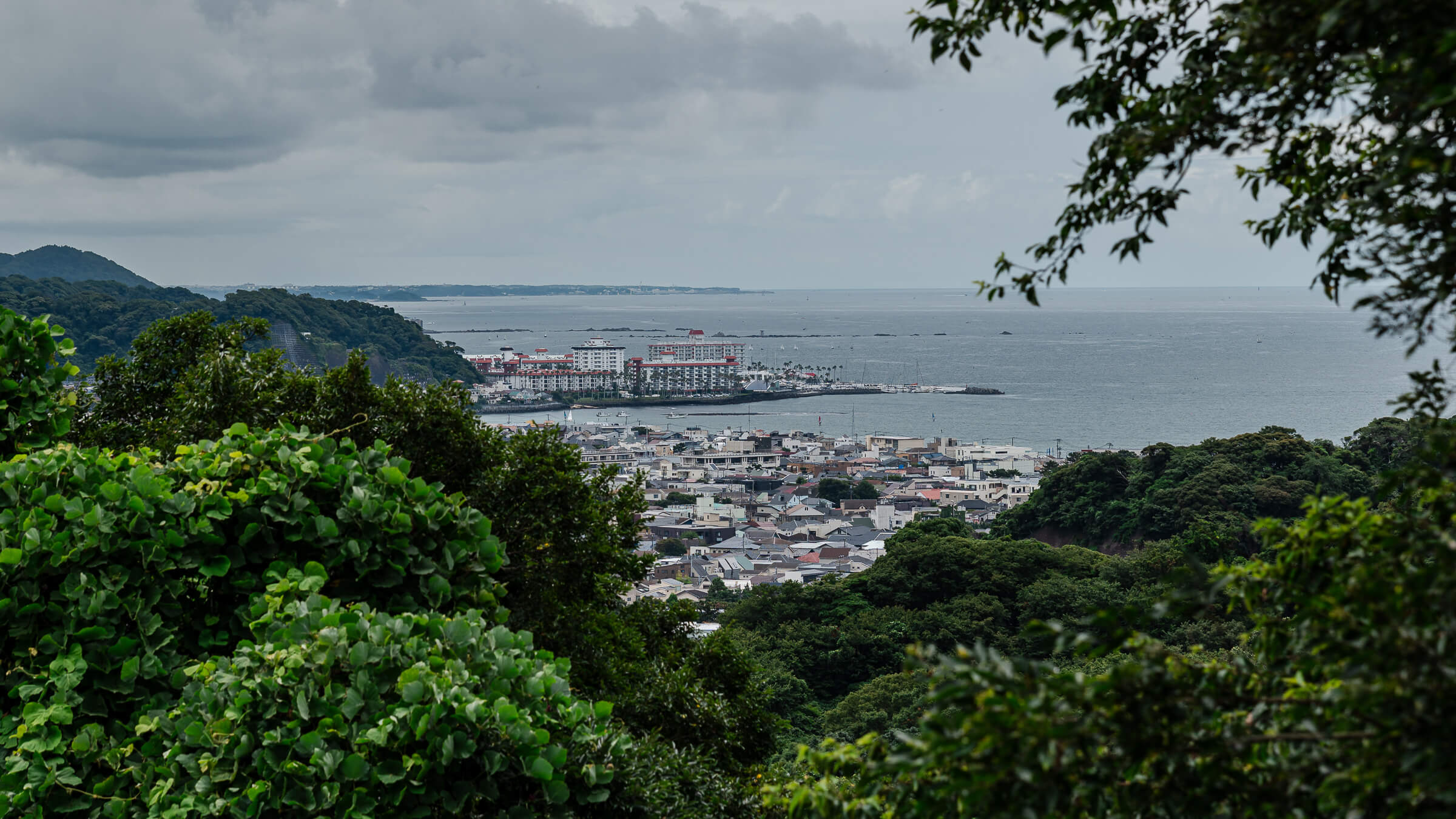
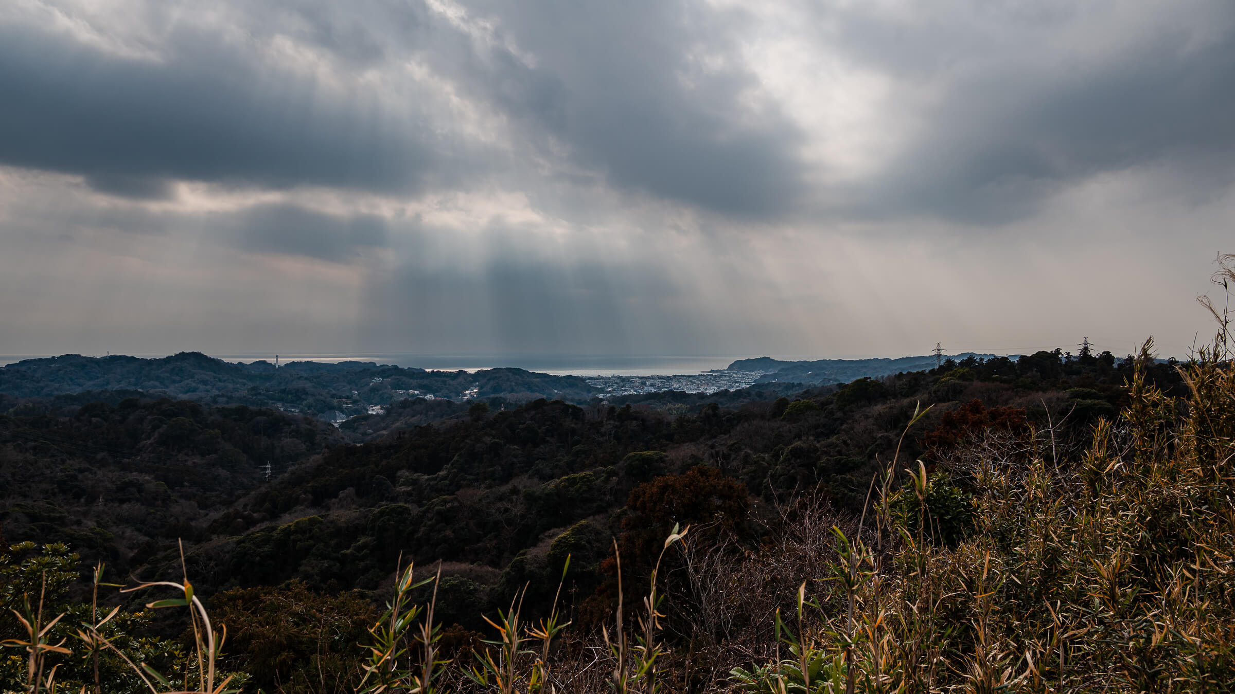
The observatory provides broad views across central Kamakura and toward Sagami Bay when conditions are clear. Mount Fuji may also be visible in the distance on days with favorable visibility. Beyond the viewpoint, the developed stairways transition into exposed rock, roots, and compacted soil as the course enters the Kamakura Alps.
Following the Ridge Past Jūō-iwa
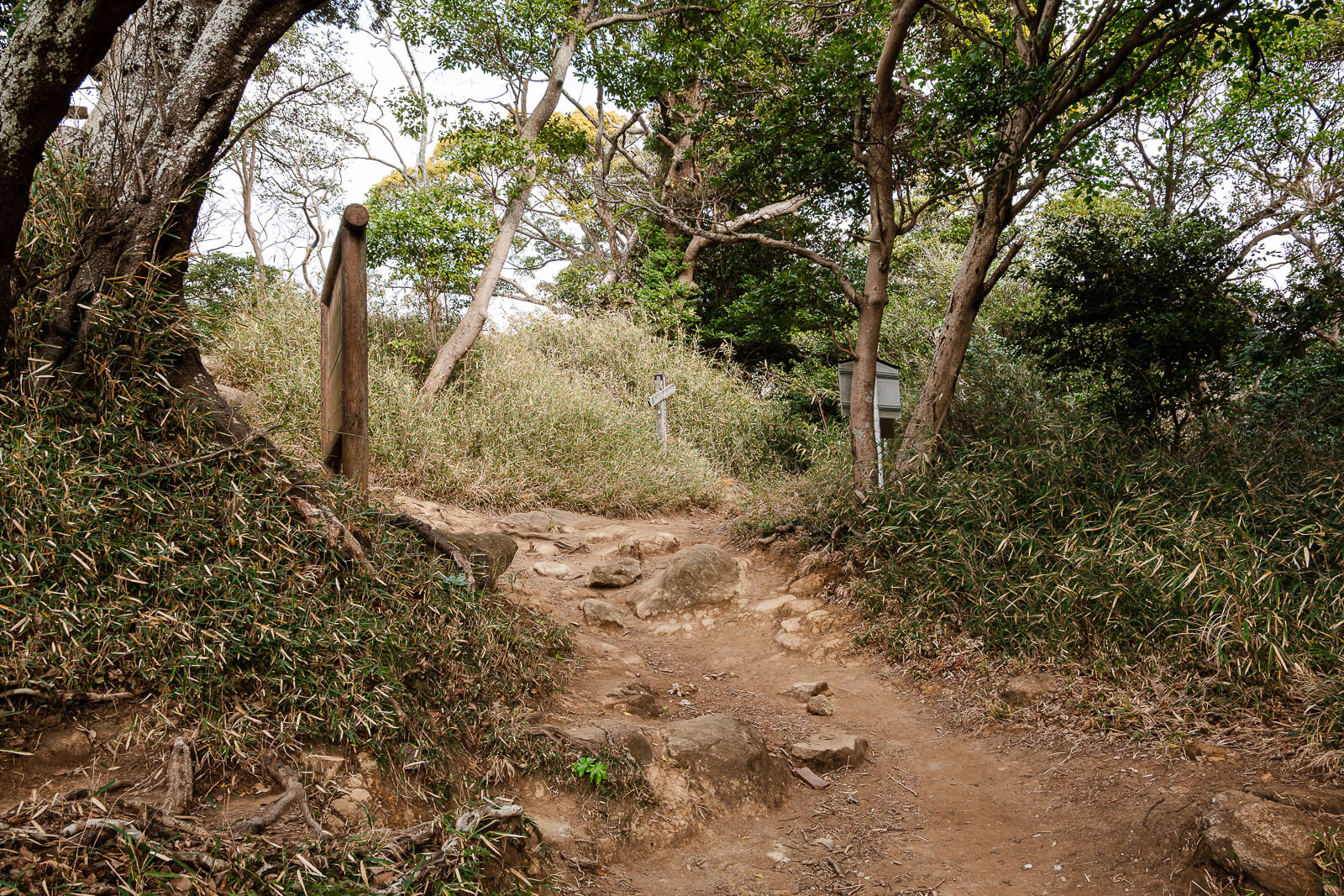
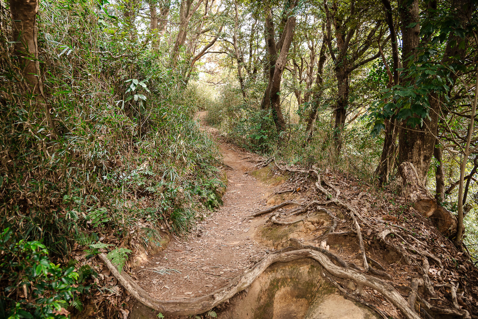
Beyond Shōjōken Observatory, the course follows a wooded ridge across exposed roots, worn rock, and compacted soil. Short climbs and descents continue as the trail narrows between trees and rocky slopes. The terrain requires steady footing even where the overall elevation changes appear minor.
Jūō-iwa is a rocky landmark with weathered Buddhist images associated with the Ten Kings who judge the dead in Buddhist belief. An opening near the rocks provides a broad view across central Kamakura toward Sagami Bay. Wakamiya Ōji and the city’s central districts can be identified below when visibility is clear.
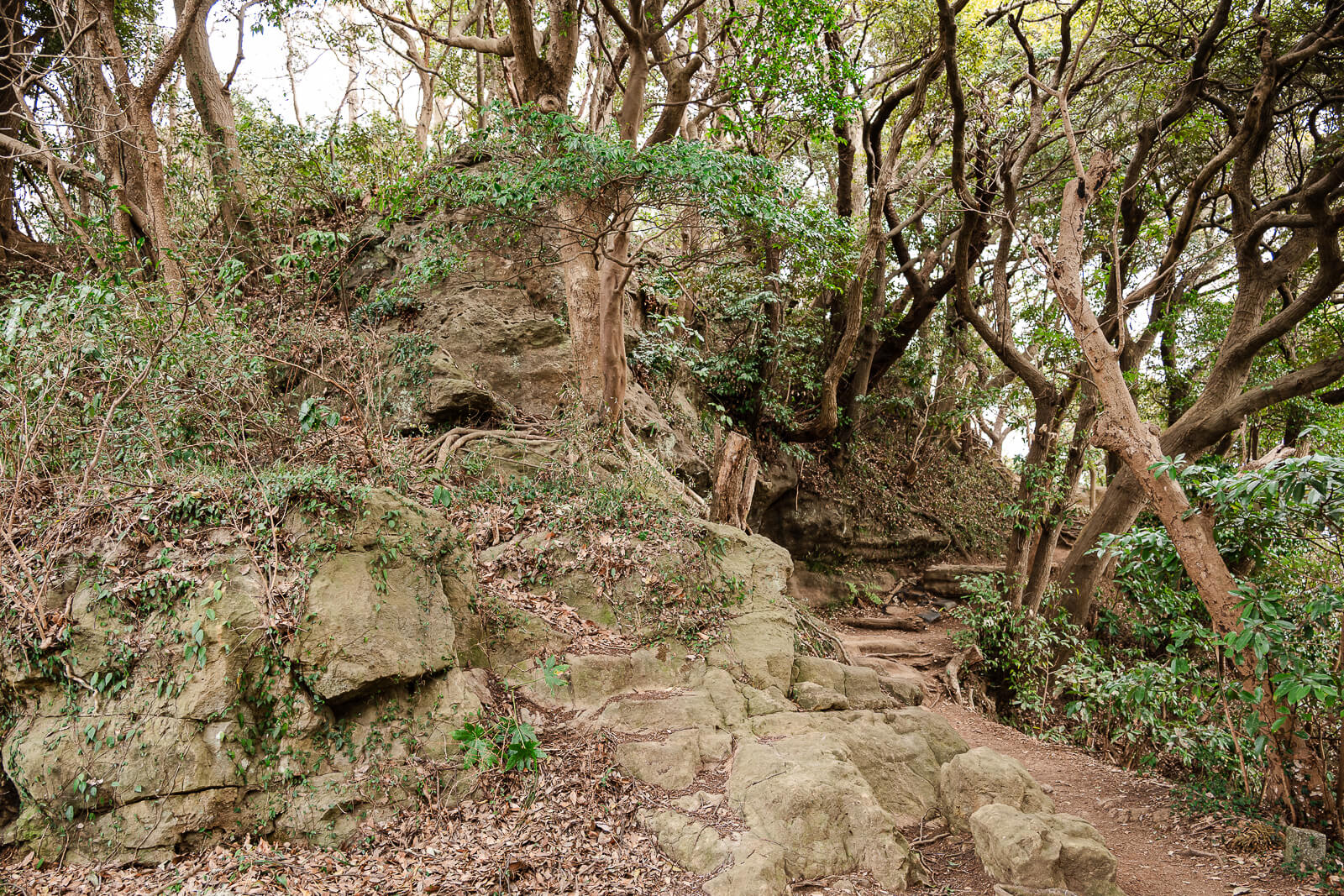
The trail continues east from Jūō-iwa toward the junction leading to Kakuon-ji and the Hyakuhachi Yagura. Directional signs should be checked carefully because several paths connect with the surrounding hills. Hikers completing the full Ten-en course remain on the ridge toward Mt. Ōhira and Zuisen-ji.
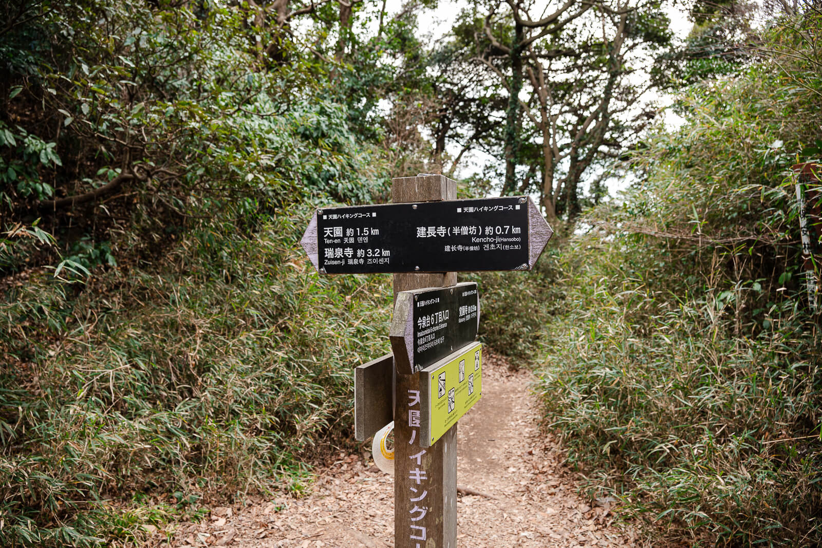
The Kakuon-ji Junction and Hyakuhachi Yagura
Approximately 20 minutes beyond Jūō-iwa, the course reaches the Imaizumidai trail junction. The main Ten-en route continues toward Mt. Ōhira and Zuisen-ji, while a separate branch descends toward the Kakuon-ji trail entrance. Hikers should check the signs carefully before leaving the junction.
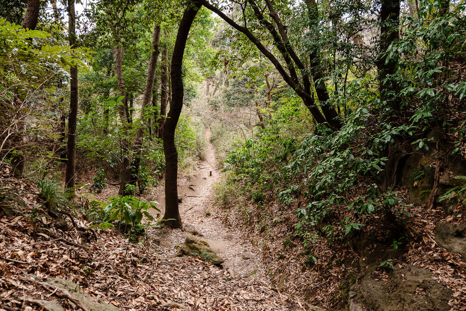
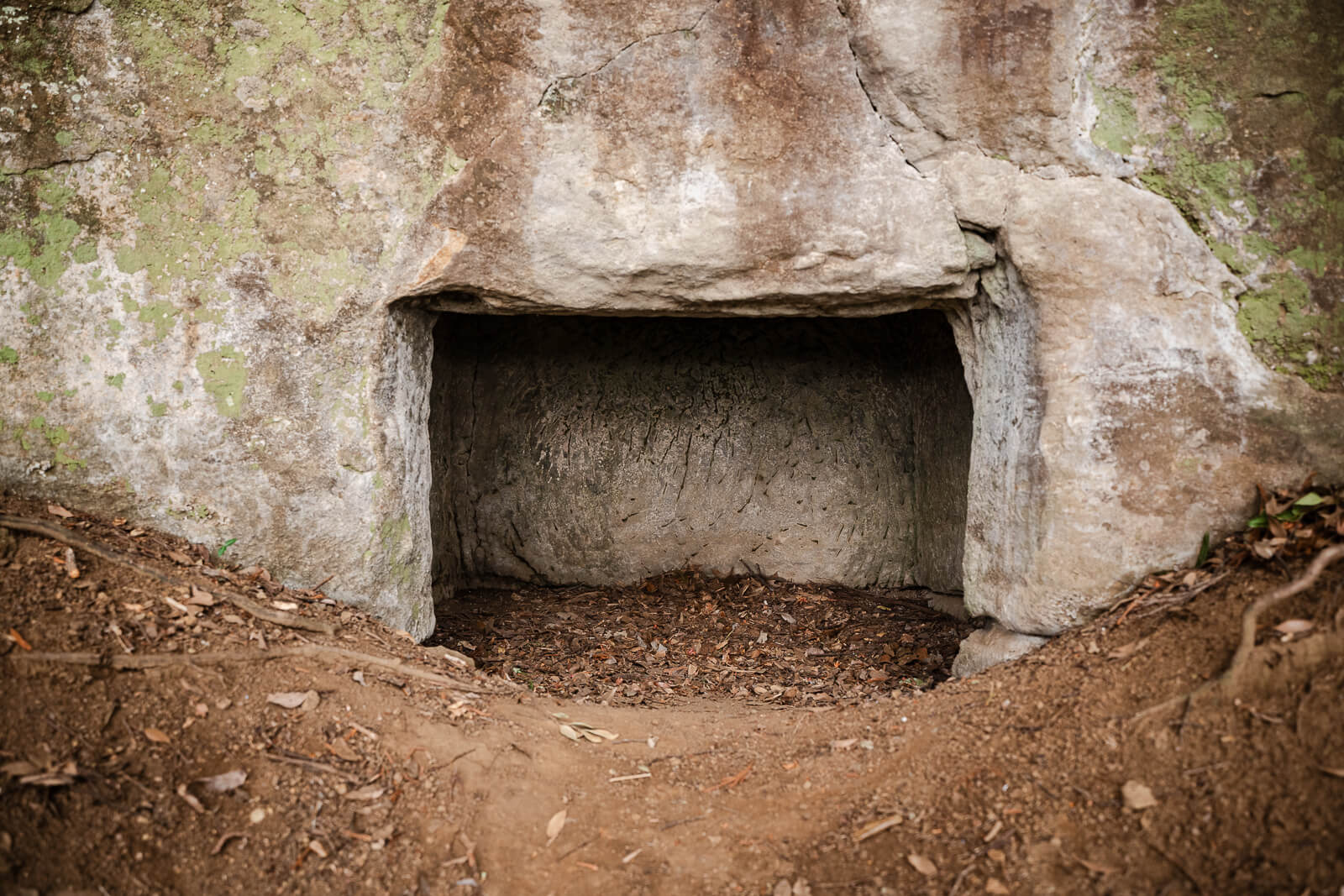
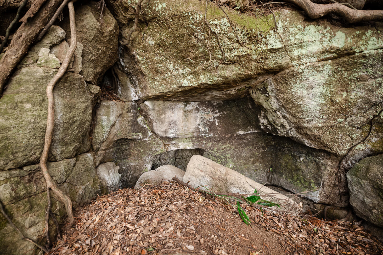
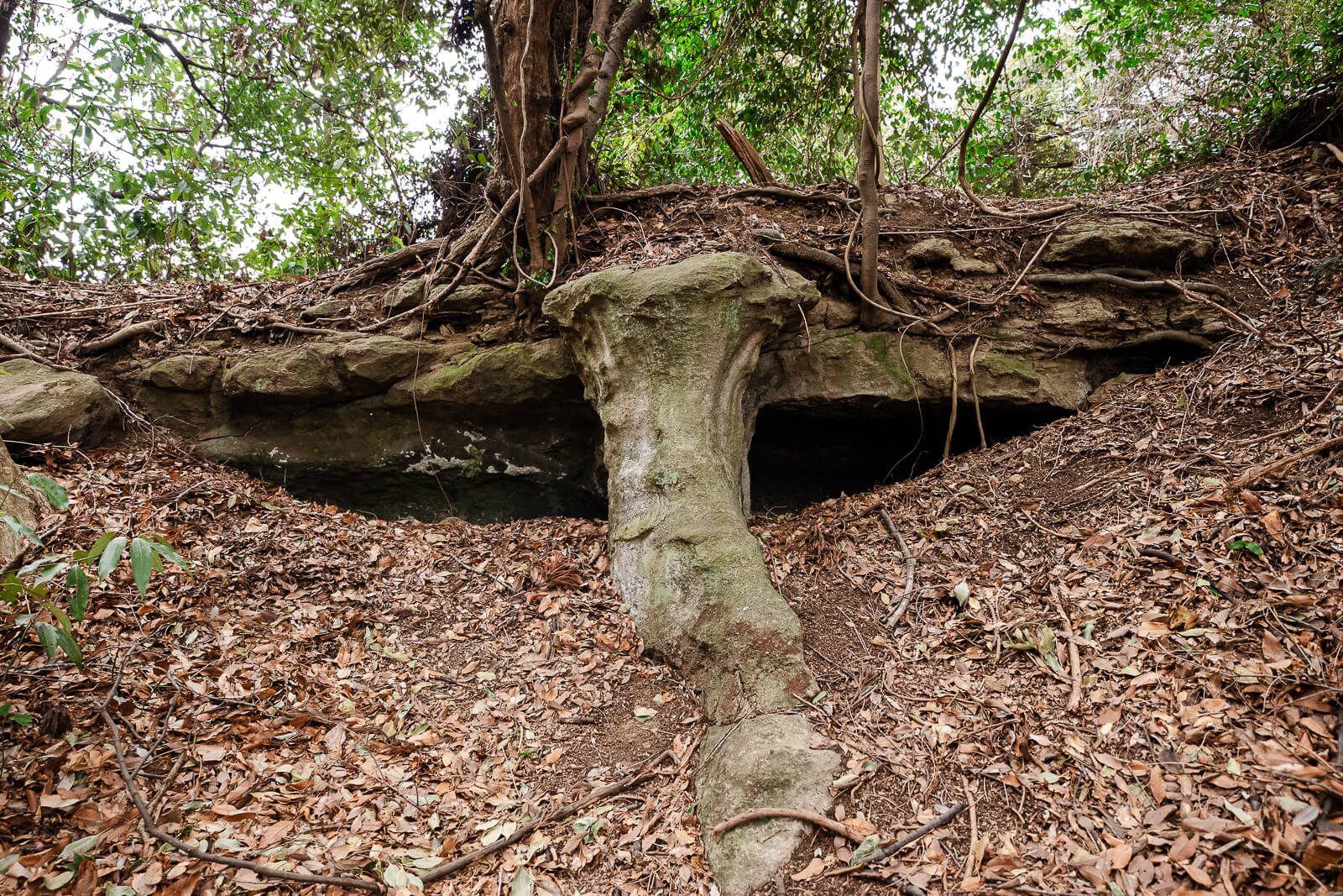
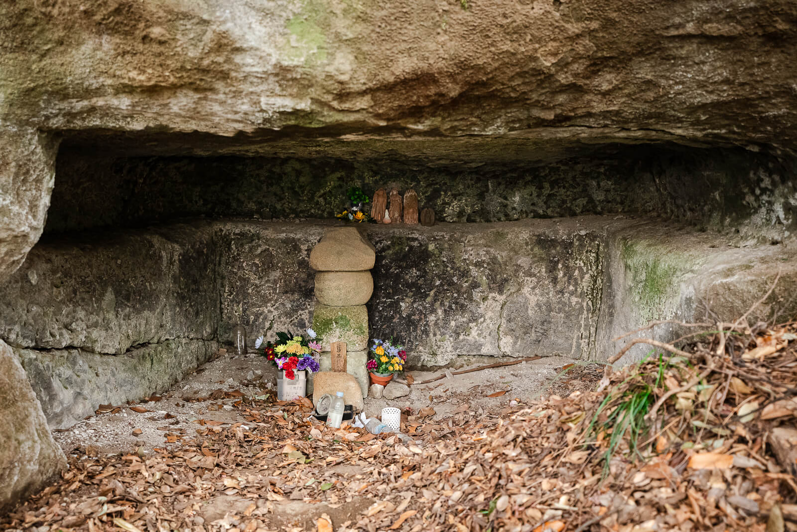
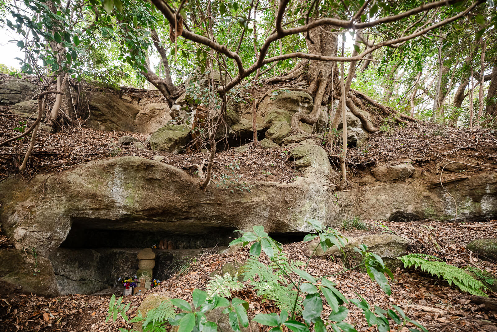
The Kakuon-ji branch passes the Hyakuhachi Yagura, a large group of medieval burial caves carved into the hillside. Some chambers contain stone memorials, Buddhist images, and five-ringed stupas, while others appear as weathered openings among the trees. These caves demonstrate how Kamakura’s surrounding hills were used for burial and remembrance.
The Hyakuhachi Yagura are not directly on the full route to Zuisen-ji. Visiting them requires following the Kakuon-ji branch and then returning to the junction before continuing toward Mt. Ōhira. Hikers who remain on the main ridge will pass the turnoff without descending through the burial-cave area.
Continuing Toward Mt. Ōhira
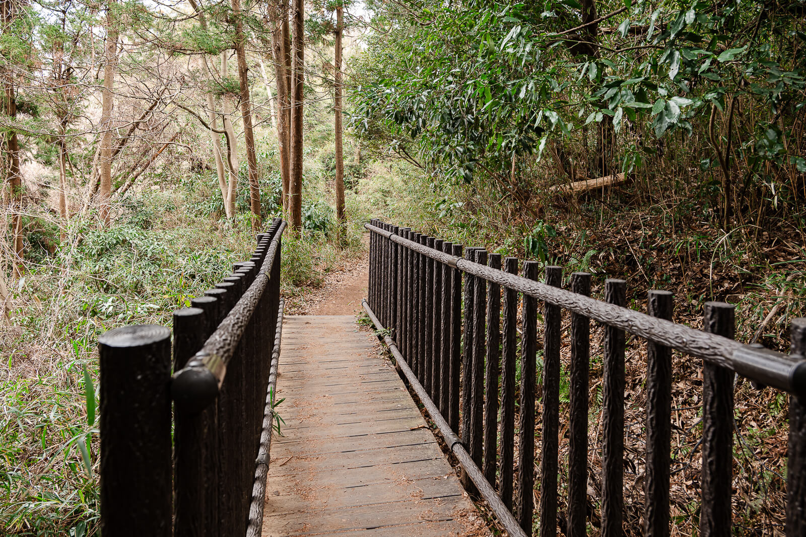
Beyond the Kakuon-ji junction, the full Ten-en course continues east along the wooded ridge toward Mt. Ōhira. The trail crosses exposed roots, uneven rock, and compacted soil while alternating between short climbs and descents. Although the initial ascent from Kenchō-ji is complete, this section still requires steady effort.
The forest occasionally opens to views across Kamakura and the surrounding hills. Other sections pass through denser vegetation where the ridge feels separated from the city below. Trail markers help distinguish the main course from smaller paths connecting with nearby neighborhoods.
The approach to Mt. Ōhira becomes rockier as the trail gains elevation again. Some sections require hikers to step across worn stone or use their hands for additional balance. Reaching the mountain marks the highest point of the Ten-en course and the highest natural elevation within Kamakura.
Mt. Ōhira and the Ten-en Summit Area
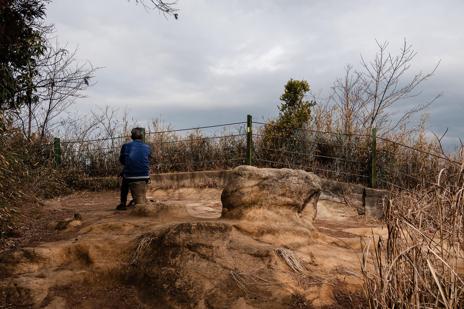
Mt. Ōhira reaches 159.2 meters, making it the highest point on the Ten-en course and the highest natural point in Kamakura. The summit is rocky and less developed than a conventional mountain viewpoint. A grassy opening just below it provides more space to stop and take in the surrounding landscape.
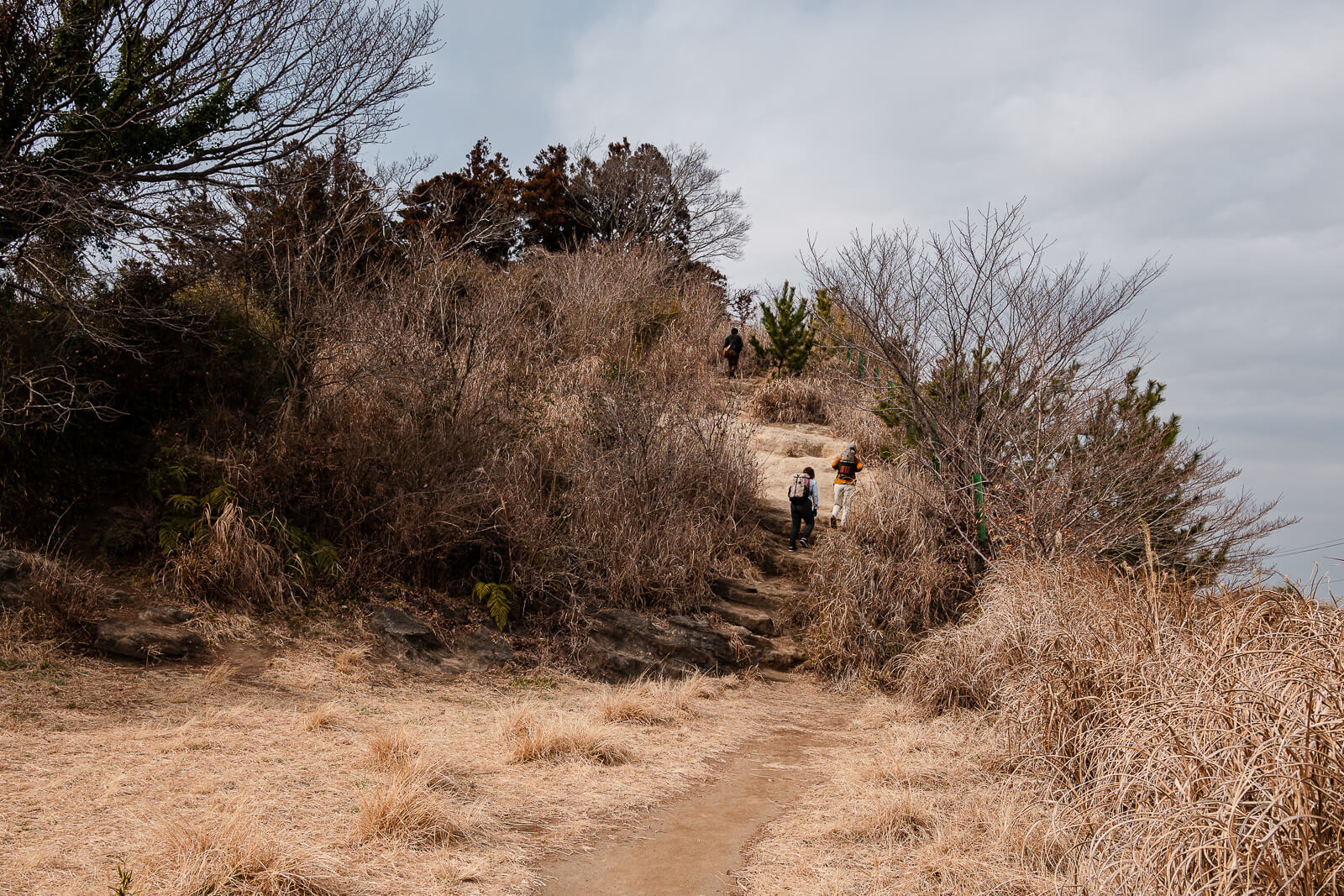
About five minutes beyond the summit, hikers reach the only public restroom along the course, located beside Kamakura Country Club. An outdoor faucet is also available for washing hands. This is the most practical place to take a break before continuing toward the eastern section of the trail.
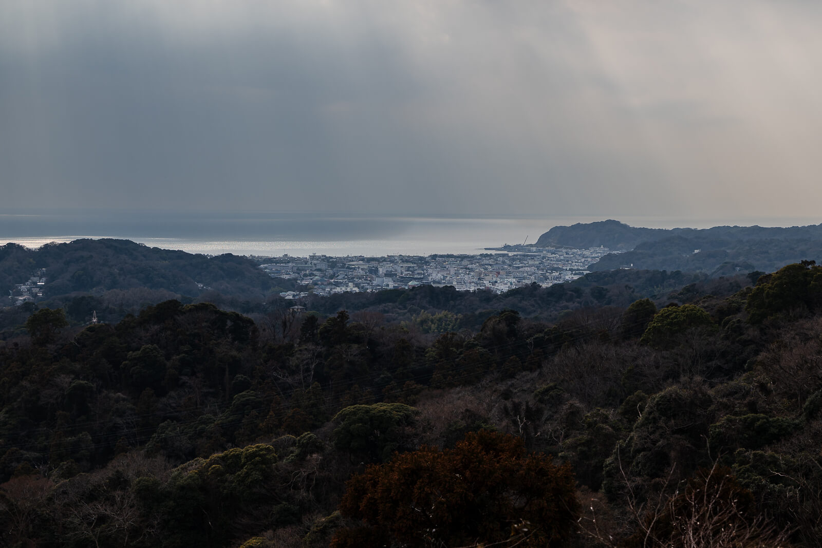
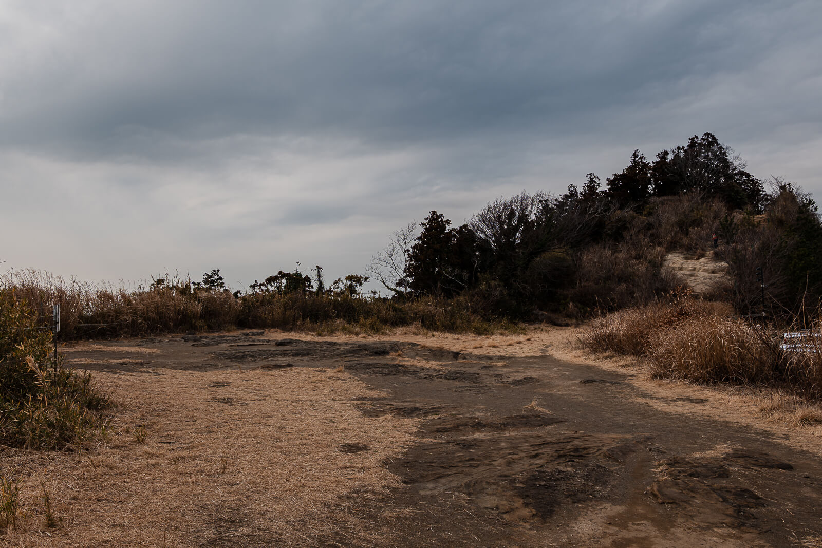
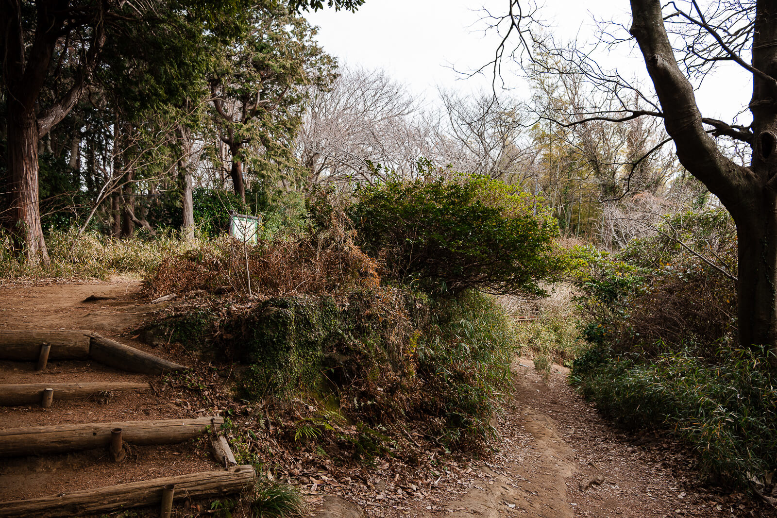
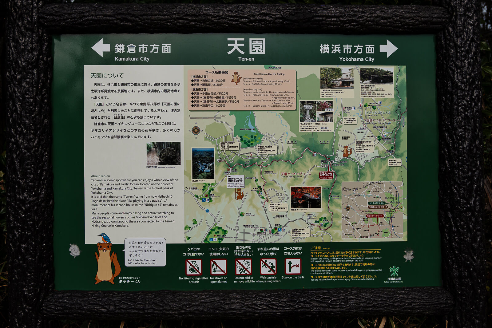
A wide, gently sloping path leads onward to the Ten-en summit area. The small clearing includes an information board and openings with views across Kamakura and Sagami Bay. Its available space makes it one of the best locations along the route for resting or eating a packed lunch before beginning the descent toward Kaifuki Jizō and Zuisen-ji.
Descending Past Kaifuki Jizō
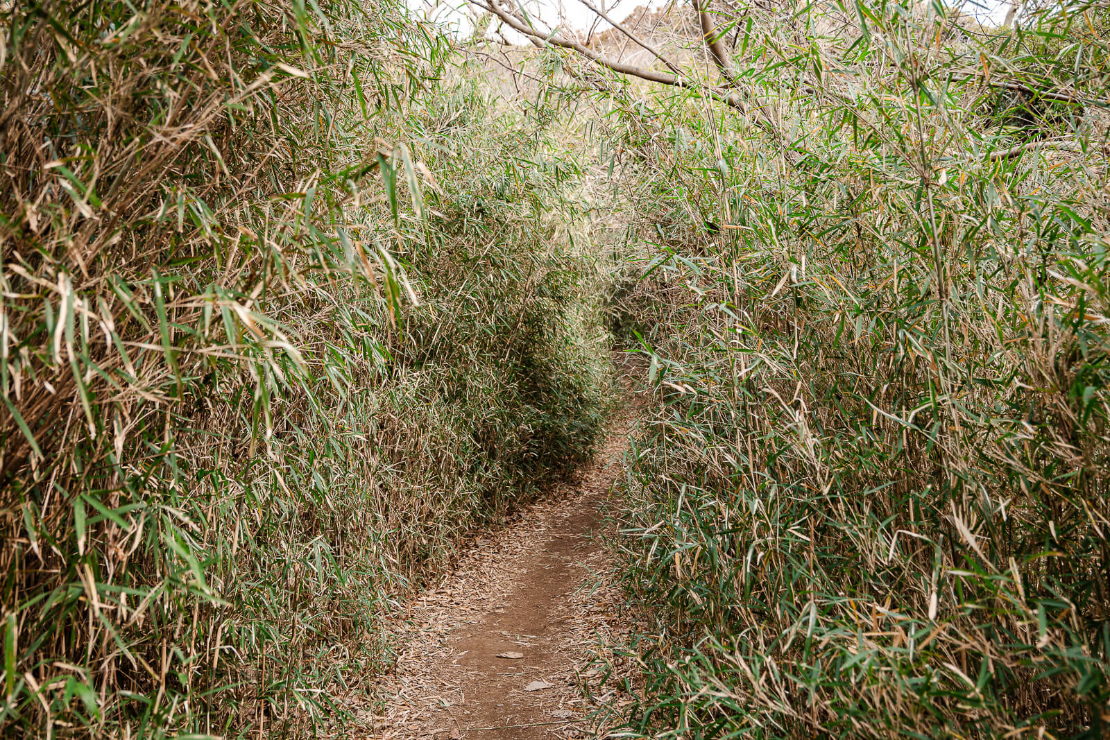
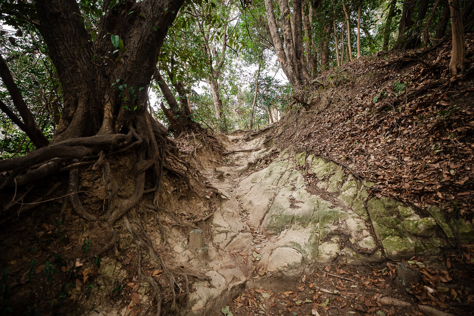
Beyond the Ten-en summit area, the course returns to a narrow, unpaved trail and begins its longer descent toward Zuisen-ji. Moss-covered boulders, dense vegetation, and a bamboo grove replace the wider path near the summit. Although the route is mostly downhill, exposed roots and uneven ground still require careful footing.
Partway down Mt. Tendai, hikers reach Kaifuki Jizō, a small stone statue positioned among the trees. According to local legend, the Jizō blew a conch shell to guide Hōjō retainers carrying the severed head of Hōjō Takatoki after the Kamakura shogunate fell in 1333. The modest statue is easy to overlook without watching for the trail marker.
After Kaifuki Jizō, the descent continues through mixed forest toward the Zuisen-ji trail entrance. Several branching paths appear along this section, making directional signs and an offline map especially useful. The slope gradually becomes gentler as the trail approaches the residential edge of Nikaidō.
Leaving the Trail at Zuisen-ji
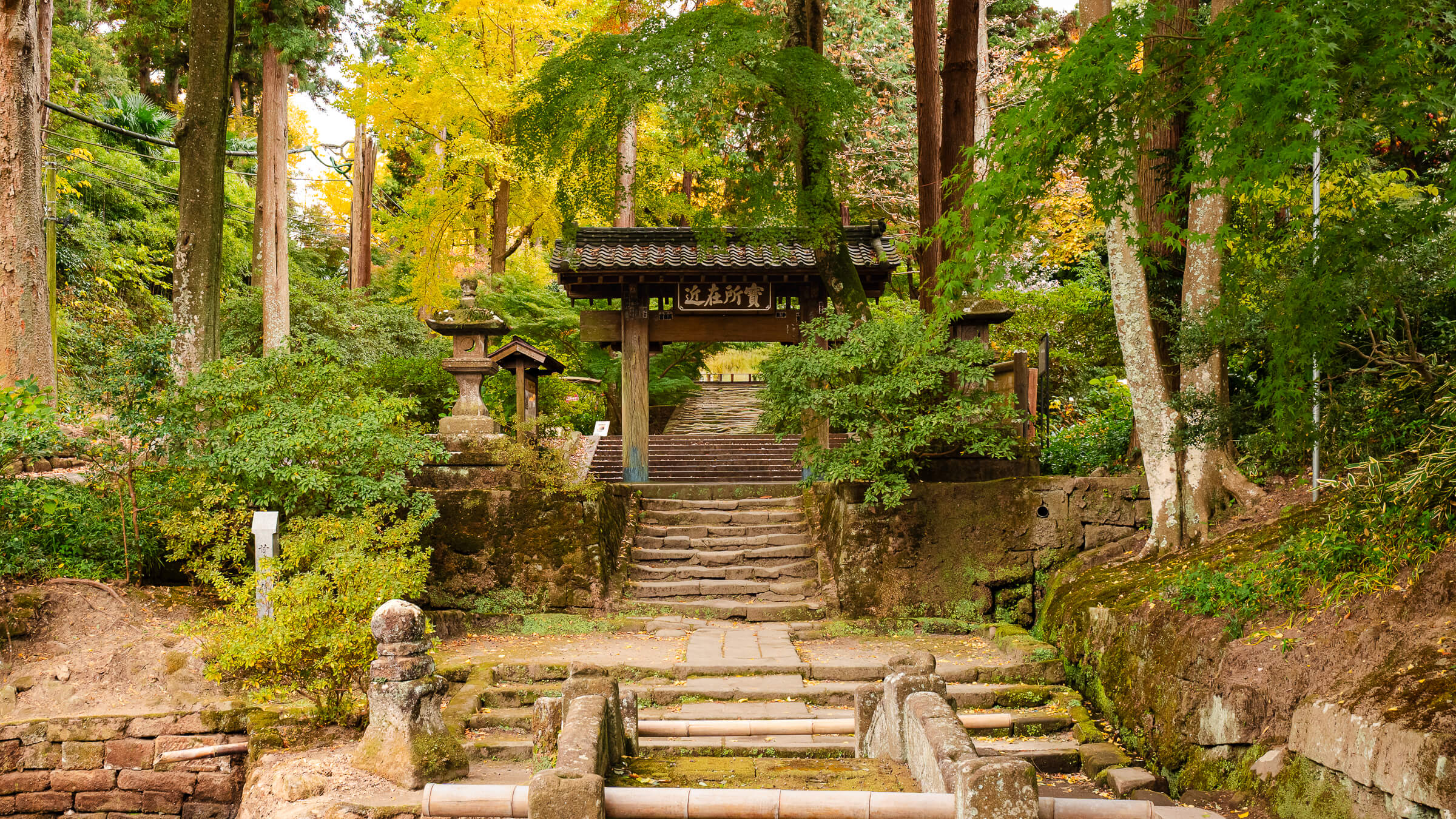
The final descent emerges onto a paved road in the Nikaidō district near Zuisen-ji. This marks the eastern end of the natural Ten-en Hiking Course. The temple is reached by continuing a short distance through the surrounding residential area.
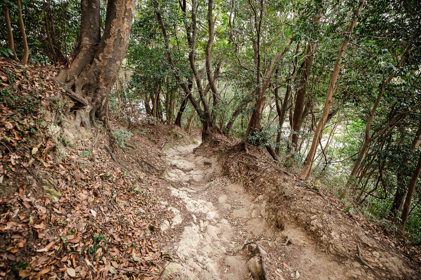
The transition from the wooded ridge to pavement is gradual, but the trail can remain uneven and slippery until the final exit. Hikers should continue watching for roots, loose soil, and worn stone instead of relaxing too early. Directional signs confirm the route toward Zuisen-ji.
Reaching the temple creates a fitting endpoint after crossing the Kamakura Alps from Kenchō-ji. Visitors arriving before closing can enter Zuisen-ji as a separate attraction. Those continuing toward central Kamakura can proceed through Nikaidō toward Kamakuragū.
Visiting Zuisen-ji After the Hike
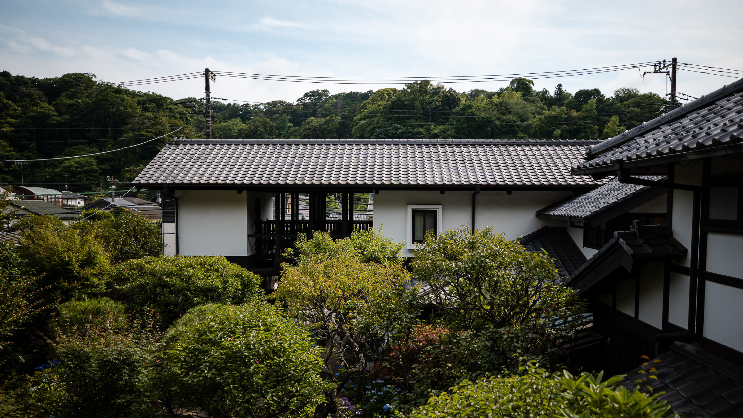
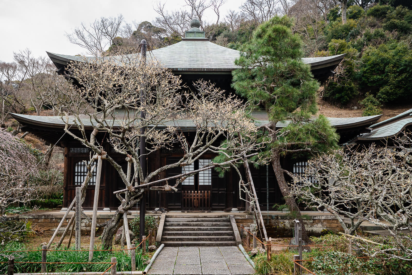
Zuisen-ji can be visited separately after leaving the Ten-en trail, provided hikers arrive before the admission desk closes. The Rinzai Zen temple was founded in 1327 by Musō Soseki and occupies a wooded valley at the eastern edge of Kamakura. Its location makes it a fitting cultural endpoint after crossing the ridge from Kenchō-ji.
The temple is best known for the rock garden carved into the hillside behind the main hall. Caves, stone surfaces, and vegetation form a distinctive landscape that differs from the forest terrain encountered along the hike. Seasonal flowers and autumn foliage provide additional reasons to explore the grounds.
Visitors should allow approximately 30 to 45 minutes for Zuisen-ji. Anyone arriving too late can continue directly through Nikaidō toward Kamakuragū and central Kamakura. The remaining route is paved, but the walk to Kamakura Station still adds substantial distance after the hiking course.
Walking Back Through Kamakuragū and Tsurugaoka Hachimangū
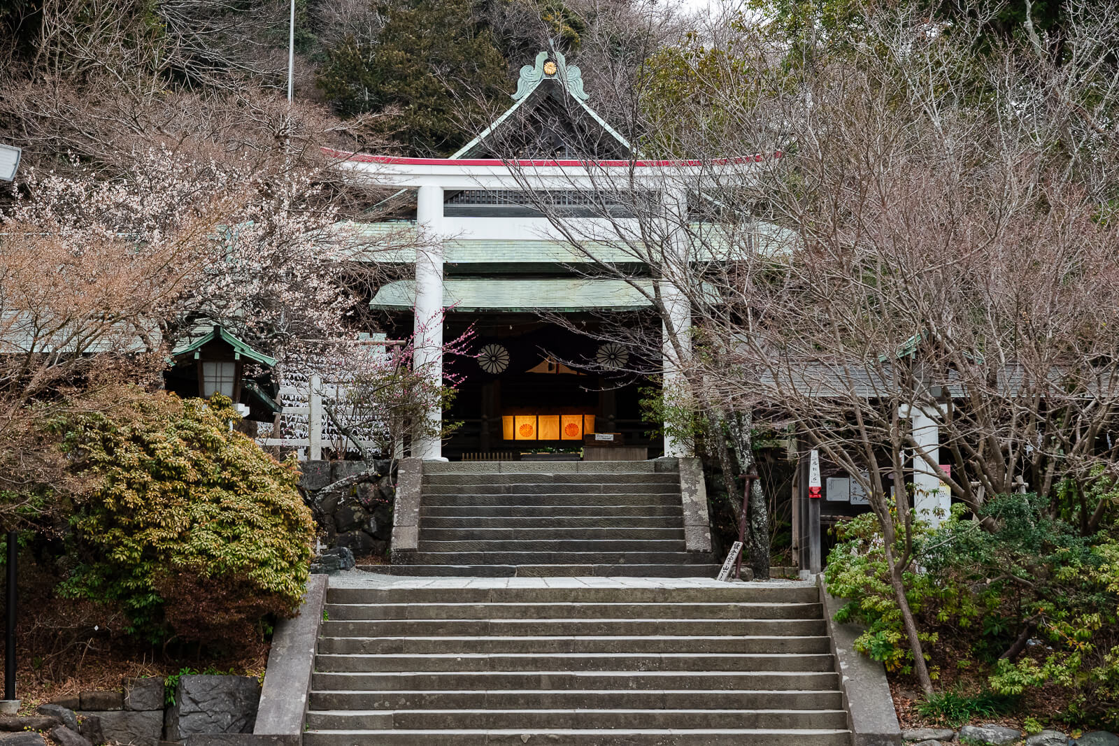
From Zuisen-ji, the route continues through the residential streets of Nikaidō toward Kamakuragū. The shrine is associated with Prince Morinaga and provides the first major stop after leaving the Ten-en course. Visitors with sufficient time can explore the grounds before continuing toward central Kamakura.
The walk then passes through the eastern historical district toward Tsurugaoka Hachimangū. This paved section is easier than the mountain trail but adds considerable distance to the day. Local buses provide an alternative for hikers who no longer want to continue entirely on foot.
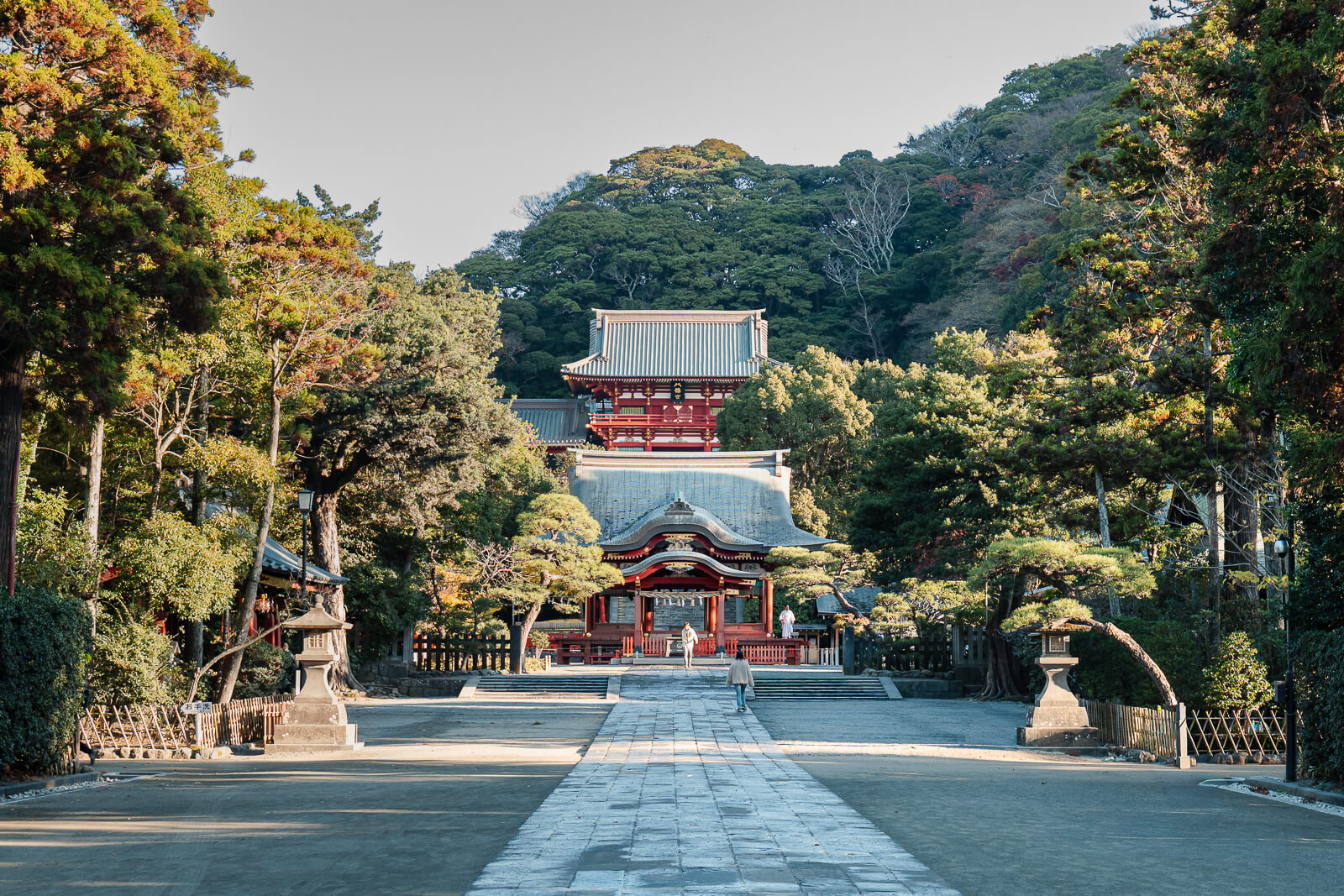
Tsurugaoka Hachimangū works well as the final major historical site because its grounds remain accessible after many temples have closed. Hikers can enter from the eastern side, cross the shrine grounds, and descend toward Wakamiya Ōji. From there, Komachi-dōri and Kamakura Station are within easy walking distance.
Finishing Along Komachi-dōri at Kamakura Station
From Tsurugaoka Hachimangū, hikers can enter Komachi-dōri for the final walk toward Kamakura Station. The pedestrian shopping street runs parallel to Wakamiya Ōji and provides a direct route through central Kamakura. Crowds are often heavier here than elsewhere along the day’s route.
Restaurants, cafés, souvenir shops, and local specialty stores make Komachi-dōri a convenient place for a post-hike meal or break. Many businesses begin closing during the early evening, so available options depend on the finishing time. Visitors arriving earlier can also browse the side streets connecting Komachi-dōri with Wakamiya Ōji.
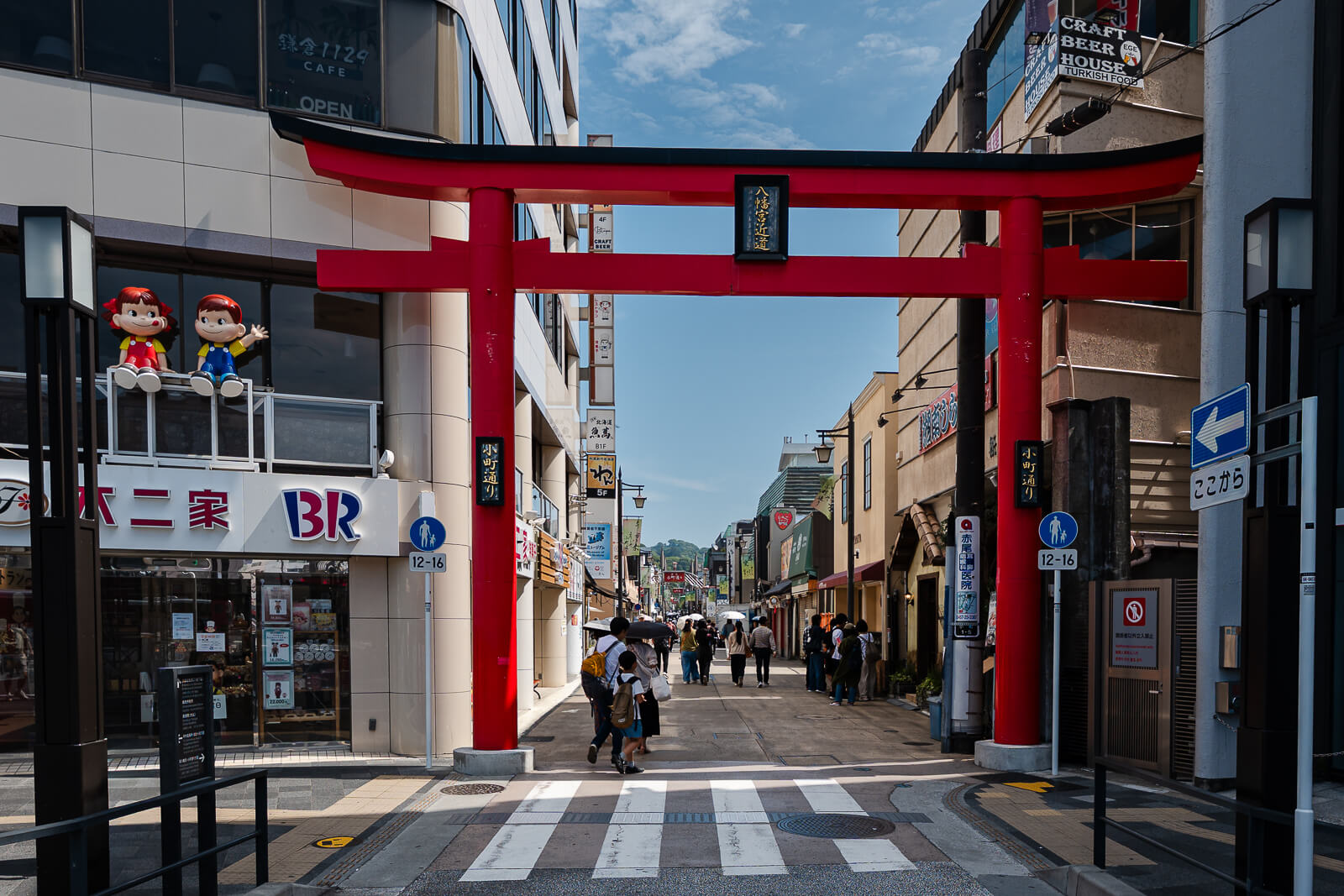
Kamakura Station marks the end of the full one-way journey from Kita-Kamakura through the Kamakura Alps. Completing the hike and the paved return entirely on foot creates a demanding full-day route. Travelers who finish with limited energy can shorten the final stage by taking a bus from Zuisen-ji or Kamakuragū.
Trail Conditions, Time, and Route-Finding
The Ten-en Hiking Course is an easy-to-moderate hike without many technically difficult sections. The approach through Kenchō-ji to Hansōbō and the beginning of the natural trail is mostly stairways, but the climb is manageable and takes about 20–25 minutes. Shrines, viewpoints, and other places to stop along the way create natural pauses before reaching the wooded trail.
After entering the natural trail, the route followed in this guide is mostly downhill with several moderate climbs and short uneven sections. Exposed roots, worn rock, and narrow passages require normal attention, but the course is well established and generally straightforward. Hiking shoes with dependable traction are helpful, especially after rain.
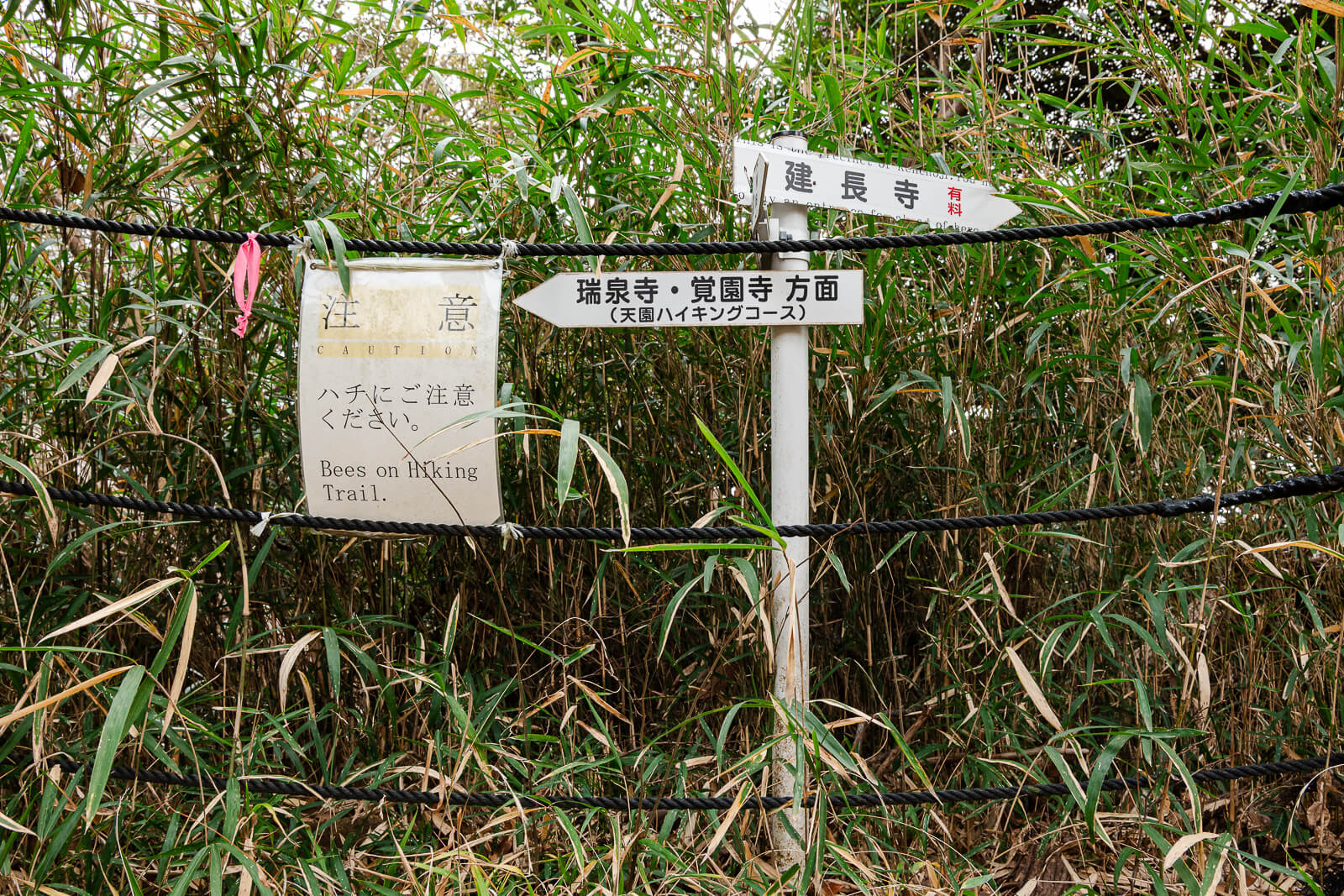
Allow approximately two and a half hours for the hiking course, or three to four hours with photography, viewpoints, and rest breaks. Directional signs appear throughout the route, although some point toward Yokohama, Kakuon-ji, or nearby neighborhoods instead of Zuisen-ji. Take a moment at each junction to eliminate directions that lead away from Zuisen-ji, and the main route is not difficult to follow.
Carry sufficient water because there are no shops along the natural section of the course. Checking current trail notices and weather conditions before departure is also sensible, particularly after heavy rain or storms.
Access & Arrival
Getting There
The most practical approach begins at JR Kita-Kamakura Station, followed by a walk to the paid grounds of Kenchō-ji. The formal trailhead is located at Hansōbō above the temple complex, while the unpaved mountain path begins beyond Shōjōken Observatory. After descending near Zuisen-ji, this guide continues through east
Hours and Fees
Ten-en Hiking Course: No separate operating hours are published; hike during daylight
Kenchō-ji: 8:30 a.m.–4:30 p.m.
Zuisen-ji: 9:00 a.m.–5:00 p.m. · Last admission: 4:30 p.m.
Ten-en Hiking Course: Free
Kenchō-ji: Adults (high school and above) ¥500 · Elementary and junior high school students ¥200 · Cash only
Zuisen-ji: High school students and above ¥200 · Elementary and junior high school students ¥100
Access through Kenchō-ji is limited to the temple’s 8:30 a.m.–4:30 p.m. visitor hours. The gates close at 4:30 p.m., so hikers cannot begin the course from Kenchō-ji or use the temple grounds as an exit after closing. Kenchō-ji admission is required even when its grounds are used as part of the hiking route.
Confirm current visitor information with the official source above before your trip.
Plan Your Ten-en Hike
These resources help travelers prepare for the hike, organize a Kamakura stay, and reduce uncertainty before departure.
Stay Near the Trail Route
Staying in Kamakura supports an earlier Kenchō-ji start and leaves more time for Zuisen-ji and central Kamakura.
Compare Kamakura Hotels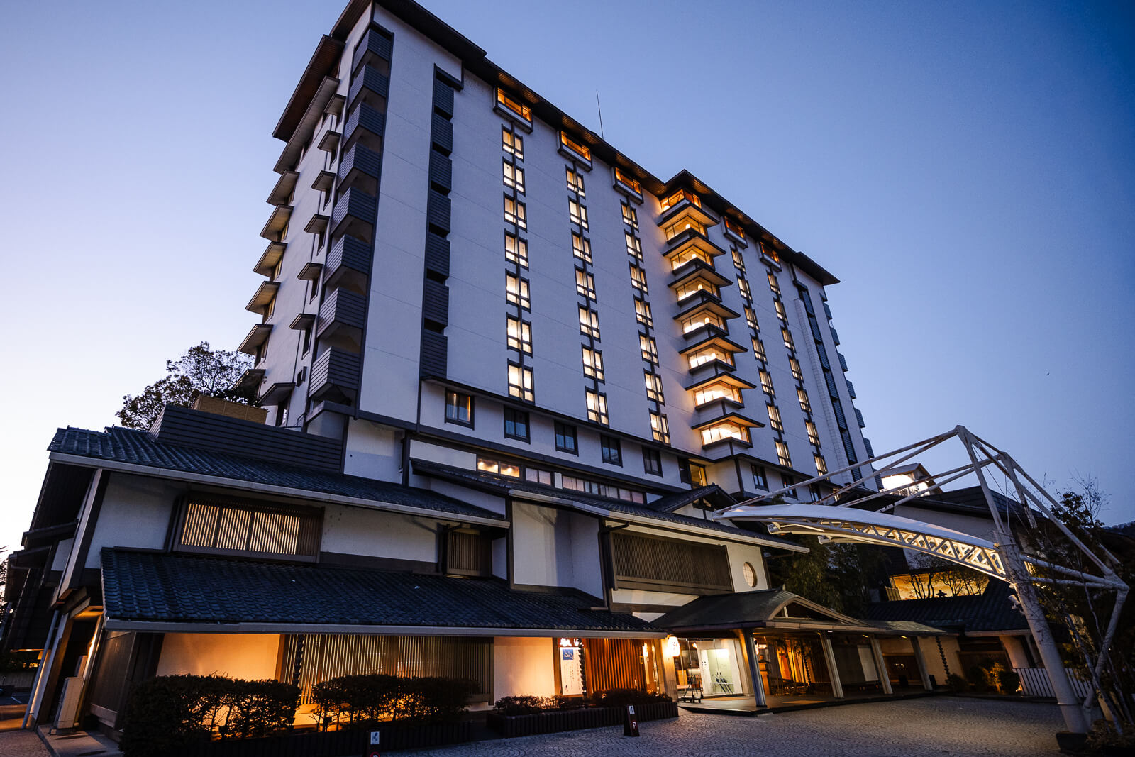
Compare Guided Kamakura Experiences
Guided experiences add historical context and combine Kamakura landmarks for travelers planning more than the trail alone.
View Kamakura Tours Stay Connected Along the Route
Mobile data supports map checks at unfamiliar junctions and makes the point-to-point return through Kamakura easier to manage.
Compare Japan eSIMs
Reader note: Japan Unfolded may earn a commission from some links at no extra cost to you.