A Rocky Shore at the End of the Island Walk
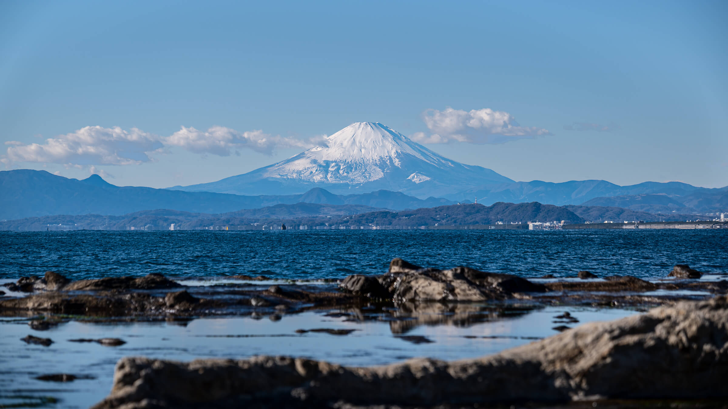
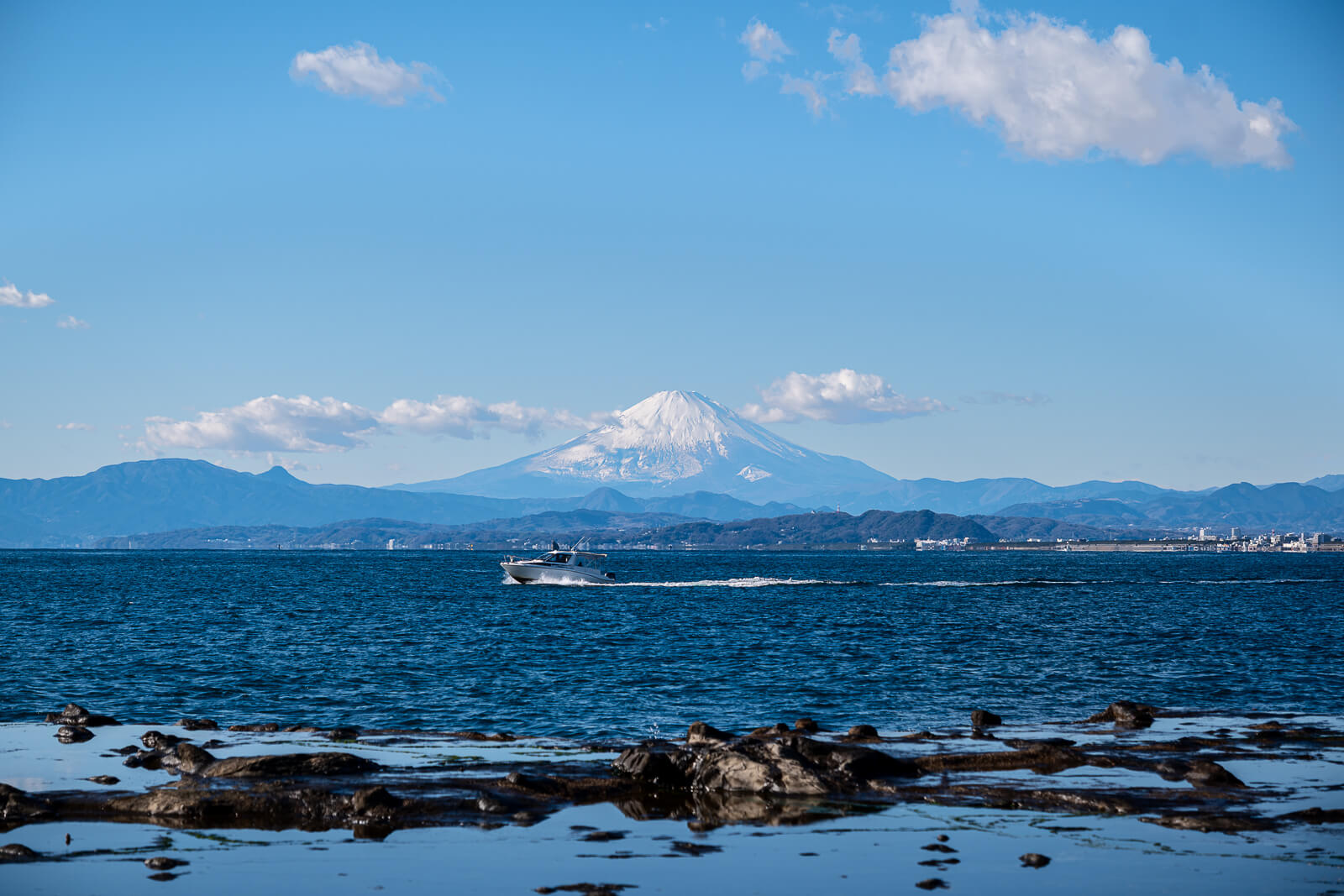
Chigogafuchi is the broad rocky shore on Enoshima’s far side, close to the Iwaya caves. After the shopping street, shrine precincts and narrower paths above, the space opens onto cliffs, rock shelves and sea. In clear conditions, Mount Fuji across the water makes the view especially memorable, but the coastline is worth seeing without the mountain.
This is the part of Enoshima that invites a less directed pause. Visitors can look across the water, examine the exposed rock surface where conditions permit, or watch the changing relationship between waves and shore. It feels different from entering another attraction: the landscape itself supplies the interest.
Reaching it by the main island route involves going over the higher ground and descending on the far side. That makes the return a practical part of the visit, even when the earlier Escar ride reduced the climb to the summit. The Enoshima island guide puts that crossing in context. Count the journey back before using all the remaining time beside the sea, especially if you also plan to enter the neighboring Iwaya caves.
The Raised Wave-Cut Platform Beneath Enoshima’s Cliffs
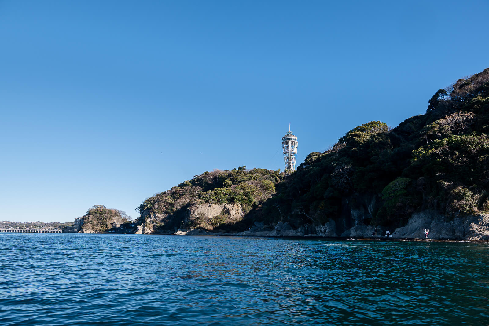
The word “abyss” sometimes appears in English descriptions of Chigogafuchi, but the visitor setting is a broad coastal rock platform beneath the cliffs. Fujisawa’s tourism account describes a wave-cut surface exposed through uplift. The visible shelves, shallow pools and steep backdrop make more sense with that distinction than with an expectation of a deep hole or canyon.
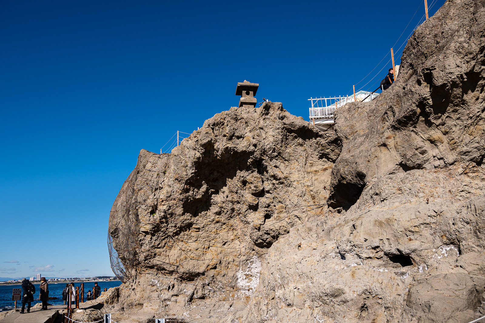
From the established route, the wider view shows the island’s cliff edge and the water surrounding it. At suitable tide and sea conditions, accessible parts of the rock surface offer a closer view of the smaller pools and changes in texture. These are complementary experiences: seeing the shore from the path and walking on an appropriate section of it do not require the same conditions.
The name also carries a local tradition about an acolyte named Shiragiku. That story is part of the place’s cultural background, while the rock platform explains the landscape in front of the visitor. The legend does not change the practical question of how much of the shore is suitable to explore on a particular day.
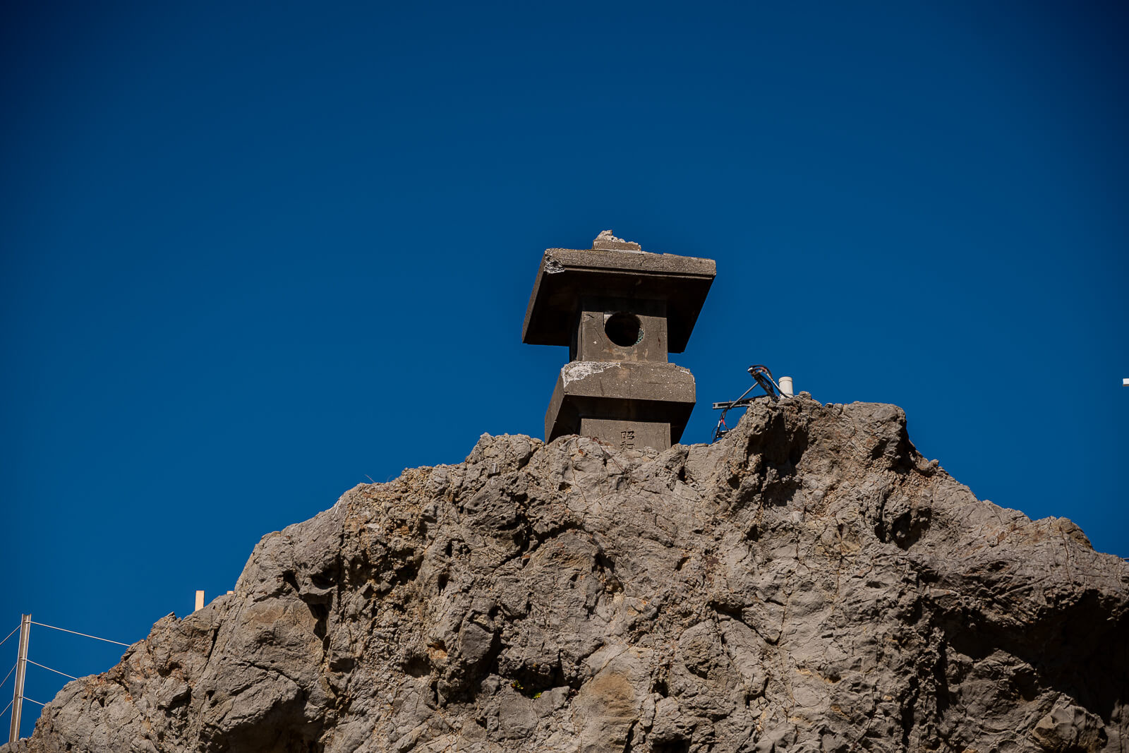
Tides, Waves and Where to Walk at Chigogafuchi
Rock access depends on the combination of tide, waves and weather, rather than tide alone. A low water level can expose more surface without making every exposed area suitable for walking. Keep to open visitor areas and follow any closures or instructions before deciding how far to move away from the established path.
The pools and flatter-looking shelves can be appealing subjects, but the amount of usable ground changes between visits. Choose a view that can be enjoyed from a sound position instead of treating a photograph of someone farther out as a route to follow. If conditions limit access, the cliff-and-sea setting can still be appreciated from the main walkway.
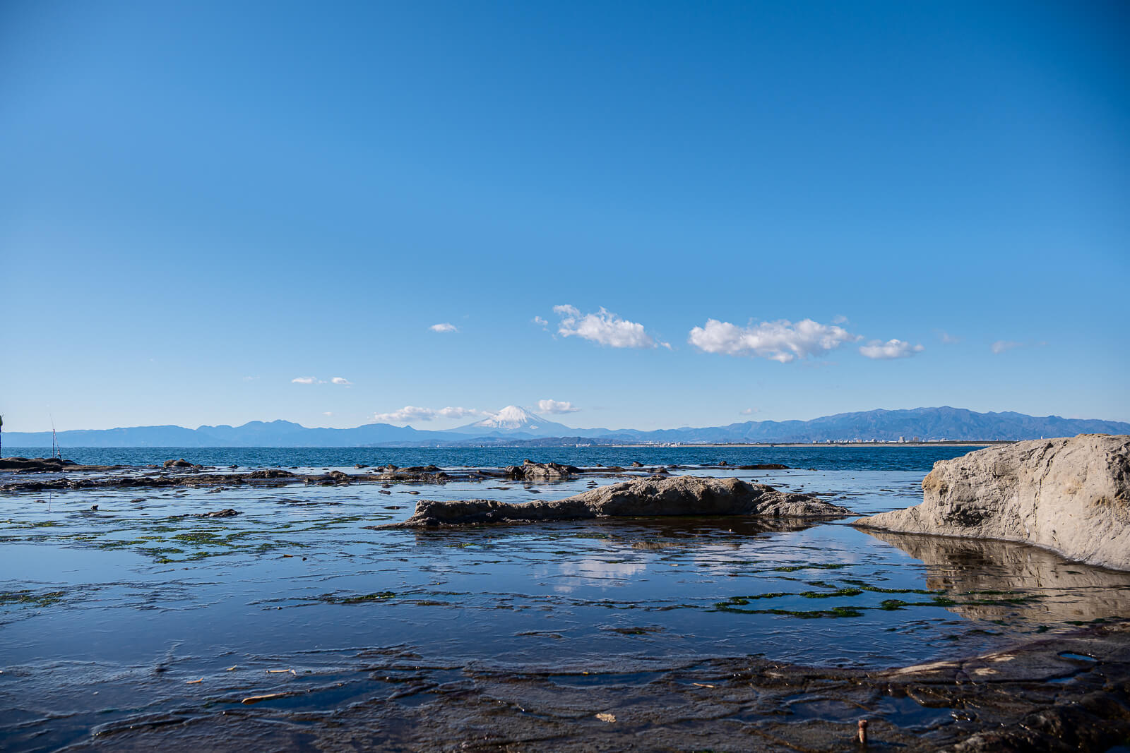
Anglers can be seen on this coast, sometimes in positions much more exposed than the visitor route. Their presence is one of the details to notice from a suitable viewpoint. Their choice of position should not be taken as evidence that the same route is appropriate for a casual island walk.
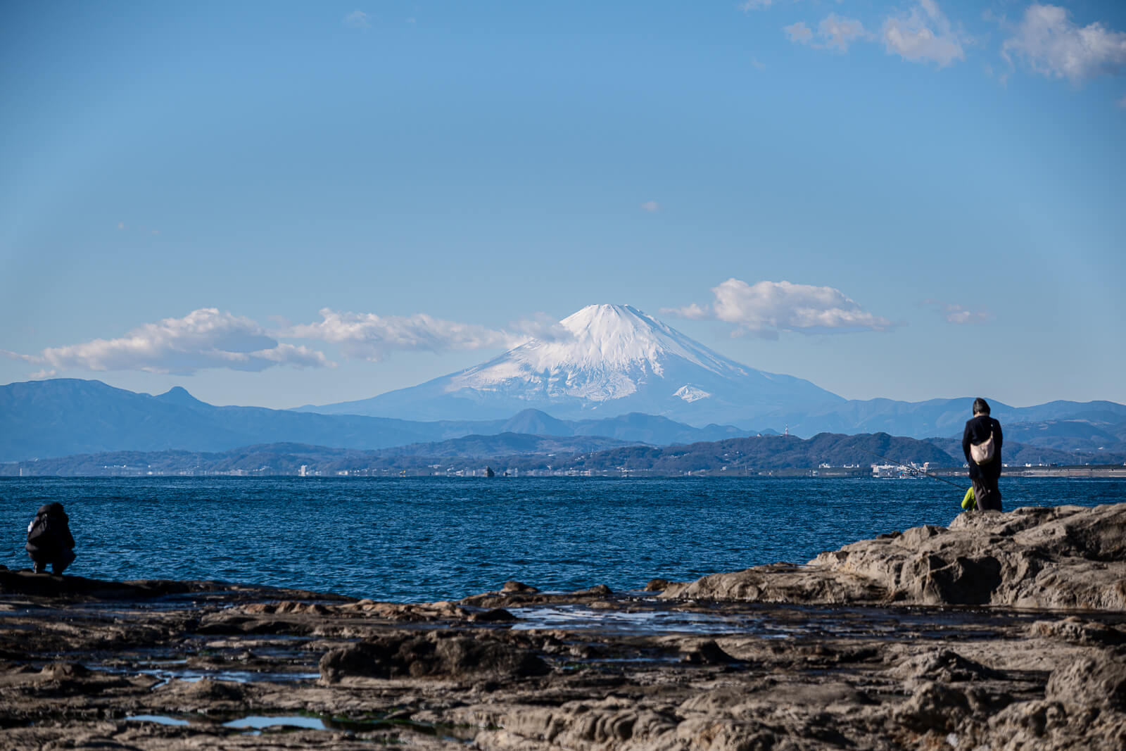
Mount Fuji Views Across the Water
Fuji is the exceptional clear-day addition to Chigogafuchi, with the open sea establishing a foreground very different from the higher viewpoint at the Sea Candle. When the mountain is visible, first take in its relationship with the shore and surrounding water. A wider composition explains where you are, while a tighter view gives the mountain more prominence.
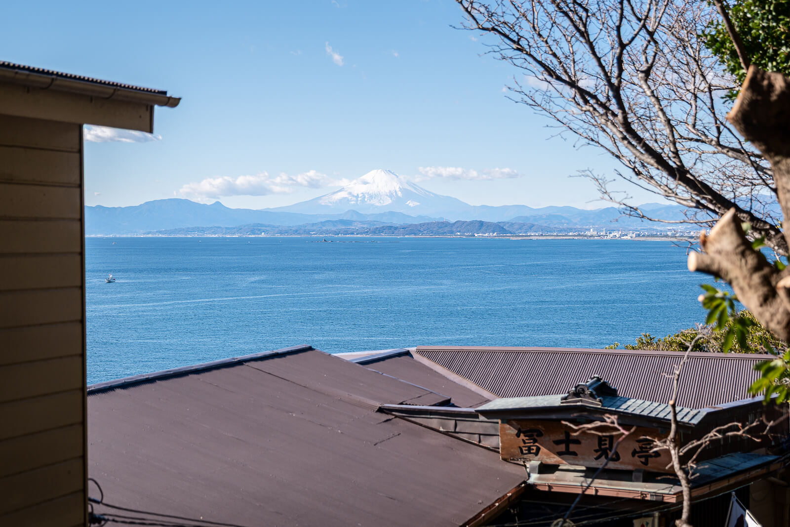
Cloud and haze can conceal Fuji even when the immediate coast looks bright. It is therefore better to treat the mountain as a possible reward than the sole justification for walking to the far side. The rocks, cliff line and open horizon remain the subjects available when distant visibility is poor.
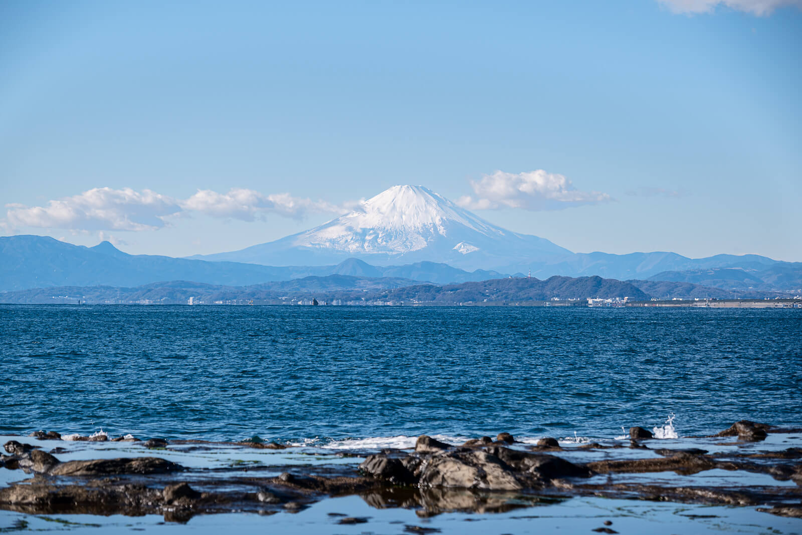
For photographs, the shore offers both scale and smaller details: a broad view of the platform, pools where accessible, and the interaction between water and the edge of the rocks. Those choices also make it possible to respond to the conditions rather than waiting indefinitely for Fuji to emerge. A different crop cannot replace an unsuitable shooting position, so decide where to stand before deciding how tightly to frame the scene.
The Coastal Walkway from Chigogafuchi to Iwaya
The bridge-like walkway toward Iwaya is part of the pleasure of reaching this side of Enoshima. It carries the route along the coast before the paid cave entrance, allowing another look at the cliffs and water. This is a separate walkway from the long bridge crossed at the beginning of the island visit.
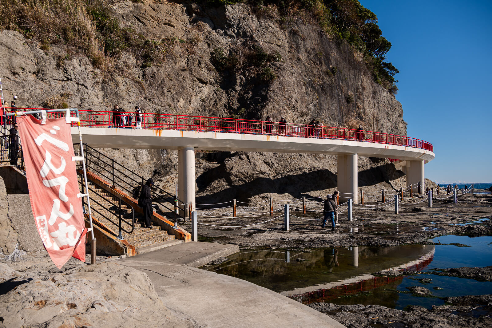
Pairing the shore with Enoshima Iwaya creates a strong contrast. Chigogafuchi is wide and open, while the caves introduce cool, damp air, low passages and devotional figures. Neither needs to be rushed simply because the two places are close together.
If the caves are a priority, check their remaining admission time before settling into a long coastal stop. Watching the sea, composing photographs and entering Iwaya all draw on the same afternoon window. Visiting the caves first and pausing on the shore afterwards can work when it fits the day’s access and return arrangements.
Bentenmaru Boat Return or the Climb Back Across Enoshima
Bentenmaru connects the far-side coast with the bridge area when weather and sea conditions permit. It can save the climb back across the island and offers a different perspective from the water. Its service window is limited, however, and sailings can stop, so an earlier sighting of the boat does not guarantee an available return after Iwaya.
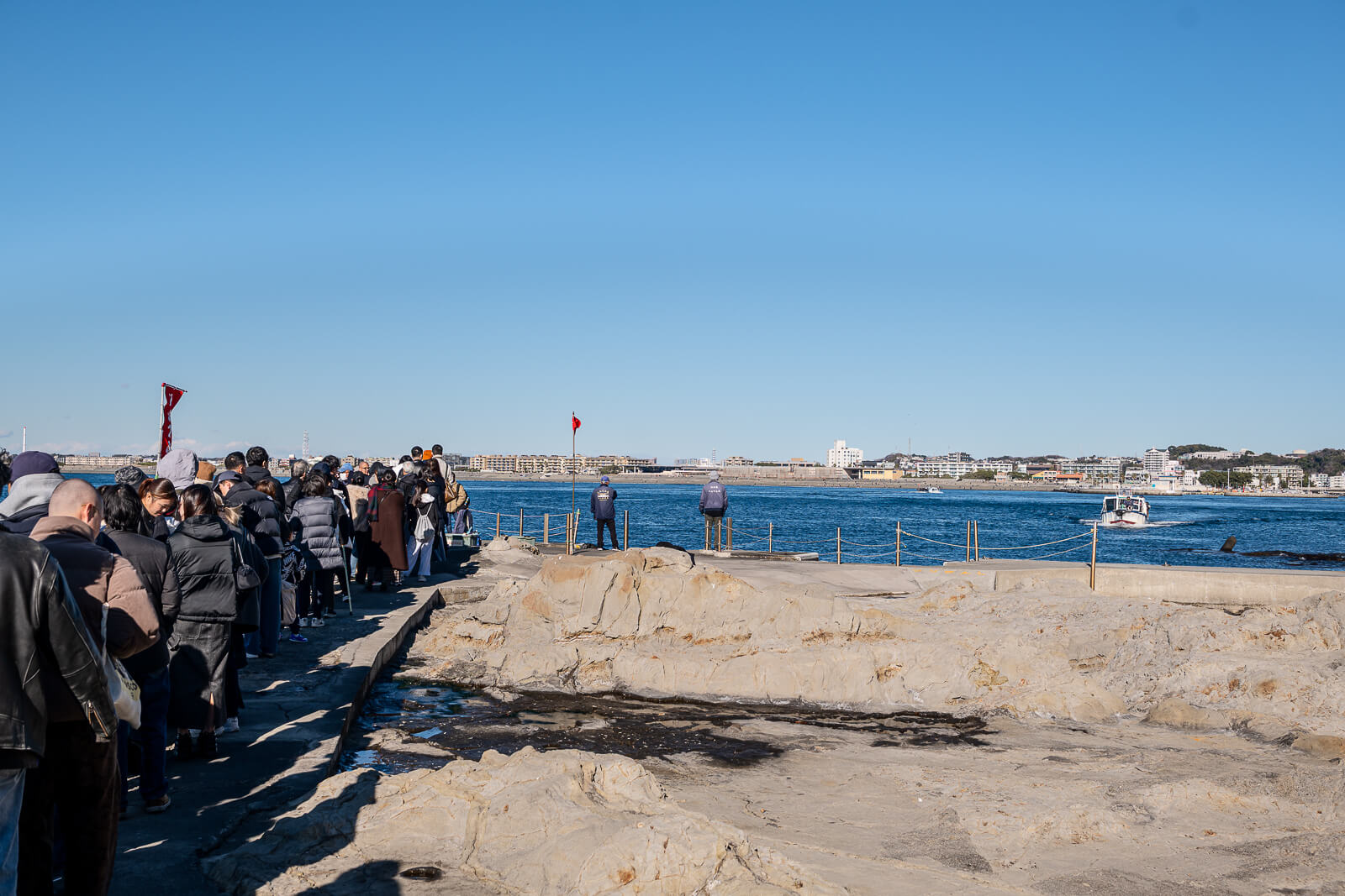
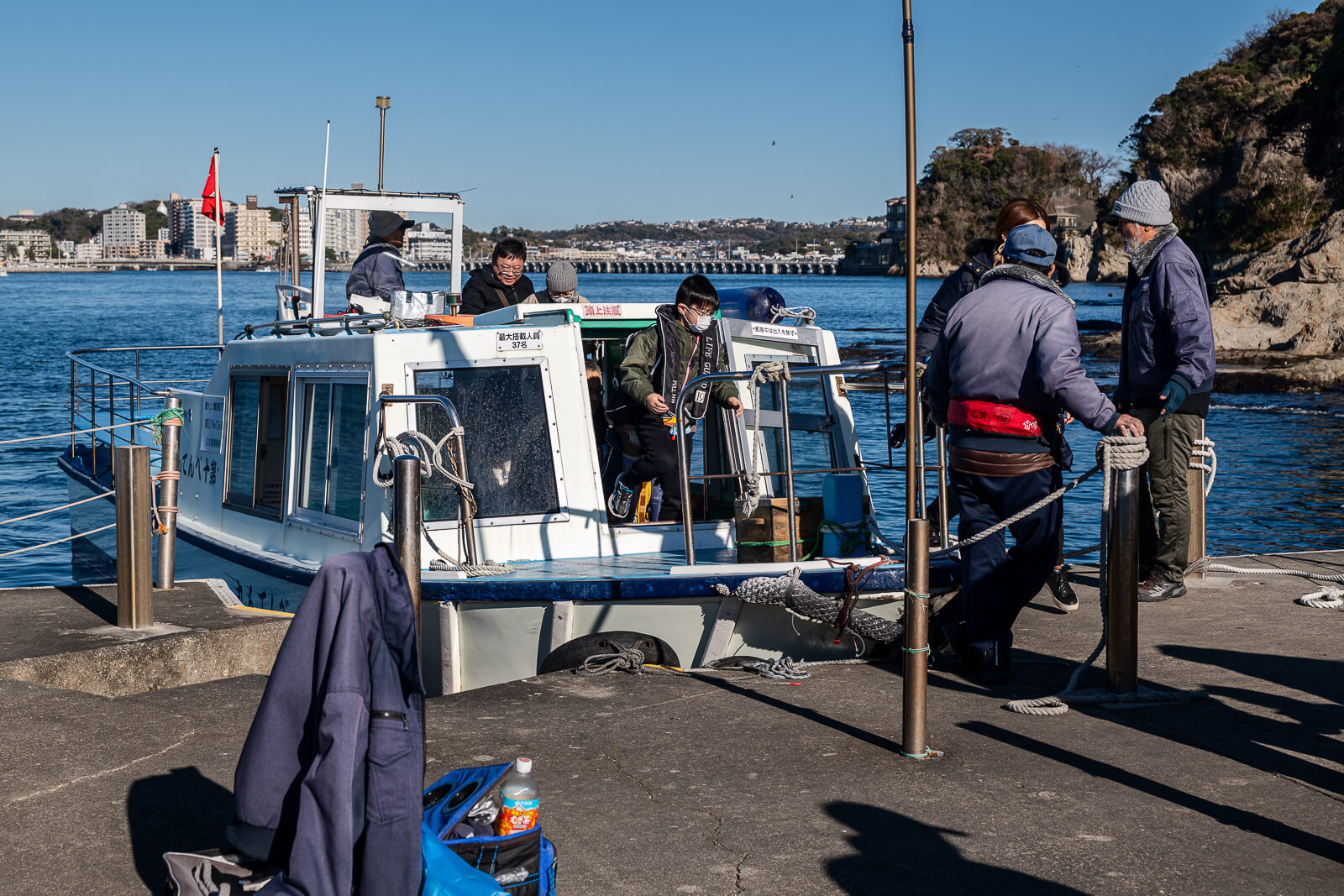
If walking back, allow for the initial climb away from the shore before the route eventually descends toward the entrance. The Escar does not operate downhill and does not provide a return from Chigogafuchi. A visitor who found the first ascent easy because of the escalators may still find this later climb the more demanding part of the day.
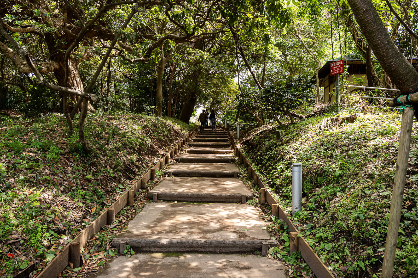
Chigogafuchi suits visitors who value the island’s natural coastline enough to make that journey. It is a particularly strong complement to the summit, because it reveals a different side of the same small island. For a longer coastal trip, the Kamakura guides cover temples and walks along the neighbouring railway corridor.
Getting There
Compare the mainland stations before continuing across the island to Chigogafuchi in the guide to getting to Enoshima.
Access and Arrival
Descend from the farther shrine area. Plan for the climb back; Bentenmaru is an alternative only when operating within its limited service window.
- Across Enoshima Island
Farther shrine area → coastal stairs → Chigogafuchi
Follow the signed island route and local access instructions. · Allow for slopes, stairs and the walking return.
Rock access is conditional: Tide, waves and restrictions determine where visitors can go. An angler's exposed position is not a suggested visitor route.
Hours and Fees
Visitor information
Chigogafuchi is a rocky coastal setting, with access governed by tide, swell and local restrictions.
- Hours
- Plan a daylight visit in suitable conditions. Rock access is not guaranteed. If using Bentenmaru, check its separate daytime operating window and availability before descending.
- Admission
-
No general admission ticket for the shore. Iwaya entry and boat fares are separate. Bentenmaru costs ¥500 for junior-high age and above, ¥200 for children aged 6 through elementary school, and is free for children aged 5 and under. Cash only; service depends on sea conditions.
Optional combined admission
Enoshima Island All-Access Pass
Optional for a wider island-and-aquarium day. Includes Escar, Sea Candle, Iwaya and the aquarium. Choose + Night for event-evening garden entry. Rail, Bentenmaru and Hoanden are separate; check date and package conditions.
Compare Enoshima All-Access Passes
Plan Your Visit
Choose the stay, transport and experiences that fit the wider coastal trip.
Compare Fujisawa and Enoshima Stays
Stay near the Shonan coast for more time on Enoshima and in Kamakura. Compare Fujisawa locations, station connections and cancellation options.
Compare Fujisawa Stays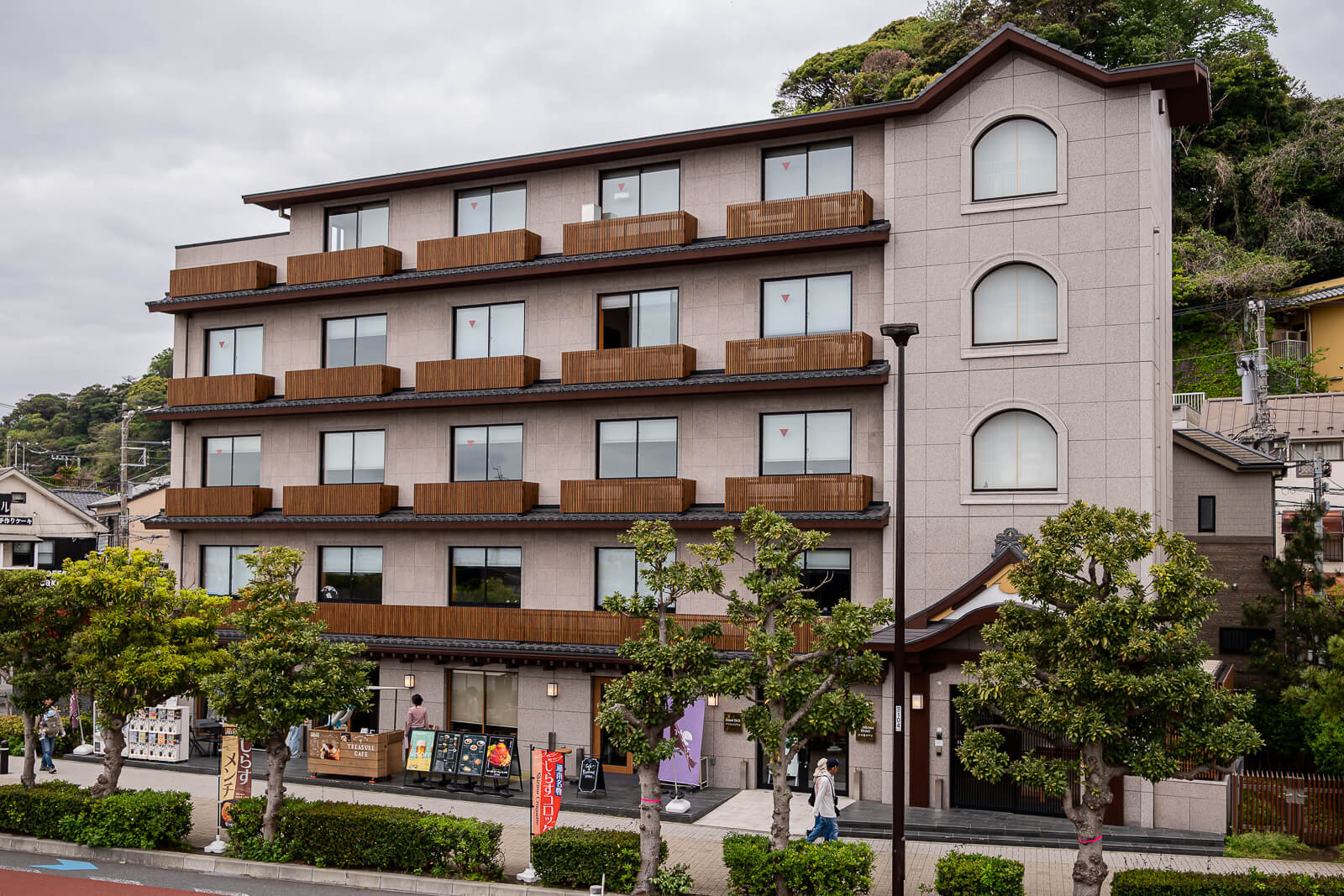
Compare Tokyo Car Rental Options
Rail and walking suit Enoshima itself. Consider a rental car when the wider trip includes places beyond the local railway corridor.
Compare Tokyo Car Rentals
Browse Guided Kamakura Day Trips
Explore Kamakura with a guide and compare routes, included stops and free time. Choose an itinerary that explicitly includes Enoshima if you want both destinations.
Browse Kamakura Tours
Explore Enoshima Aquarium Tickets
Add jellyfish galleries and Sagami Bay marine life to your coastal day. View aquarium admission options for your travel date.
View Aquarium Tickets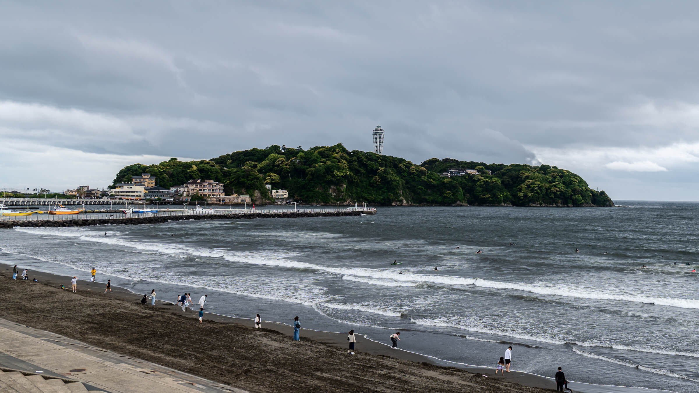
Compare Japan Data Plans
Check phone compatibility, coverage and data allowance for navigation, translation and railway updates while travelling along the coast.
Compare Japan eSIMs
Ride the Shonan Monorail
Arrive through Ofuna on the suspended monorail. Compare ticket options and validity for this route; other railway lines require separate tickets.
View Monorail Tickets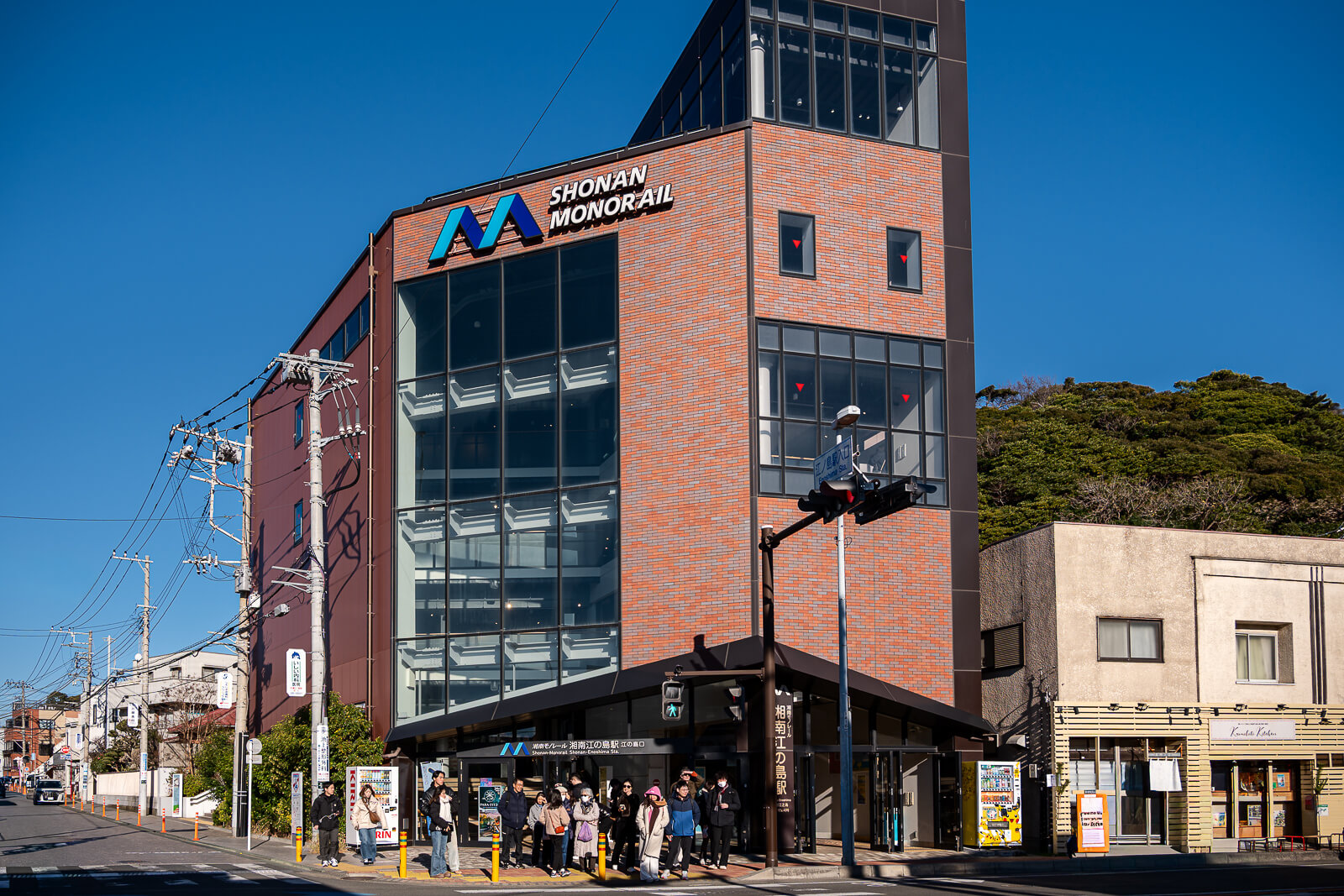
Japan Unfolded may earn a commission through links in this guide, at no additional cost to you.