A Different Way Most People Don’t Start
Most visits to Mt. Oyama begin near the shrine side, using the Omotesandō steps or the cable car to shorten the climb. That approach reaches the mountain quickly and frames the day around ritual, viewpoints, and a compressed ascent.
The Minoge route begins elsewhere. Entering from the west, it approaches Oyama as a mountain first, not an arrival point. The summit sits at 1,252 meters, and this route gains most of that height gradually over the course of the day, with approximately 850–900 meters of elevation gain depending on the exact descent option. The result is a longer, quieter climb shaped by terrain rather than landmarks.
This route suits hikers who want a continuous ascent and a day defined by movement and elevation rather than infrastructure.
Why Pilgrims Once Came This Way
Mt. Oyama has been a sacred peak since the Edo period, when Oyama-mairi pilgrimages spread across the Kanto region. Pilgrims approached from multiple directions, often on foot over long distances, and the routes they chose reflected where they were coming from rather than where crowds gathered.
The Minoge approach is associated with travelers arriving from the west, including Odawara and nearby areas. Instead of gates and staircases, this side of the mountain preserves quieter traces of that history—paths that climb steadily, junctions that once mattered for navigation, and markers that still stand where boundaries were enforced.
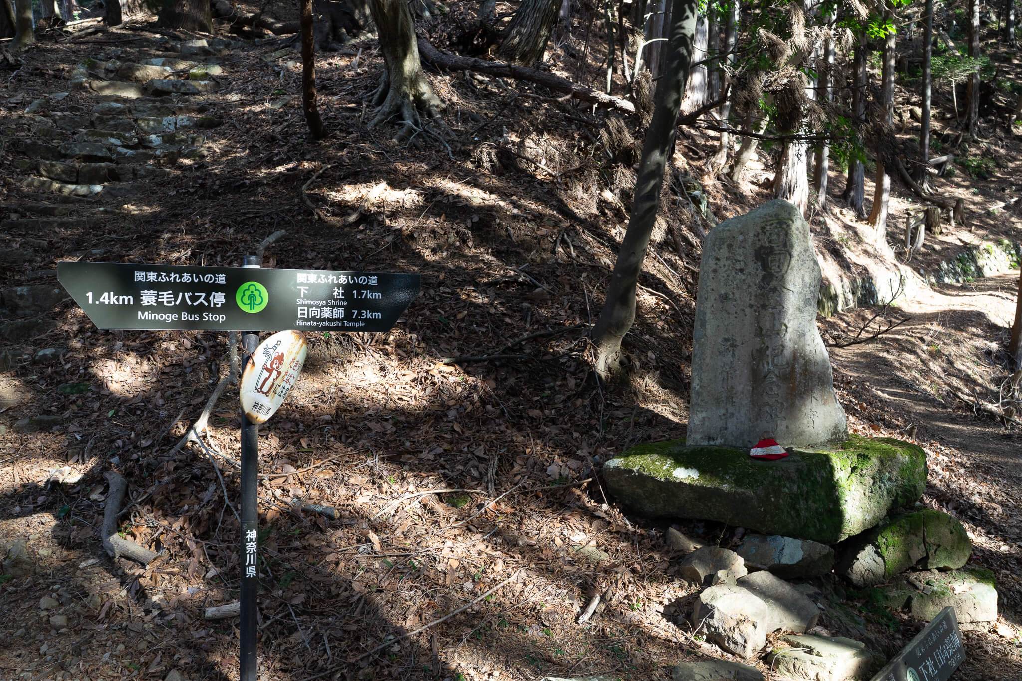
Leaving Minoge and Settling Into the Climb
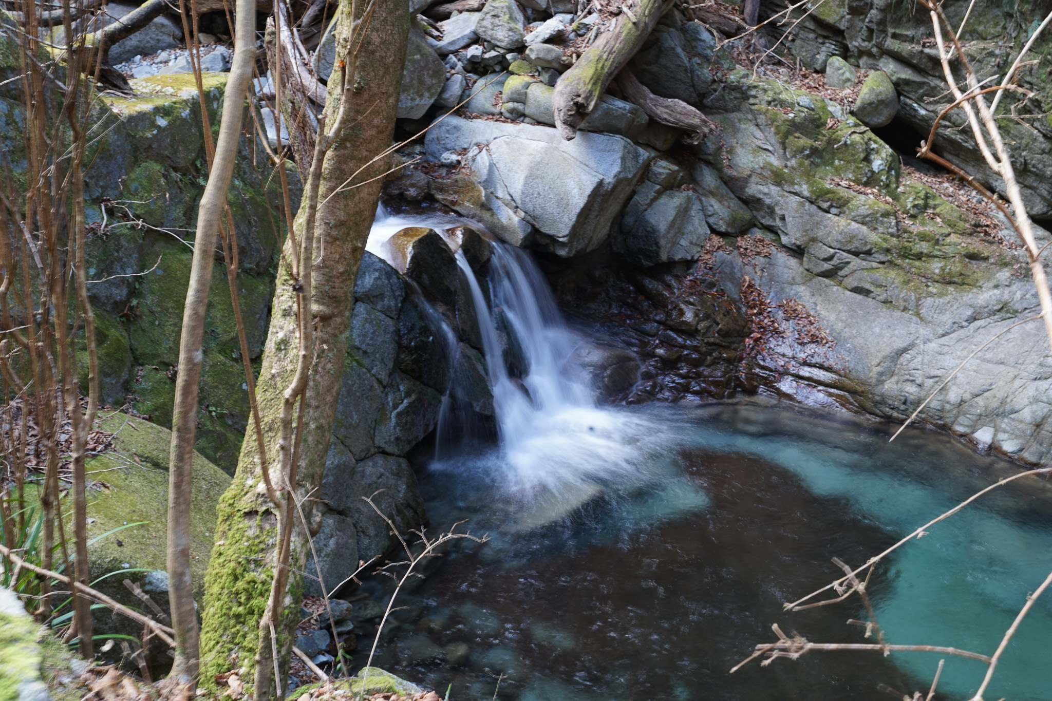
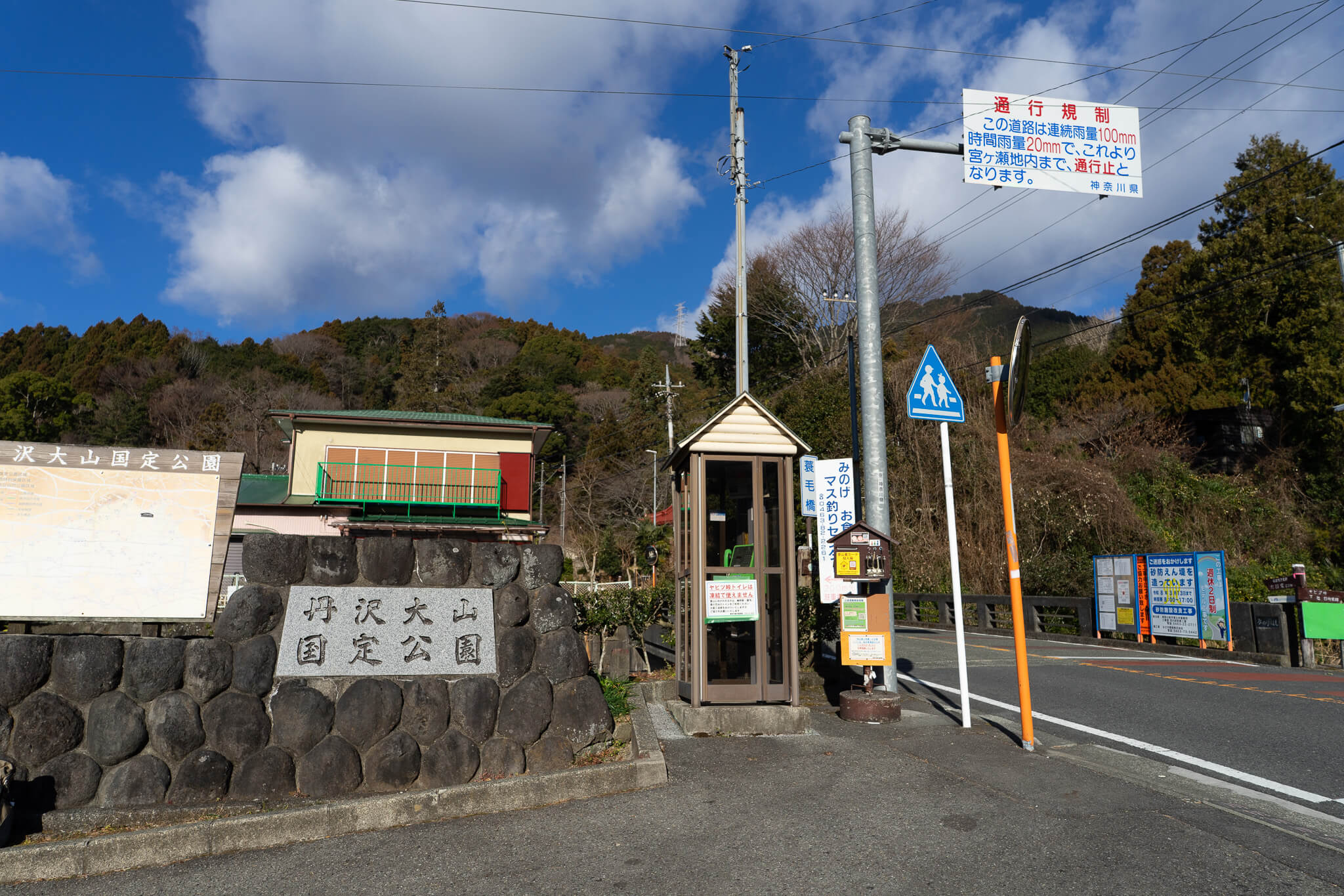
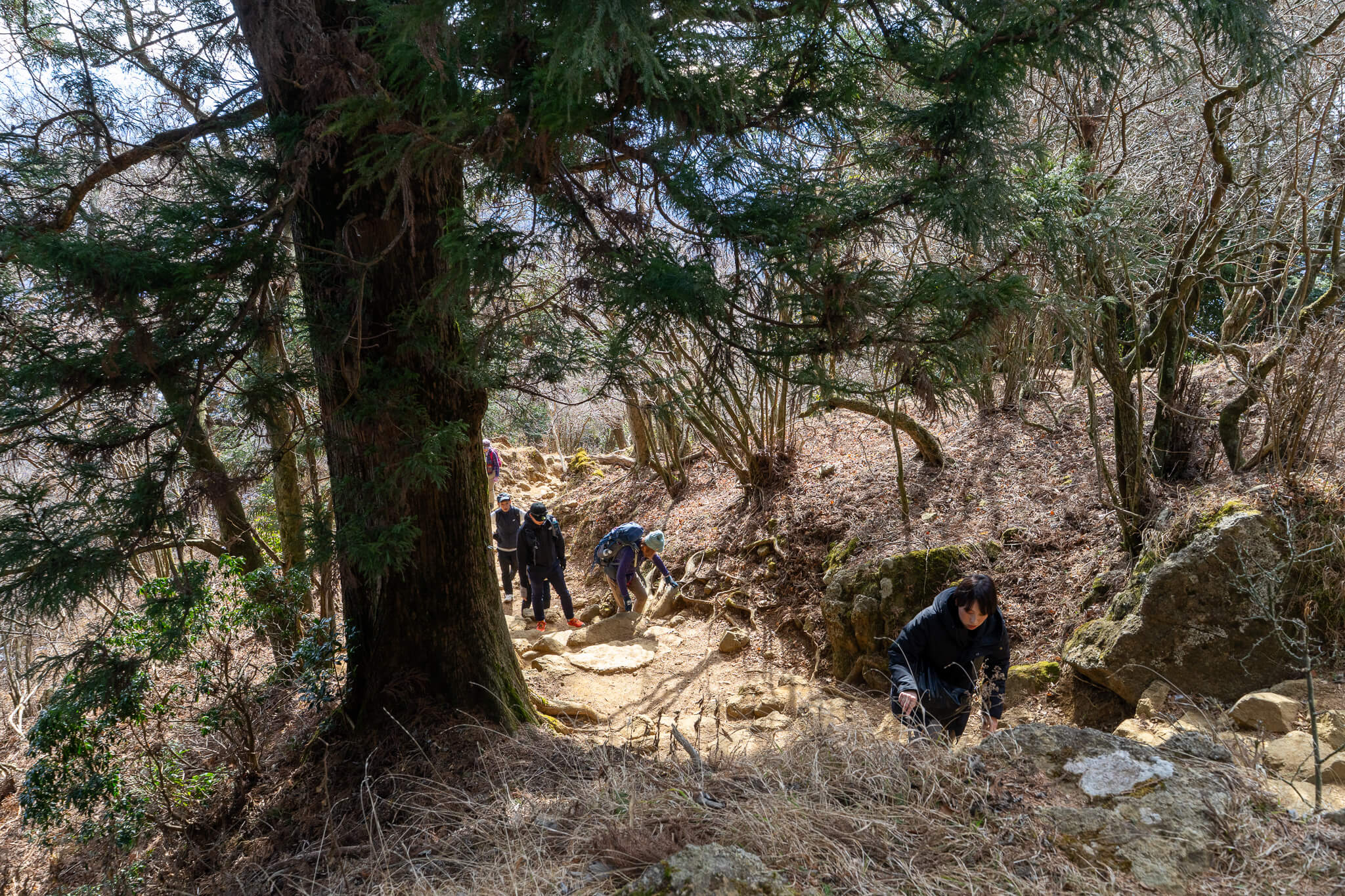
The hike begins at the Minoge bus stop, already several hundred meters above sea level, but with most of the climb still ahead. The trailhead is understated, and the path turns upward almost immediately, disappearing into forest.
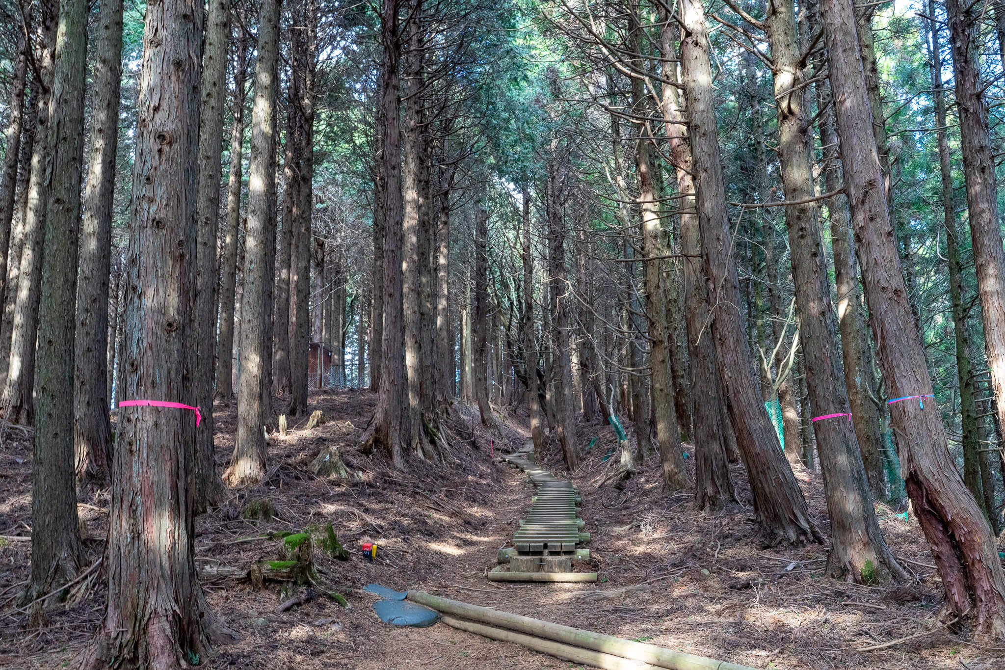
Early elevation gain is steady rather than sharp. The climb unfolds gradually, allowing legs and breathing to settle into rhythm. This is where the Minoge route feels most distinct: you are gaining height, but without spectacle, and the mountain does not announce itself yet.
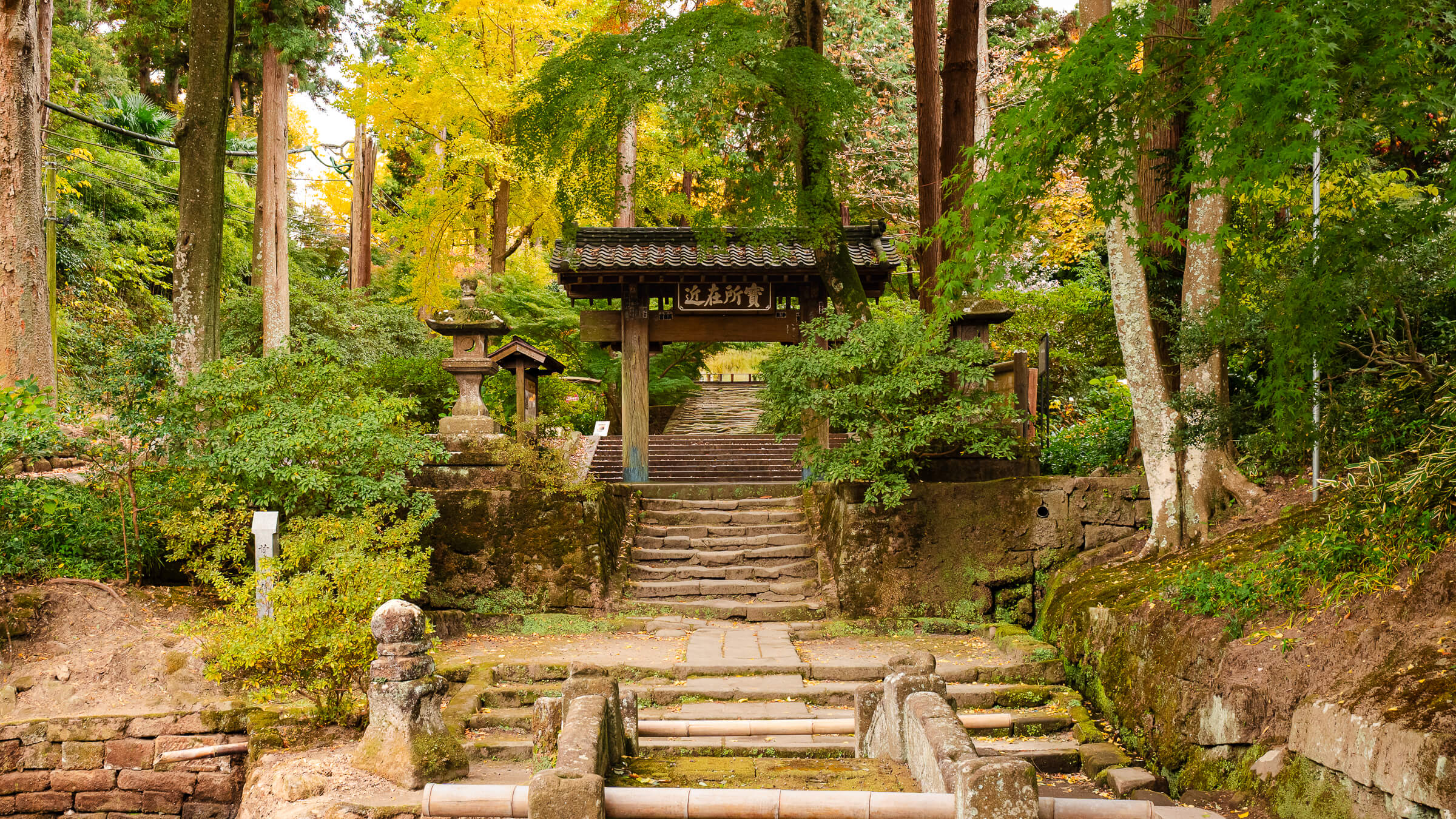
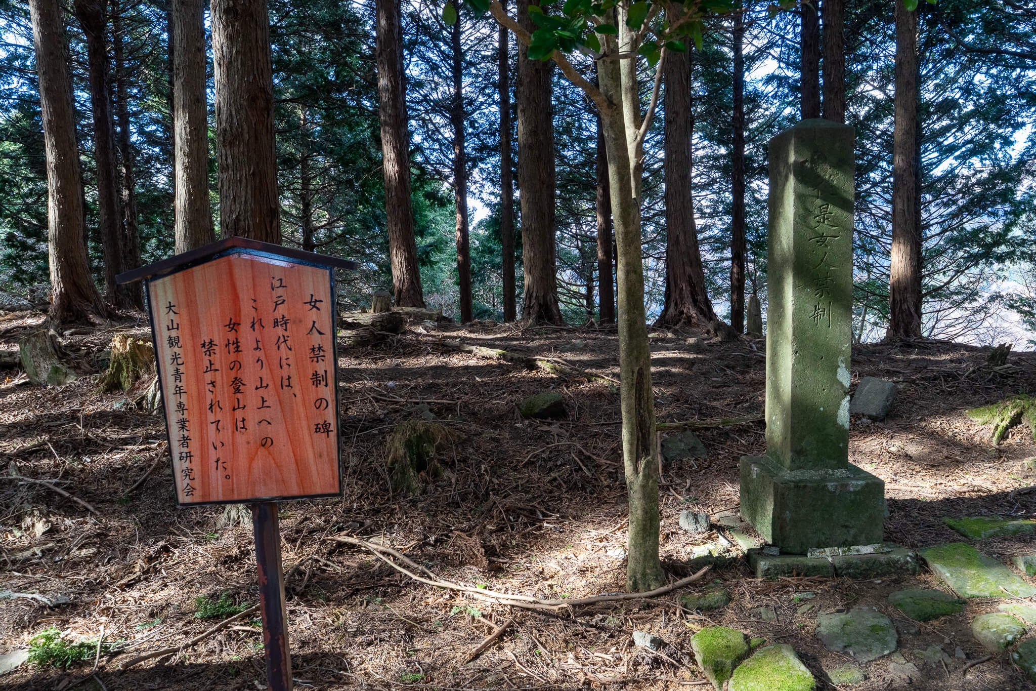
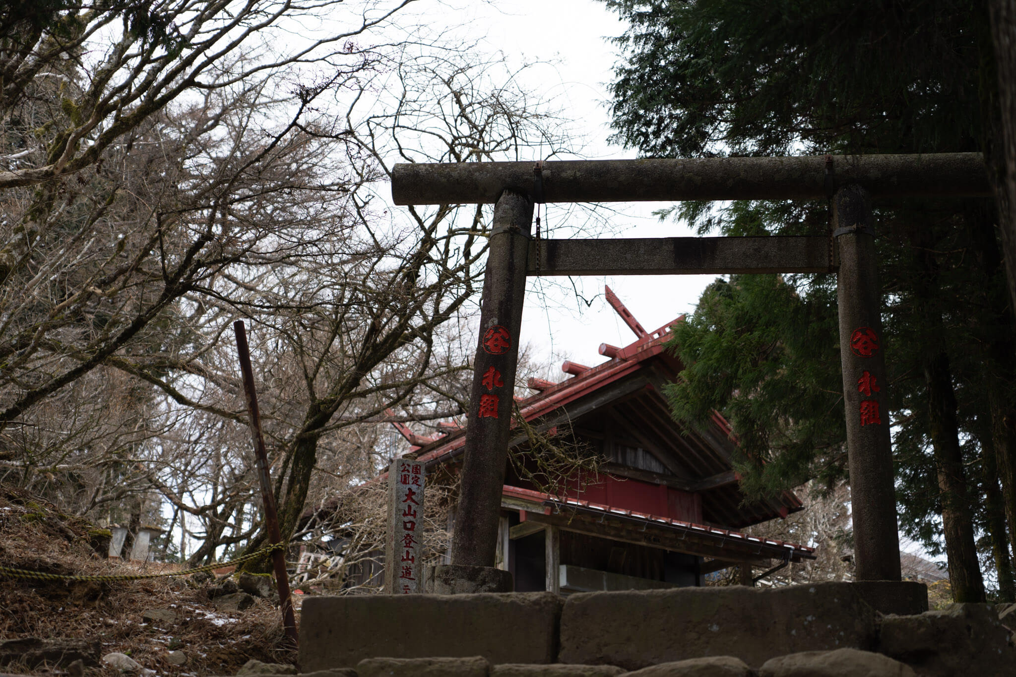
A Boundary You Walk Past Without Ceremony
Midway up the climb, the trail reaches Minoge-goe, a junction where routes intersect. Nearby stands a stone marker inscribed with Nyonin Kinsei, marking a former boundary beyond which women were once forbidden to proceed.
The marker sits quietly beside the trail, encountered while you are already working uphill. There is no clearing or explanation panel—only a reminder that this mountain once regulated who could climb higher, long before elevation was measured in meters.
When the Mountain Becomes Shared Again
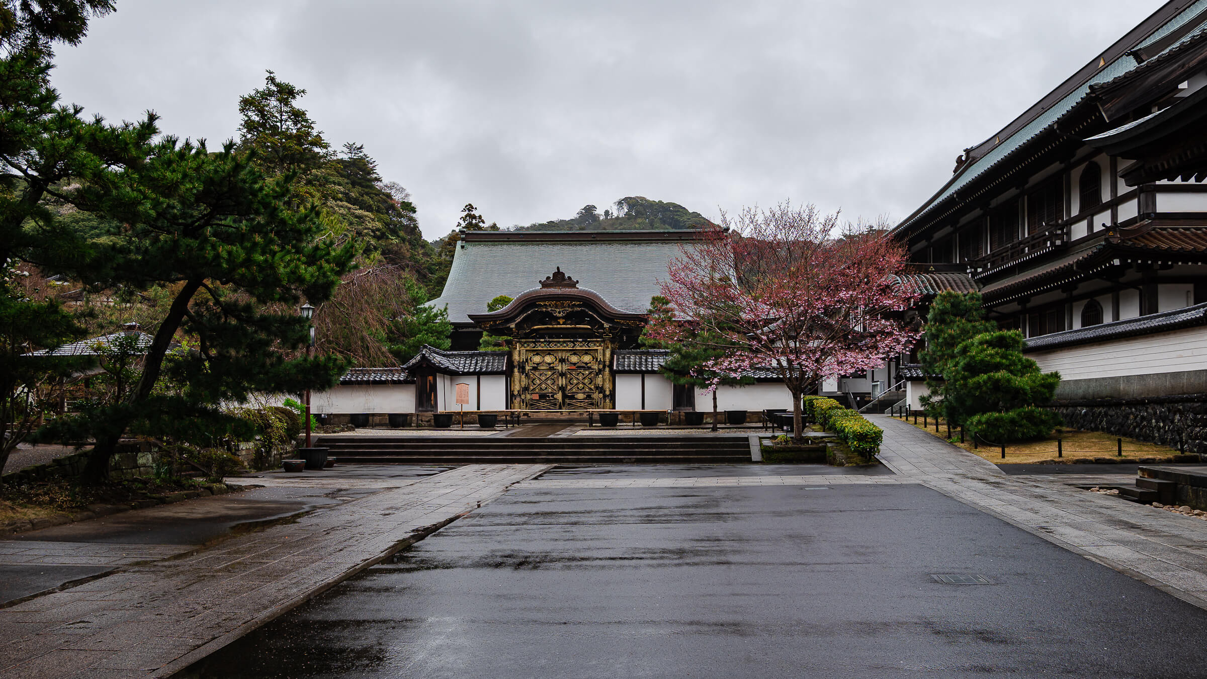
As elevation increases and the summit nears, the Minoge route merges with the Omotesandō approach. The change is immediate. Foot traffic increases, voices carry farther, and the climb shifts from solitary effort to shared movement.
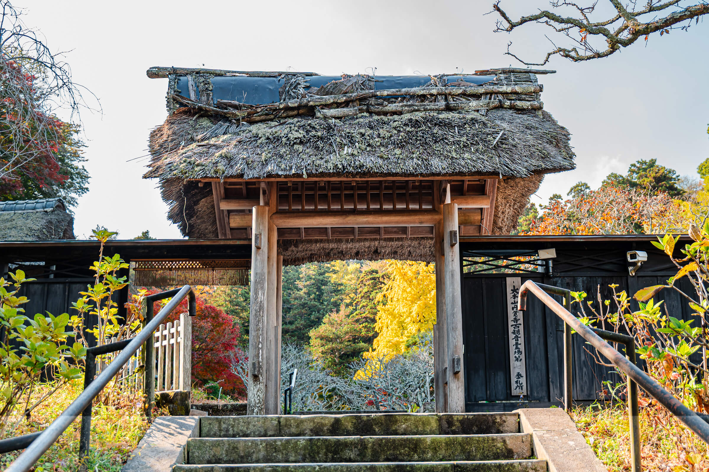
Passing through a large torii gate signals the final approach. By this point, most of the elevation gain is already behind you, and the remaining climb feels shorter but more crowded.
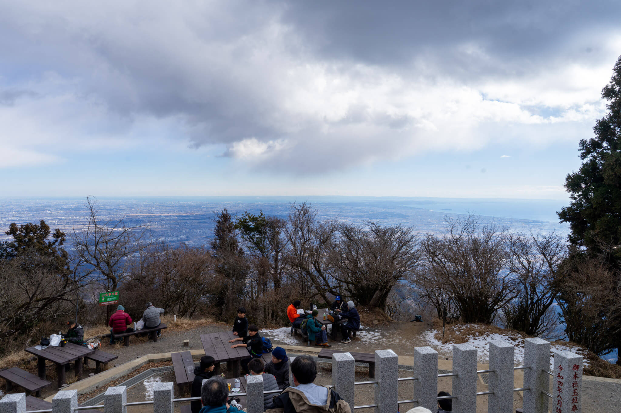
What the Summit Opens Up, Not Up To
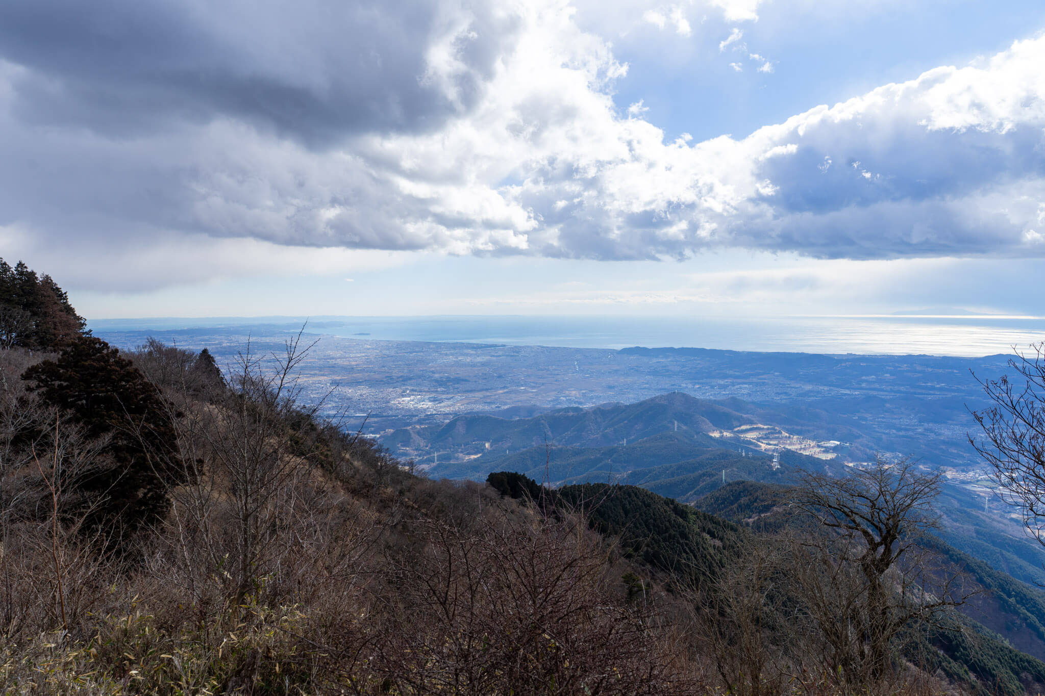
At 1,252 meters, Mt. Oyama’s summit does not overwhelm by height alone. Instead, it opens outward. The Kanto Plain spreads to the east, while the ridgelines of the Tanzawa Range rise with depth and texture to the west.
On clear days, Mt. Fuji appears beyond the ridges rather than dominating them. In colder seasons, lingering snow or ice may remain near the summit, especially in shaded areas, reinforcing that Oyama is still a true mountain despite its accessibility.
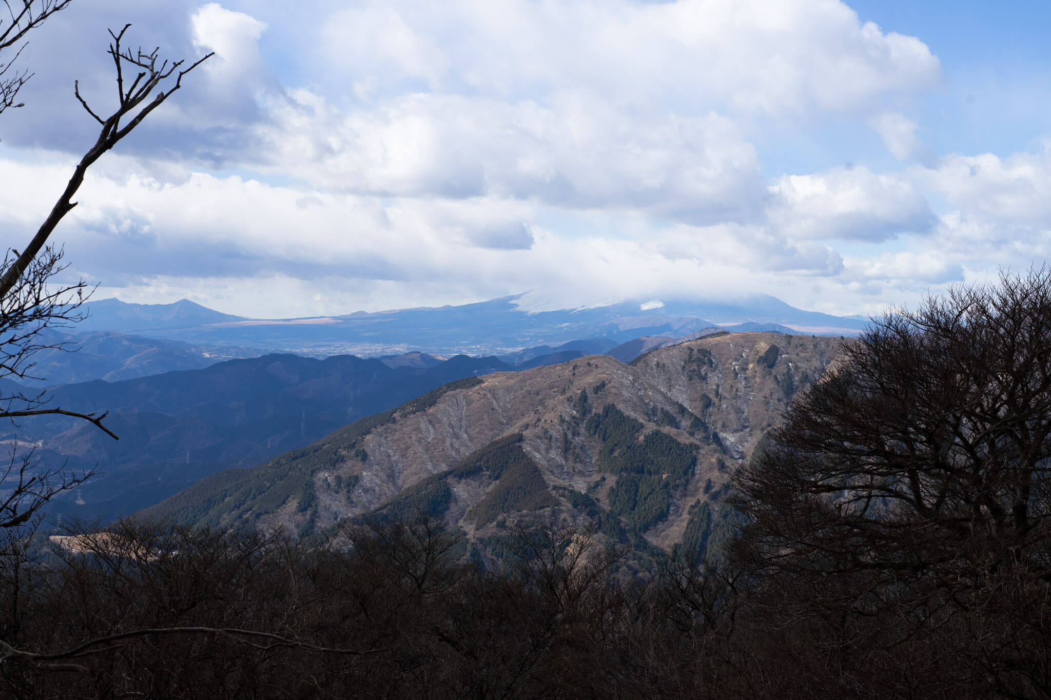
Following the Ridge Instead of Going Straight Down
Descending toward Yabitsu Pass keeps you high on the mountain longer. The ridge walk trades elevation gain for exposure and space, with Mt. Tanzawa lining one side and Sagami Bay occasionally visible on the other.
After a sustained climb of nearly 900 meters, this section often feels lighter. Effort gives way to balance and awareness, and the mountain’s scale becomes easier to read.
Where You Can Pause—or Decide to End Early
Yabitsu Pass sits lower on the ridge and functions as a natural decision point. A small rest area allows for recovery after the main elevation work is complete.
For hikers who prefer not to complete the full loop, buses run from Yabitsu Pass back toward Hadano Station. Ending the hike here shortens the descent while still preserving the core climb.
A Community-Built Way Back Down
Completing the loop means descending via Kashiwagi Rindō, a path completed in 1931 by local resident Kanta Kashiwagi using his own funds. The gradient is gentler, and elevation loss happens gradually rather than abruptly.
A stone monument near the Minoge bus stop marks Kashiwagi’s contribution, closing the day where it began, at a lower elevation and a slower pace.
How This Route Feels Over the Course of a Day
The Minoge approach is defined by sustained elevation gain rather than sharp climbs. The early hours are quiet and inward, shaped by forest and repetition. The summit is social and exposed, while the ridge descent restores space before the final return.
Expect a five-to-six-hour hike at a steady pace. Seasonal conditions matter: wind along the ridge, colder temperatures near the summit, and occasional snow or ice can all affect how the elevation feels on the day.
Where This Fits If You’re Planning the Rest of the Day
Because of the elevation gain involved, this route works best as a single-anchor day. After descending, the Hadano or Tsurumaki Onsen areas provide a natural way to recover without adding more climbing or complex transfers.
Getting There
The Minoge trailhead is reached by bus from Hadano Station. The ride takes about 20 minutes and costs ¥320 one way. Public toilets and vending machines are available at the Minoge bus stop.
Buses also operate from Yabitsu Pass back to Hadano Station for those choosing a shorter descent, though service frequency varies by day.
Hours and Fees
Bus fare (Hadano Station ↔ Minoge): ¥320 one way
Trail access: Free
Summit elevation: 1,252 meters
Approximate elevation gain (Minoge route): 850–900 meters
Mt. Oyama hiking routes: Open year-round, weather permitting