Mount Oyama from Minoge: A Quiet Path Through Ancient Pilgrimage History
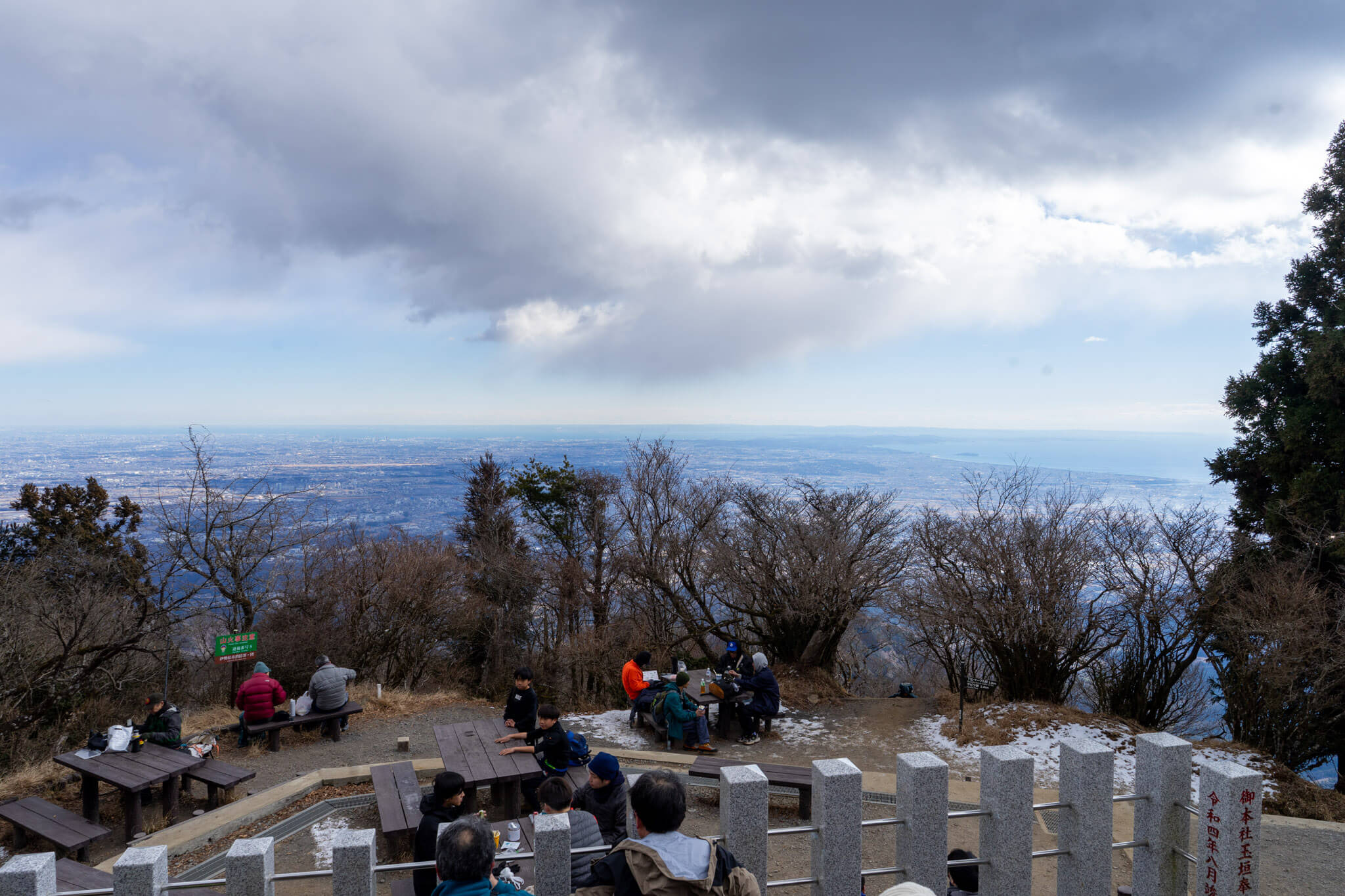
A Different Way Most People Don’t Start Most visits to Mt. Oyama begin near the shrine side, using the Omotesandō steps or the cable car to shorten the climb. That…
Yamakita sits at the western edge of Kanagawa Prefecture, where the lowland corridors give way to the deeper interior of the Tanzawa Mountains. Unlike the coastal cities and resort towns that define much of the prefecture’s public image, Yamakita is shaped by elevation, forest, and distance. Roads narrow quickly here, settlements thin out, and the landscape transitions into long ridgelines, river valleys, and trail networks that favor sustained movement over short sightseeing stops.
This area serves as a primary gateway to western Tanzawa, including trailheads, mountain passes, and loop routes that extend well beyond the reach of Tokyo-oriented day hiking. Infrastructure exists, but it is minimal and functional rather than curated for tourism. As a result, Yamakita appeals most to visitors who value quiet access, physical commitment, and continuity of terrain rather than highlight-driven itineraries.
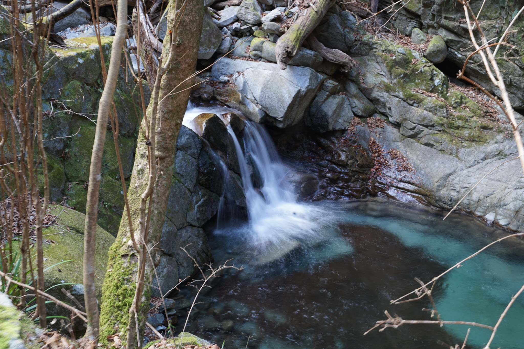
Hiking dominates the experience, with routes ranging from demanding full-day loops to longer traverses linking passes and secondary peaks. The emphasis is less on singular viewpoints and more on immersion—extended forest walking, gradual elevation change, and the rhythm of distance. These qualities make Yamakita a natural counterpoint to the more concentrated hiking areas found closer to urban centers or resort hubs.
While geographically close to Hakone, Yamakita offers a distinctly different mountain experience. Trails here see fewer casual visitors, signage is practical rather than interpretive, and the environment feels governed by function rather than presentation. For those seeking a quieter side of Kanagawa’s mountains—one defined by effort, scale, and restraint—Yamakita provides a clear entry point.
A Different Way Most People Don’t Start Most visits to Mt. Oyama begin near the shrine side, using the Omotesandō steps or the cable car to shorten the climb. That…
Mt. Omuro rises deep within the western side of the Tanzawa mountain range, beyond the better-known trailheads and day-hiking routes that draw visitors toward Hakone. At 1,588 meters, it is…