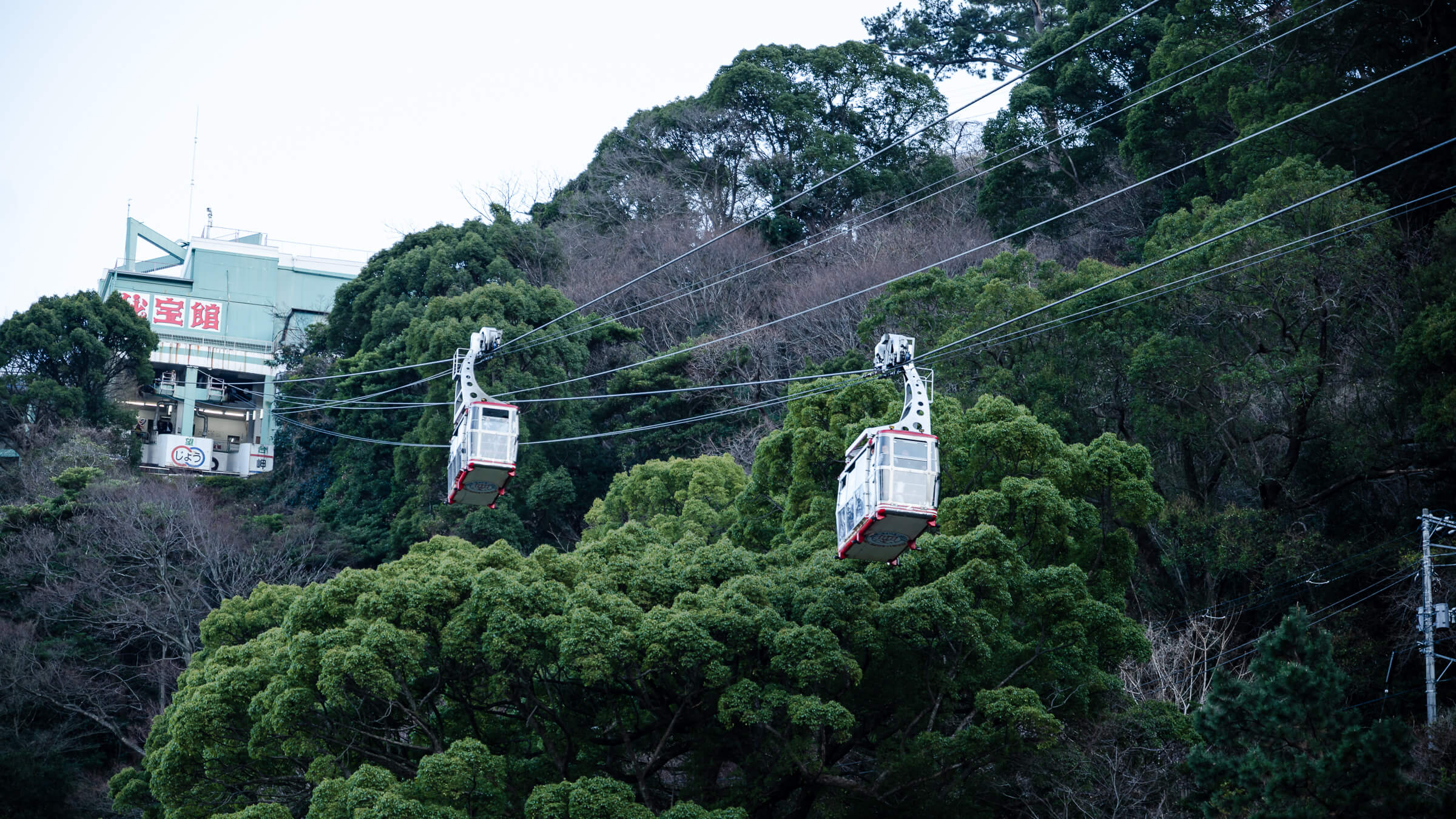
Atami Ropeway — The Easiest Way Up to Atami Castle
Why This Ride Exists in Atami Atami Ropeway exists because Atami rises quickly. The waterfront near Atami Sun Beach is flat and easy to explore. The hilltop area where Atami…
Shizuoka Prefecture lies along Japan’s Pacific coast in the Chubu region. It forms a long corridor between Tokyo and Nagoya and follows the historic Tokaido transport route. Mount Fuji defines the northern skyline. Suruga Bay and the Izu Peninsula shape the southern edge.
This placement creates a prefecture that stretches rather than clusters. Distances run east to west. Coastal geography shifts quickly from steep inlets to wider plains.
The eastern boundary begins near Atami, where rail lines hug the shoreline. South of there, the Izu Peninsula extends into the Pacific. Inland areas move toward Fuji’s lower slopes and broader agricultural valleys.
Shizuoka operates as a sequence of distinct zones rather than a single focal city.
The Izu Peninsula consists of smaller towns connected by coastal roads. Stops sit farther apart than they appear on a map. The Fuji corridor changes the landscape again, with elevation and visibility playing a larger role in how a visit unfolds.
Shizuoka City anchors the center of the prefecture. The Shimizu district faces Suruga Bay and reflects its maritime position. Miho no Matsubara runs along this shoreline, with Mount Fuji visible across the water when conditions allow.
Further west, Hamamatsu faces Lake Hamana and marks the transition toward Aichi Prefecture. Its layout differs from the eastern coastal towns and the Fuji-facing corridor.
Rail lines connect the main east–west corridor efficiently. Major stations link directly to Tokyo and Nagoya. Movement becomes more dispersed once you leave that spine.
The Izu Peninsula covers more ground than rail maps suggest. Travel times increase as the coastline curves. Central Shizuoka remains rail-accessible, while western areas combine rail and road depending on destination.
Treating the prefecture as one compact base rarely reflects its scale. Movement typically follows sub-regions rather than a single hub.
Why This Ride Exists in Atami Atami Ropeway exists because Atami rises quickly. The waterfront near Atami Sun Beach is flat and easy to explore. The hilltop area where Atami…
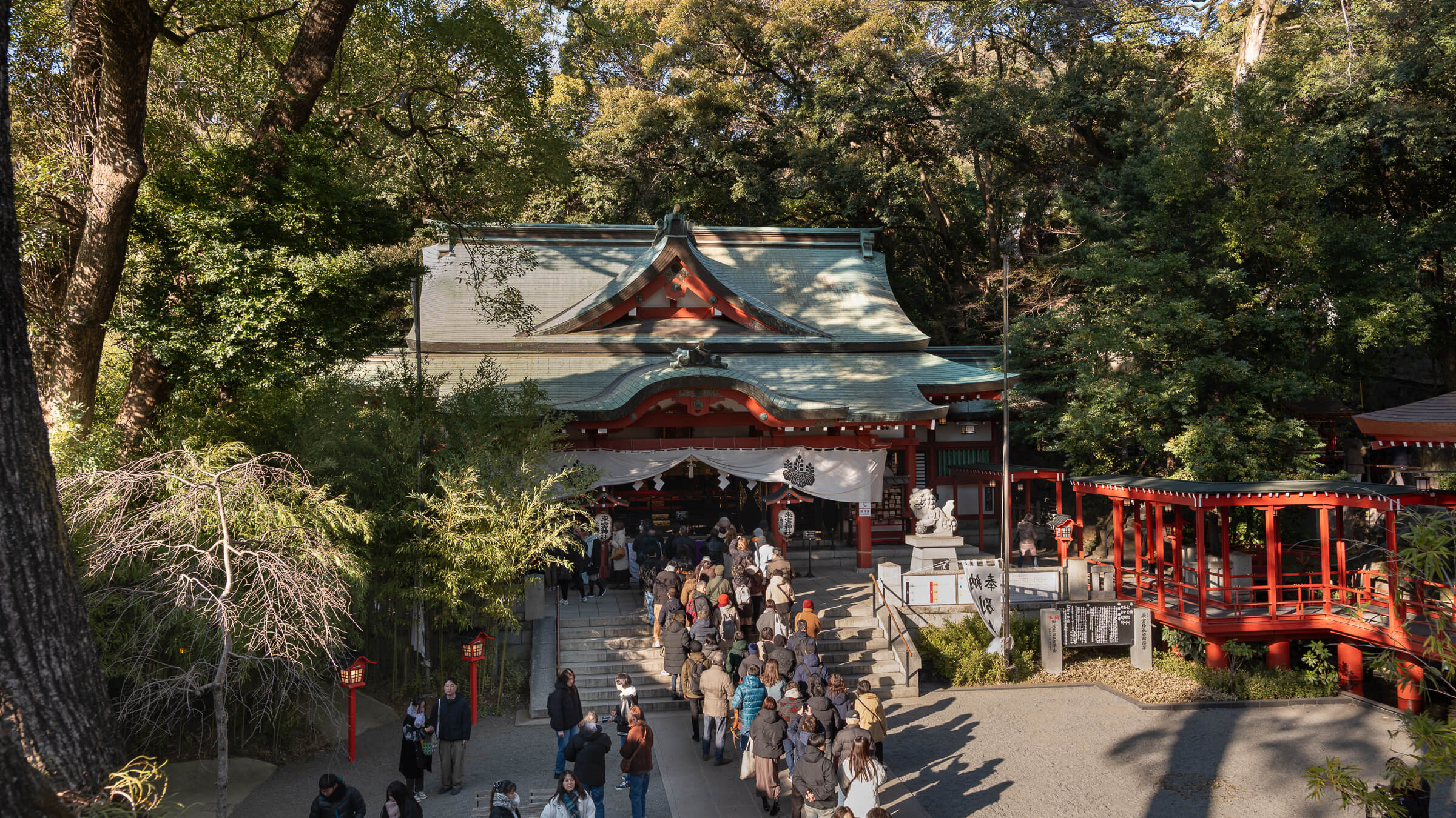
A Shrine That Reveals Itself in Stages Kinomiya Shrine doesn’t announce everything at once. The visit unfolds in short, readable segments: an approach that establishes the order, a courtyard that…
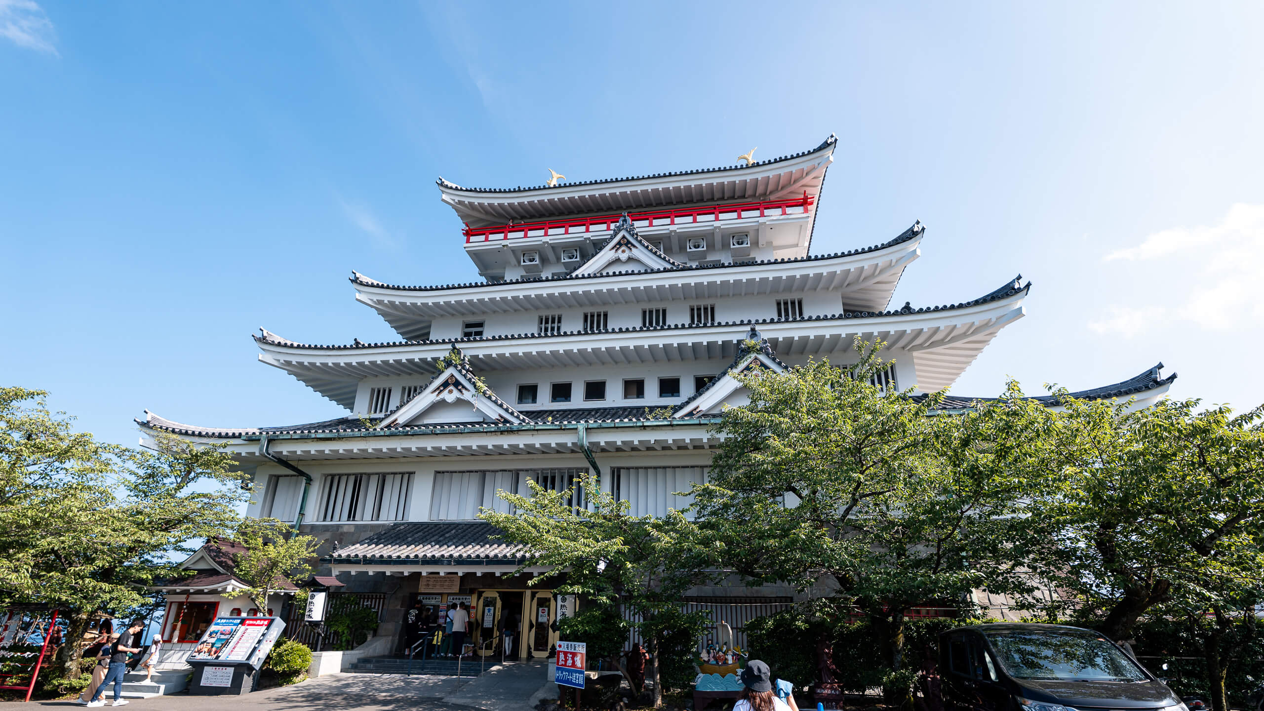
Seeing Atami from Above Atami Castle sits on a hill above the city, and its value becomes clear almost immediately. From the top, the station area, residential slopes, harbor, and…
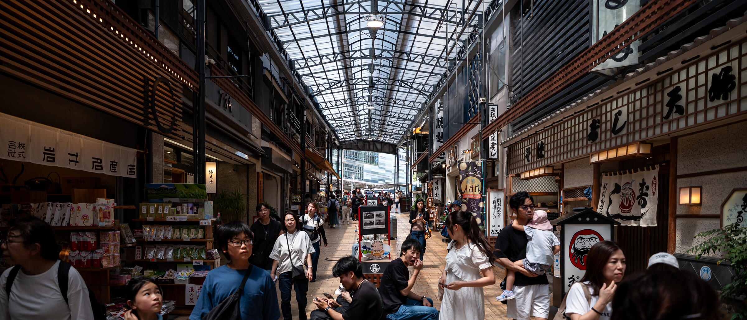
What kind of visit this is The shopping streets directly outside Atami Station form a short arrival walk rather than a destination in themselves. Two covered arcades—Atami Heiwa-dōri Shopping Street…